
Drive up Saddleback Mountain Road
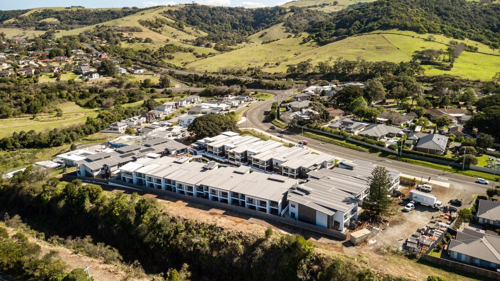
Saddleback Mountain rises more than 600 metres above sea level behind Kiama. The lookout is on Jack Cleary Memorial Drive, off Saddleback Mountain Road, about 6 km south-west of the town centre. From Kiama Ridge Waters it is a 9-minute drive (6.8 km), and you park in the car park at the top.
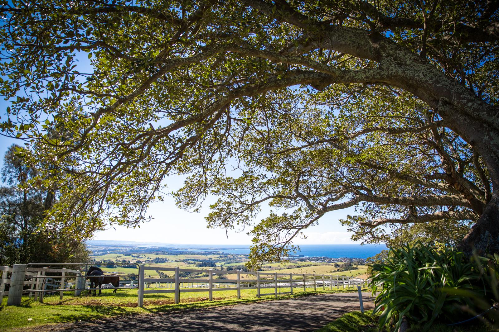
The road climbs the escarpment through dairy country. Destination Kiama points out the photo stops on the way: historic dry stone walls, dairy cows and cabbage trees coming in and out of view. Take it slowly, as the road winds, and pull over only where it is safe.
No opening hours or entry fee are published for the lookout. For directions, open Saddleback Mountain Lookout in Google Maps.
Take in the view from both platforms
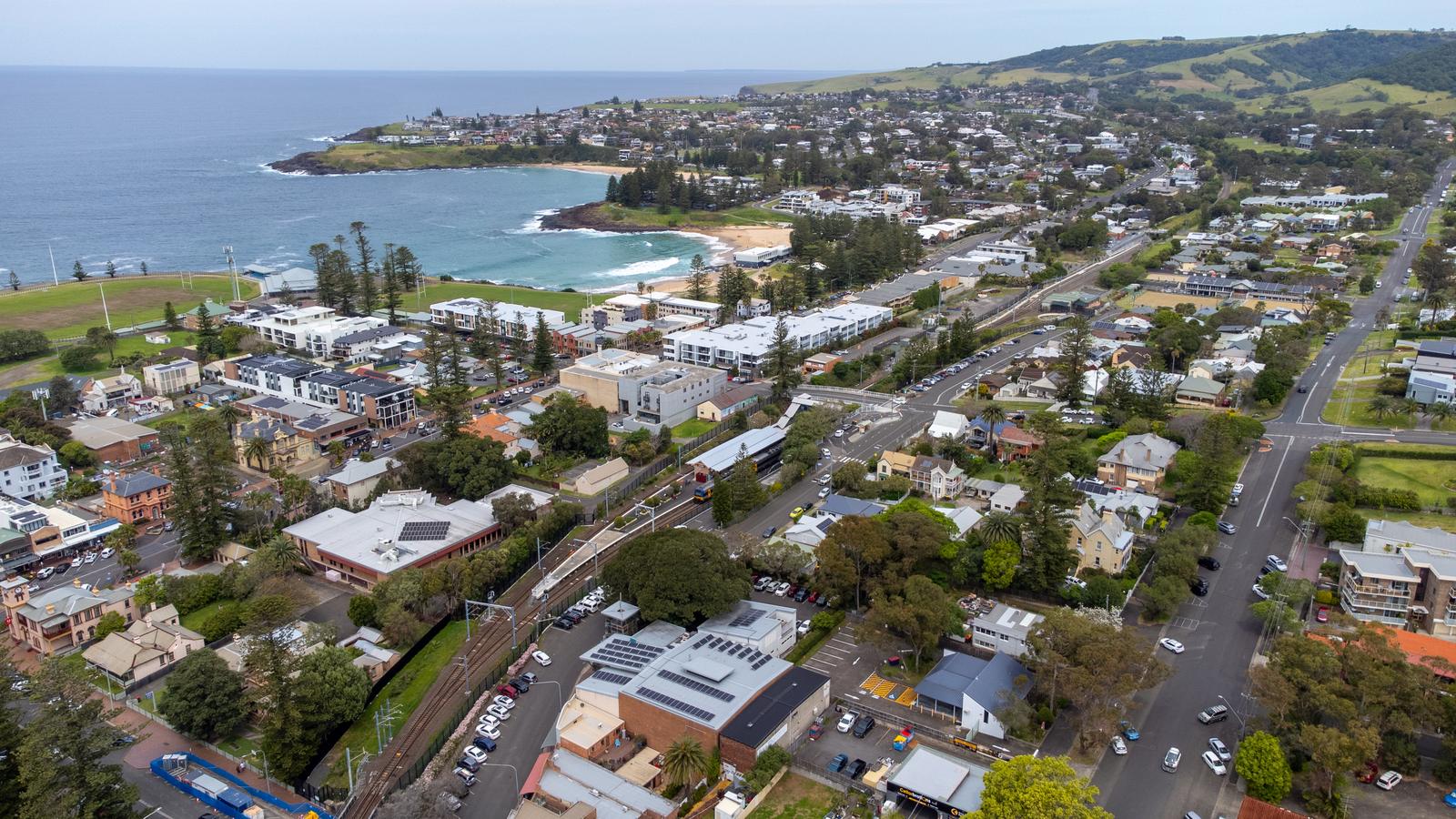
There are two viewing platforms, and it is worth visiting both:
- North platform: faces north, right off the main car park.
- South platform: further up from the main car park, and the newer of the two.
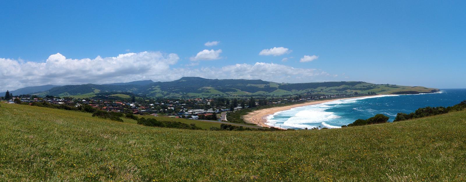
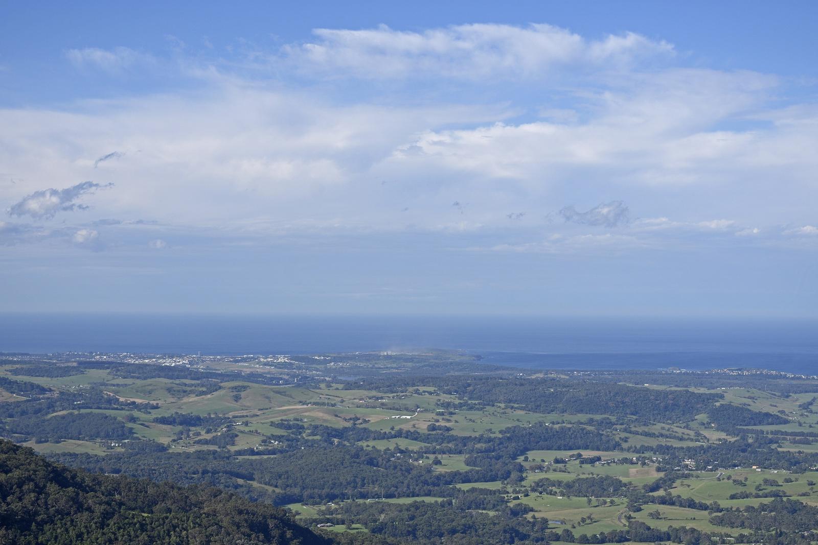
On a clear day Destination Kiama, Kiama Council and Visit NSW all say you can see from Cronulla in the north to Milton in the south. Destination Kiama's walks guide adds Jervis Bay, Mount Noorinan and Pigeon House Mountain to the list. Below you, the green hills of Jamberoo roll down to Kiama and the Pacific.
Destination Kiama's walks guide says both platforms are wheelchair and pram accessible, so this is one of the easiest big views in the area for grandparents, prams and anyone who would rather not climb.
The air changes as you reach the top. It is often cooler and windier than on the coast, so bring a jacket, even in summer.
Saddleback Mountain Lookout
Saddleback Mountain
Two viewing platforms and a car park on Jack Cleary Memorial Drive, managed by Kiama Council. About 9 minutes by car from Kiama Ridge Waters.
WebsiteGoogle MapsDirections: Google Maps · Waze
Go at sunrise for the light
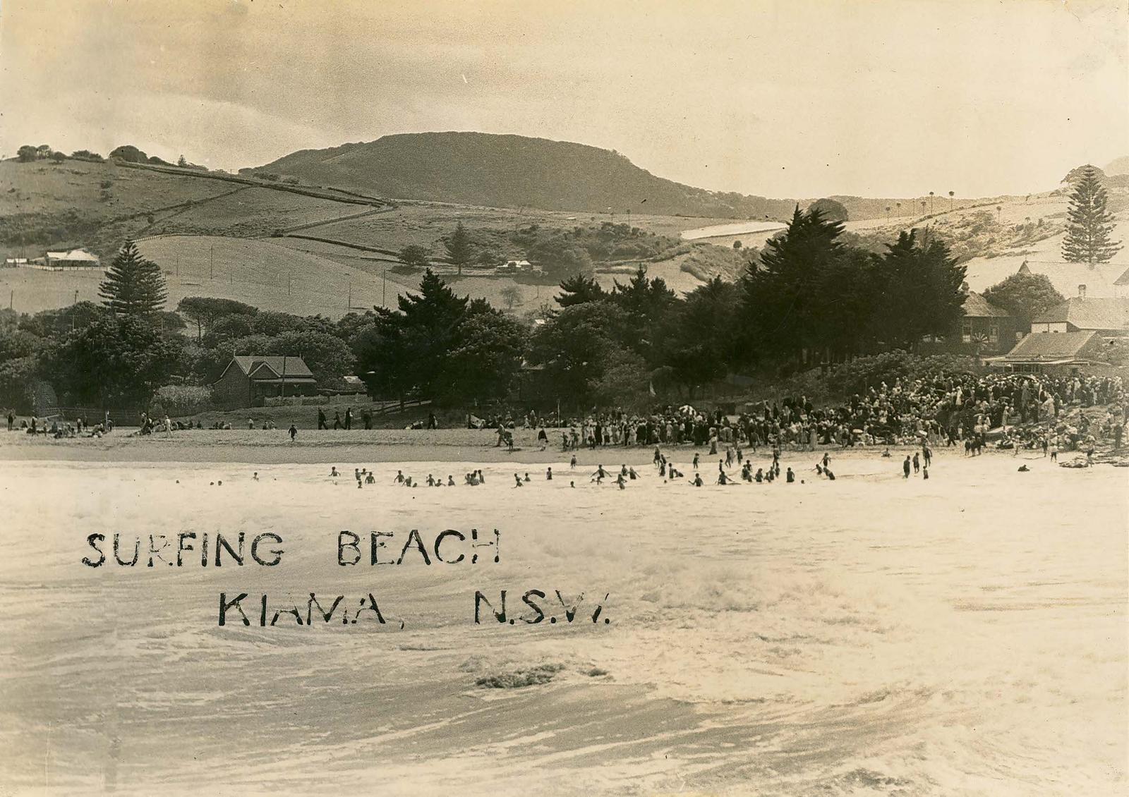
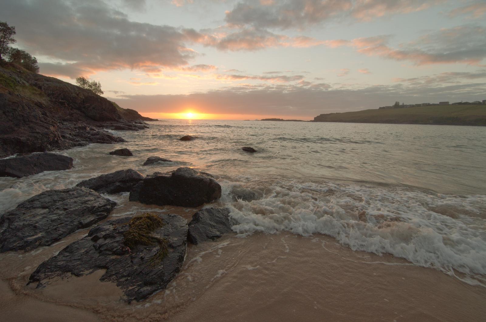
Destination Kiama rates sunrise as the time to be here, when the first light catches the green hills, the town and the ocean. Kiama faces east, so the sun comes up over the water in front of you.
Because it is only a 9-minute drive, you can leave the apartments about 20 minutes before first light and be on the platform in time. Check the morning's times in our Kiama sunrise and sunset guide, and look at the Kiama weather first, as low cloud on the escarpment can hide the view completely.
In winter and spring, scan the sea for whale spouts. Humpbacks pass the coast from about May to November, and you will get a closer look from the headlands in town. See whale watching in Kiama.
Check Hoddles Track before you plan the walk
Hoddles Track starts at the Saddleback Mountain lookout and follows green marker posts west, up the ridge and into the escarpment to Mount Noorinan. It is named after surveyor Robert Hoddle, who forged a route from the Southern Highlands to Kiama Harbour in the 1830s. In the 1800s it was used to carry produce down to Kiama for shipping, and it once ran all the way west to Bowral.
Track status: Destination Kiama and the NSW Government list Hoddles Track as closed because of fallen trees and track maintenance, with a closure sign near the NPWS boundary. Before you go, check the NPWS alerts for Barren Grounds or call the Kiama Visitor Information Centre on 1300 654 262. Do not walk past a closure sign.
When it is open, here is what to expect:
- Distance and time: the official listings give 7 km return and about 2 hours. Destination Kiama's walks guide, which includes the lookouts, gives 8 km return and 3 hours.
- Grade: hard (grade 4), for experienced bushwalkers only. It is steep and eroded in places, loose underfoot and can be slippery after rain.
- Route: the track begins as a fire trail near the western lookout and drops steeply, then climbs again on green markers towards the escarpment and into rainforest, ending at Mount Noorinan.
- Other start: you can join halfway by parking at the corner of Foxground Road and Hoddles Road, then walking up the road past farmland and a steep climb to the T-junction with the track.
- Facilities: car park and picnic area. Wear sturdy shoes, carry water and tell someone your plans.
Destination Kiama asks visitors to respect the natural environment, taking only photographs and leaving only footprints.
Hoddles Track
Saddleback Mountain to Mount Noorinan
A steep 7 to 8 km return bushwalk from the lookout car park, graded hard. Listed as closed because of fallen trees and track maintenance, so check before you go.
WebsiteGoogle MapsDirections: Google Maps · Waze
Look for rosellas and bristlebirds
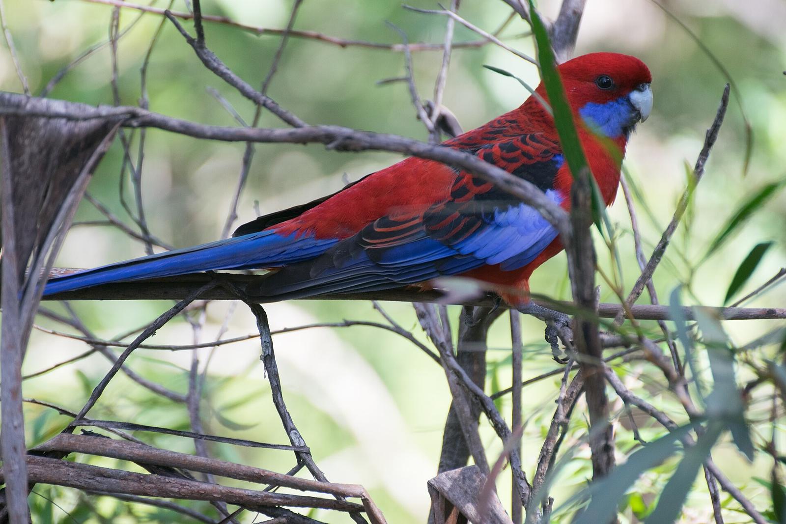
Birdwatching is popular along Hoddles Track. Destination Kiama and the NSW Government listing name three birds to look for:
- Crimson rosellas
- Eastern bristlebirds
- Golden whistlers
Bring binoculars if you have them, and pair birdwatching with a sunrise visit when the mountain is quiet.
Spot the dry stone walls on the way down
Nearly 400 dry stone walls are listed as heritage items in the Kiama Municipality. Most were built more than 100 years ago, when the land was cleared for crops and grazing, and much of the work is credited to Thomas Newing, who built walls here for more than 60 years.
The walls are made from local volcanic stone, with two faces leaning against each other and a continuous row of larger stones on top. Destination Kiama says Saddleback Mountain Road has some good examples, and volunteers have repaired or rebuilt walls along it using traditional methods.
Enjoy them from the road. Kiama Library holds more on their history.
Pair the lookout with a half day inland
Saddleback Mountain fits easily into a morning or afternoon in the hills behind Kiama:
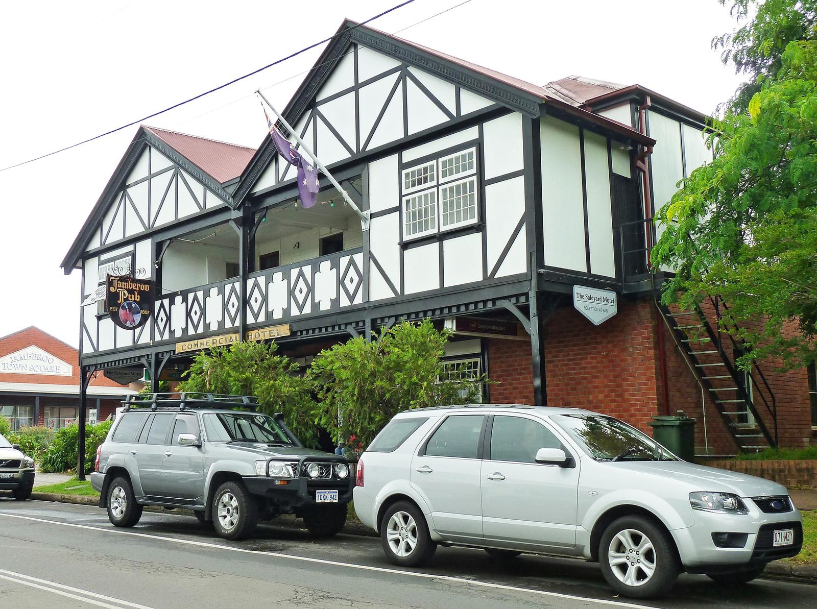
- Jamberoo: the farming village in the valley below, about 14 minutes' drive from the apartments. See our Jamberoo guide.
- Minnamurra Rainforest: boardwalks and a waterfall walk in Budderoo National Park, about 25 minutes' drive. See Minnamurra Rainforest.
- More views: Mt Pleasant Lookout at Gerringong and the Sir Charles Kingsford Smith Memorial at Seven Mile Beach look over the coast. See our Kiama lookouts guide.
For other walks, including the Kiama Coast Walk and short headland loops, see walks in Kiama. With children, our things to do in Kiama with kids guide lists easy outings, and the lookout itself is a good no-walk option.
Stay close to the coast and the hills
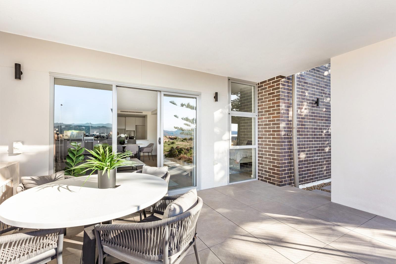
From Kiama Ridge Waters, Saddleback Mountain is a 9-minute drive and Easts Beach a 15-minute walk (1.3 km), so you can catch sunrise at the lookout and swim before breakfast. Each of the three-bedroom apartments at 2 Surfleet Place sleeps six, with secure parking for two cars.
Most of our apartments welcome pets (a $200 cleaning fee applies). Check-in is from 3pm and check-out is by 10am. See our three-bedroom apartments in Kiama, group stays and pet-friendly accommodation in Kiama, or check availability.
Quick answers
Where is Saddleback Mountain?
Saddleback Mountain is on the escarpment about 6 km south-west of Kiama, on the NSW South Coast. The lookout is on Jack Cleary Memorial Drive, off Saddleback Mountain Road. It is about a 9-minute drive (6.8 km) from Kiama Ridge Waters, with a car park at the top.
Can you drive to the top of Saddleback Mountain?
Yes. Saddleback Mountain Road winds up through farmland to a car park at the lookout, so you do not need to walk. The north platform is right next to the car park and the south platform is a short way further up. Both are listed as wheelchair and pram accessible.
Is Saddleback Mountain hard to climb?
The lookout is easy because you drive to it. Hoddles Track, the walk from the lookout to Mount Noorinan, is graded hard: 7 to 8 km return, steep, eroded and slippery in places, for experienced bushwalkers only. It is listed as closed because of fallen trees and track maintenance, so check first.
Is Hoddles Track open?
Destination Kiama and the NSW Government list Hoddles Track as closed because of fallen trees and track maintenance. Check NPWS alerts for Barren Grounds or call the Kiama Visitor Information Centre on 1300 654 262 before you go.
What can you see from Saddleback Mountain?
On a clear day you can see from Cronulla in the north to Milton in the south, according to Destination Kiama, Kiama Council and Visit NSW. The view takes in the Jamberoo valley, Kiama township and the Pacific, and Destination Kiama's walks guide also lists Jervis Bay and Pigeon House Mountain.
What time of day should you visit Saddleback Mountain?
Destination Kiama recommends sunrise, when the first light hits the green hills, the town and the ocean. Pick a clear morning, as low cloud on the escarpment can hide the view. It is often cooler and windier than the coast, so bring a jacket.
Sources and useful links
- Destination Kiama: Saddleback Mountain
- Kiama Council: Saddleback Mountain
- Visit NSW: Saddleback Mountain Lookout
- Destination Kiama: Hoddles Track
- NSW Government: Hoddles Track, Kiama
- NPWS: Barren Grounds Nature Reserve local alerts
- Destination Kiama: Kiama Walks Guide 2023 (PDF)
- Destination Kiama: Historic Dry Stone Walls, Kiama
- Destination Kiama: Six of Kiama's photography spots
- Destination Kiama: Lookouts