
Find Kiama Ridge Waters on the south side of Kiama
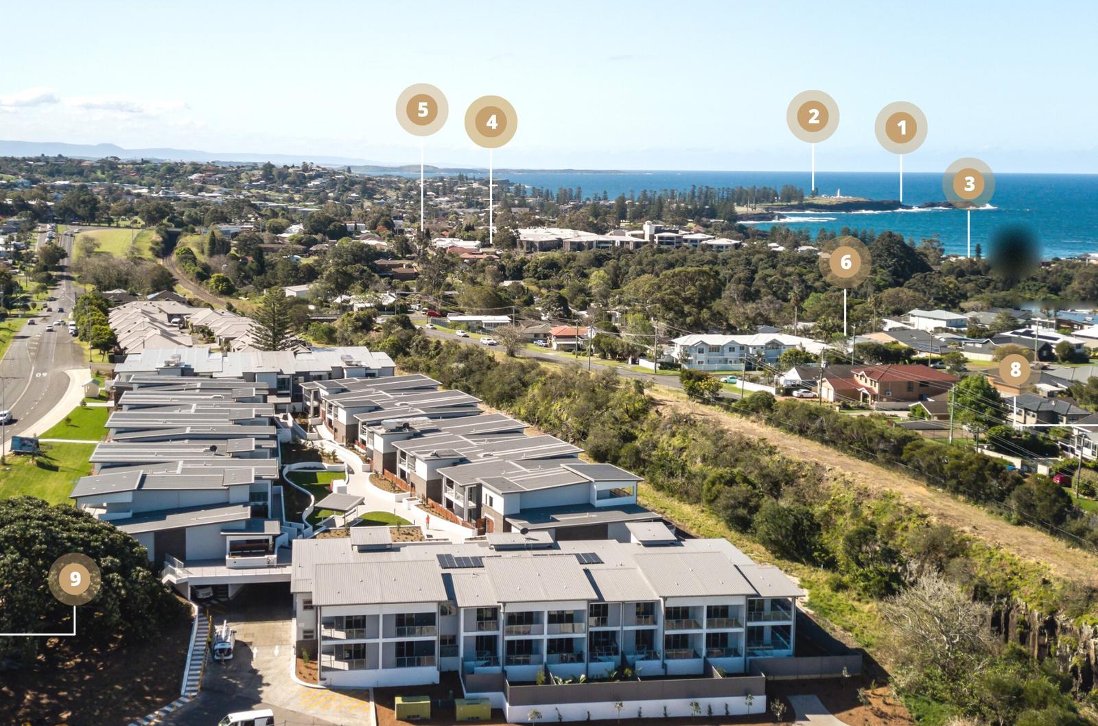
Kiama Ridge Waters, also known as Ridgewaters Kiama, is a development of three-bedroom apartments in four low-rise buildings at 2 Surfleet Place, Kiama NSW 2533. It sits on a ridge on the south side of town, off South Kiama Drive, with the hills rising behind it to the west and the coast below it to the east. Every time and distance in this guide is from the front door, along real streets and paths.
| Address | 2 Surfleet Place, Kiama NSW 2533 (open in Google Maps) |
|---|---|
| Easts Beach | 15-minute walk (1.3 km) |
| Kendalls Beach | 16-minute walk (1.4 km) |
| Little Blowhole Reserve | 20-minute walk (1.6 km) |
| Town centre and Kiama station | About a 27-minute walk (2.2 km to the station, 2.3 km to the town centre) or a 3-minute drive |
| Kiama Blowhole and Lighthouse | About a 35-minute walk (2.9 km) |
| Wollongong | About 35 minutes by car (44 km) |
| Sydney CBD | About 1 hour 45 minutes by car (134 km) |
The apartments are a walk from the sand, not on it. If you want to hear the surf from bed, this is the wrong address. If you want a short walk to two beaches and a quiet street to come home to, read on.
Walk 15 minutes to Easts Beach
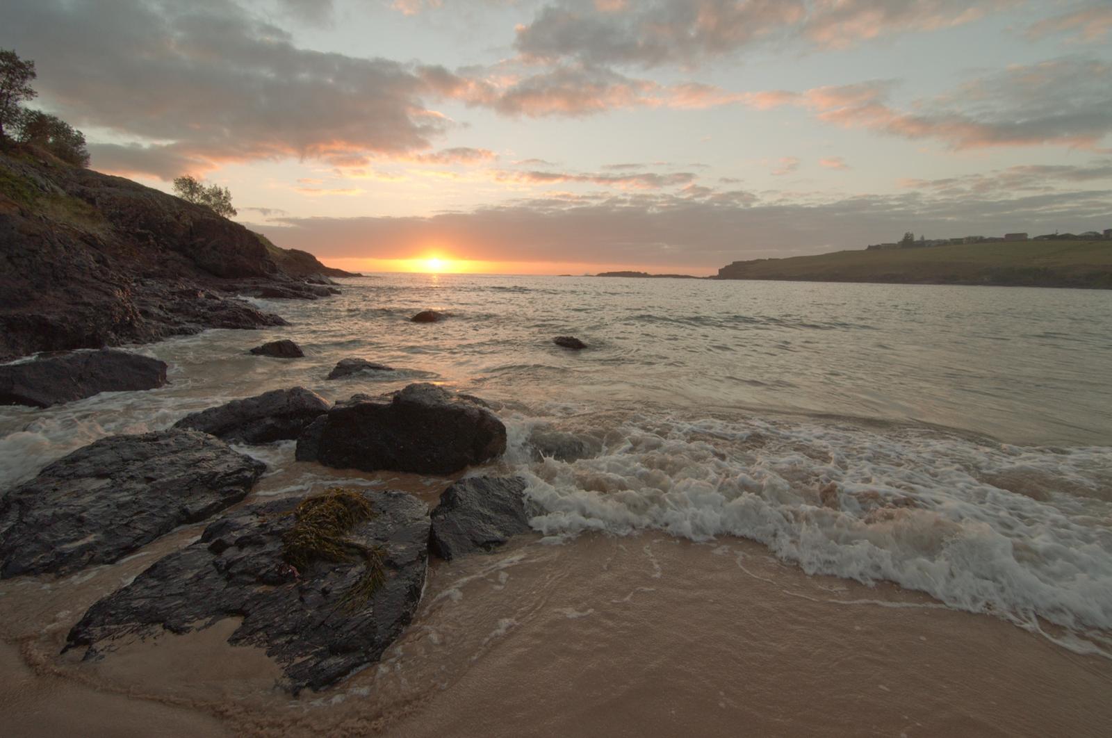
Easts Beach is the closest sand: 1.3 km and about 15 minutes on foot, to the nearest point on the beach. It is a sheltered, east-facing beach between two headlands, and council lifeguards patrol it over the Christmas school holidays. Read our Easts Beach guide for swimming, the creek at the south end and the walk along the headland.
Kendalls Beach is one minute further, at 16 minutes. The Little Blowhole is 20 minutes away, and Bonaira Native Gardens is about 16 minutes on foot. Keep going north along the coast and you reach the town, the harbour and Blowhole Point in about 35 minutes. Our Kiama Coast Walk guide shows how the beaches link up.
Run everyday errands in 3 to 4 minutes by car
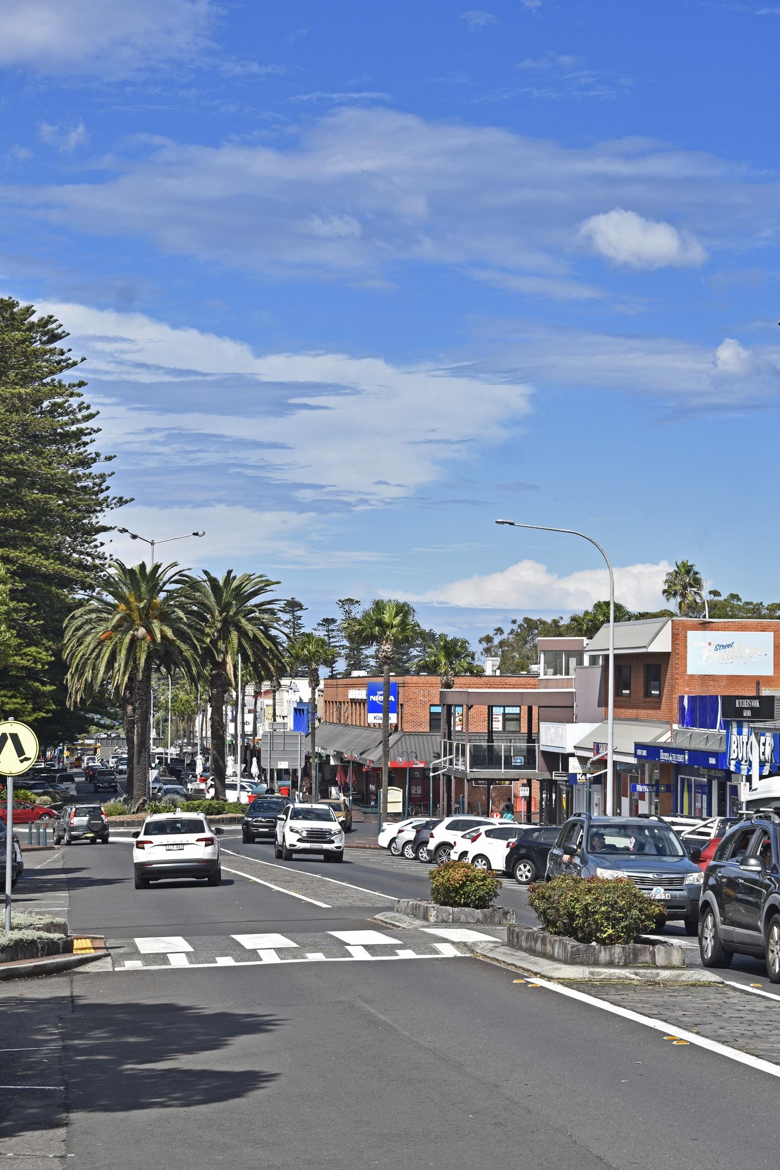
Town is close enough to walk on a nice day and quick enough to drive when you are carrying the shopping. Here is how far each place is from the front door:
| Place | On foot | By car |
|---|---|---|
| Top Shop grocer, Manning Street | 14 minutes | Short drive |
| Kiama station | 27 minutes (2.2 km) | 3 minutes (2.3 km) |
| Kiama Library, Railway Parade | 28 minutes (2.3 km) | 3 minutes (2.5 km) |
| Kiama Leagues Club, 109 Terralong Street | 34 minutes (2.8 km) | 3 minutes (2.8 km) |
| Woolworths, Kiama Village, Terralong Street | 38 minutes (3.1 km) | 4 minutes (3.3 km) |
| Kiama Golf Club, Oxley Avenue, Kiama Downs | Not practical | 9 minutes (7.8 km) |
Woolworths in Kiama Village is the town's large supermarket. Kiama Leagues Club runs a free courtesy bus for members and patrons, from 5pm Monday to Thursday and from 4pm Friday to Sunday (call (02) 4232 1777), which is handy for a night out. Services change, so check before you go. For the rest of town, see our guides to shops in Kiama, where to eat in Kiama and golf near Kiama.
Check schools and health care by distance
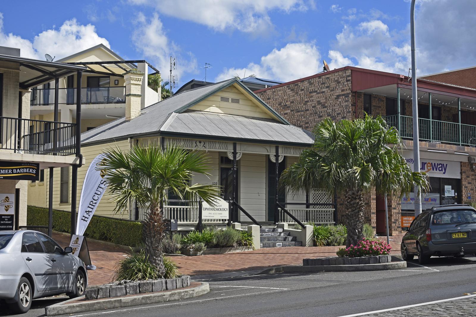
For families and anyone thinking about a longer stay, these are the distances to the public schools and health services. They are distances only. Enrolment depends on the school's local area, so check your address with the NSW Department of Education School Finder and contact the school directly.
| Place | On foot | By car |
|---|---|---|
| Kiama High School, Saddleback Mountain Road | 20 minutes (1.4 km) | 3 minutes (2.0 km) |
| Kiama Public School, 67 Bong Bong Street | 35 minutes (2.6 km) | 4 minutes (2.6 km) |
| Kiama Integrated Primary and Community Health Centre, 14B Bonaira Street | 14 minutes (1.2 km) | 3 minutes (1.2 km) |
| Shellharbour Hospital, Mount Warrigal | Not practical | About 20 minutes (21 km) |
| Wollongong Hospital | Not practical | 32 minutes (42 km) |
The Bonaira Street centre is run by Illawarra Shoalhaven Local Health District and offers community care such as nursing, physiotherapy, child and family health and dental, by appointment through the Access and Referral Centre on 1300 792 755. It is a clinic, not an emergency department. The nearest emergency service is at Shellharbour Hospital. In an emergency, call 000.
Get to Sydney and Wollongong by car or train
By car: heading south, South Kiama Drive meets the Princes Highway about 1.2 km from the door, a drive of a minute or two. Heading north, the route runs through town to the motorway interchange off Bland Street, about 2.4 km and 4 minutes away. From there it is about 35 minutes (44 km) to Wollongong and about 1 hour 45 minutes (134 km) to the Sydney CBD. Drive times are without traffic, so allow more at peak times and on holiday weekends.
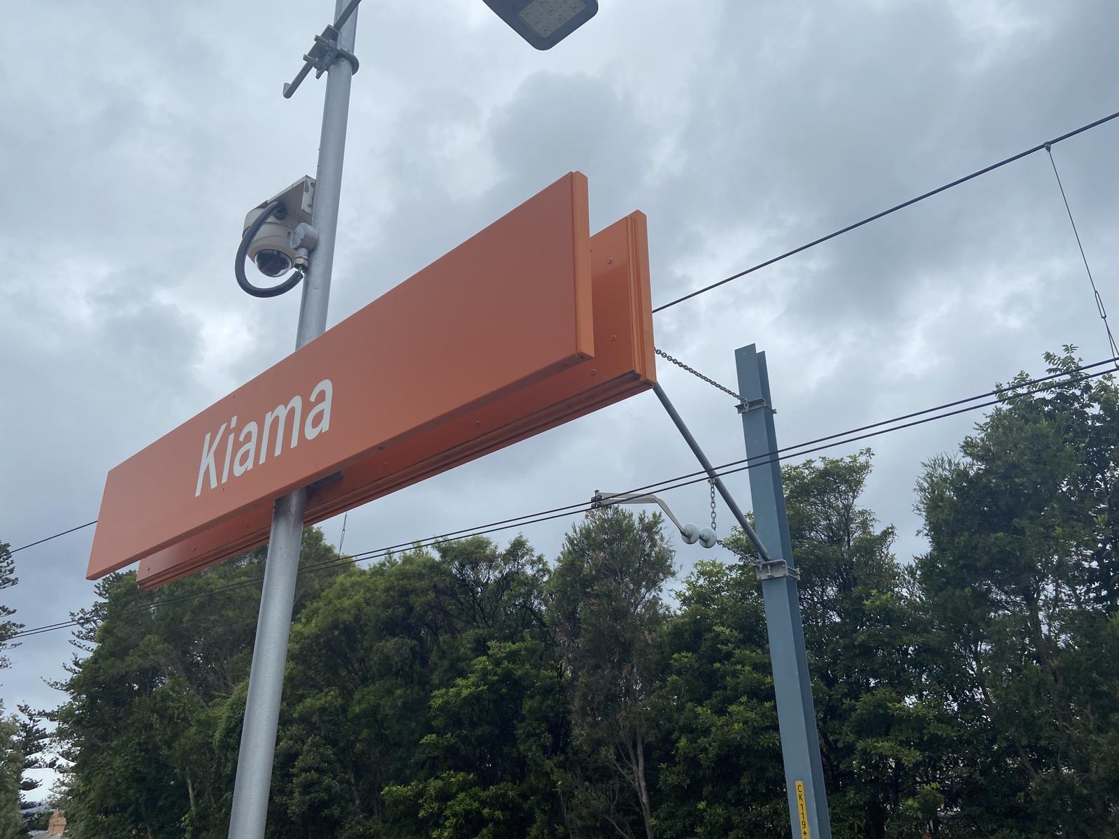
By train: Kiama station is a 27-minute walk or a 3-minute drive. Intercity South Coast Line trains run from Sydney to Kiama about every hour. For Bomaderry (Nowra), change at Kiama. Plan your trip and check times on Transport NSW. Our Sydney to Kiama guide covers the drive, the train and the coach in detail.
Look west to the escarpment and the hinterland
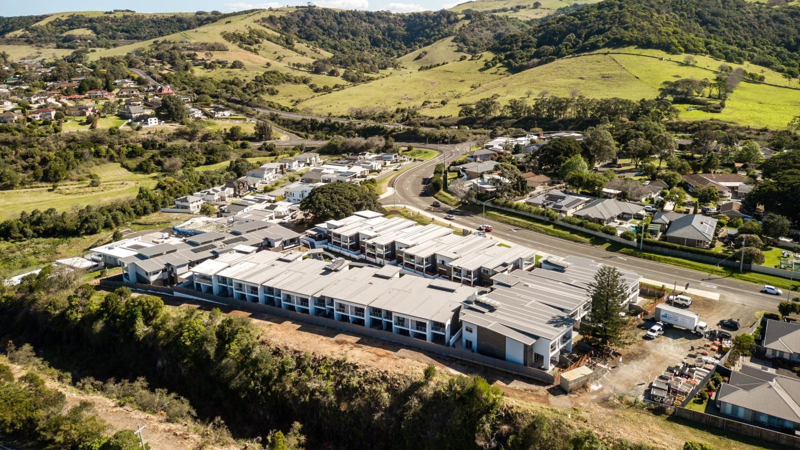
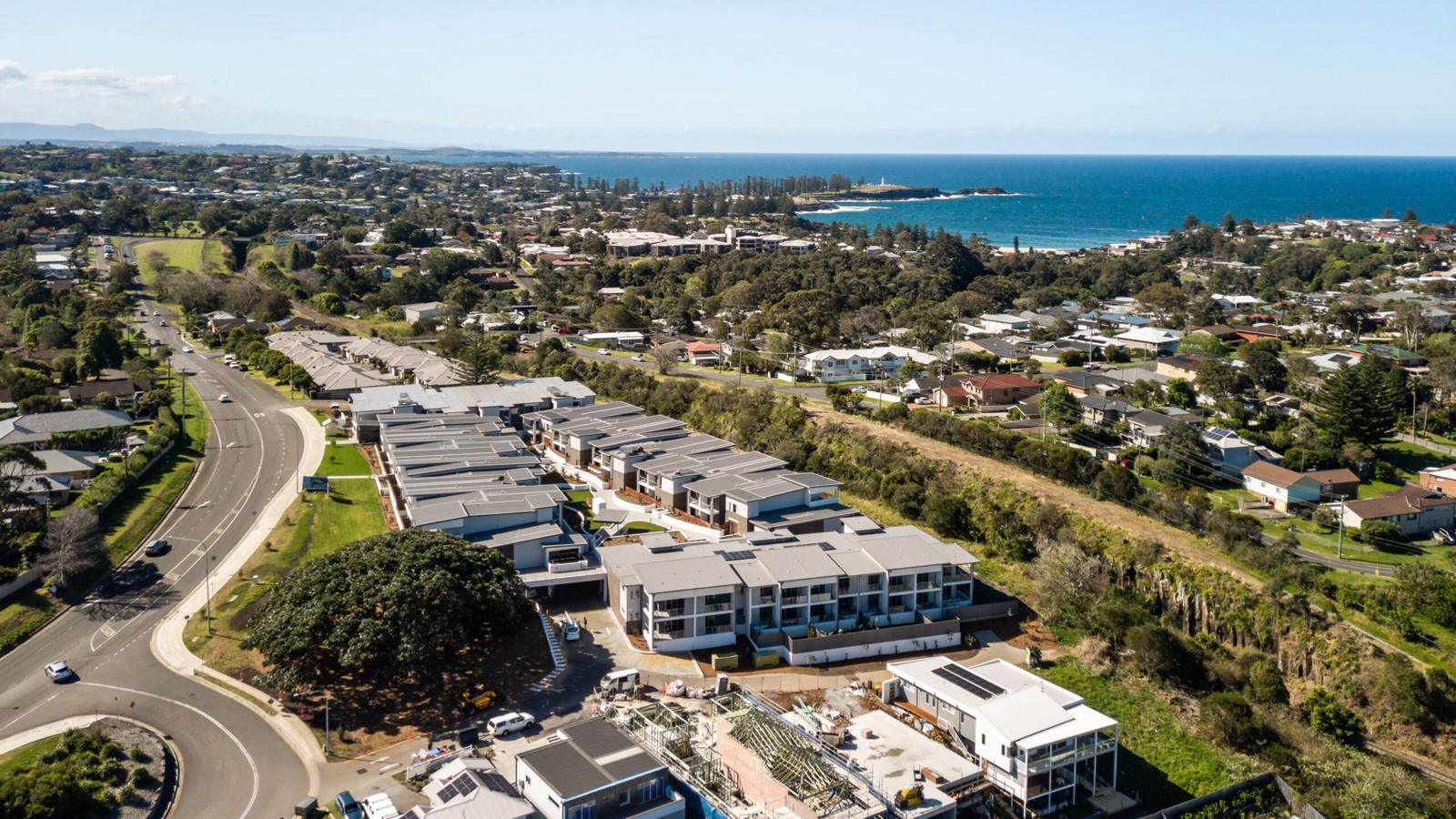
Behind the buildings, the land climbs into green paddocks and hills, as our aerial photo shows. The hinterland is close by car:
- Saddleback Mountain Lookout: a 9-minute drive (6.8 km), with views along the coast from more than 600 metres above sea level. See Saddleback Mountain.
- Jamberoo: about 14 minutes by car, inland in the valley below the escarpment. See Jamberoo.
- Minnamurra Rainforest: about 25 minutes by car, in Budderoo National Park. See Minnamurra Rainforest.
- Gerringong: about 10 minutes south by car. See Gerringong.
That is the appeal of the ridge. You can spend the morning on the beach and the afternoon in the hinterland without a long drive in between.
Come home to a quiet residential street
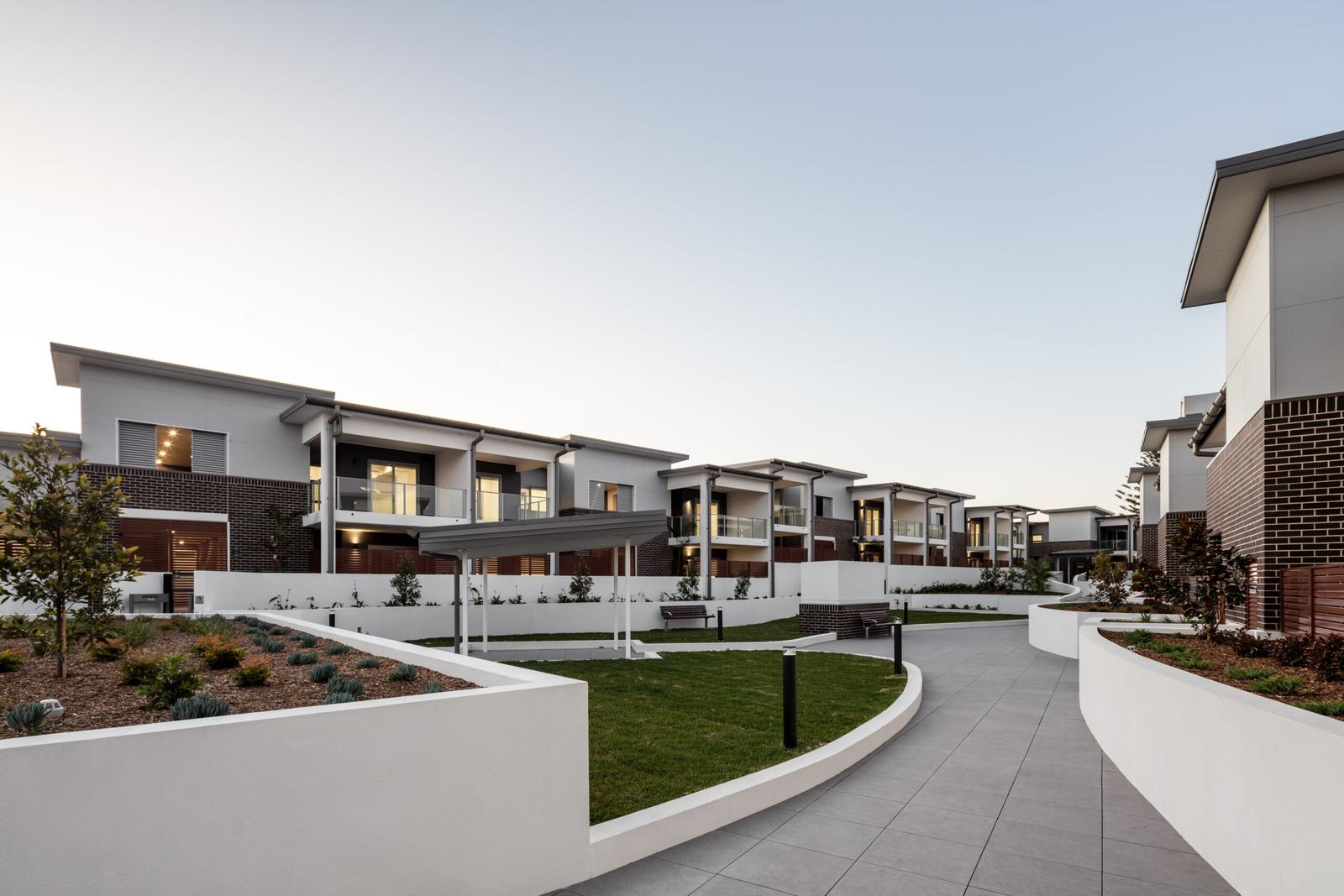
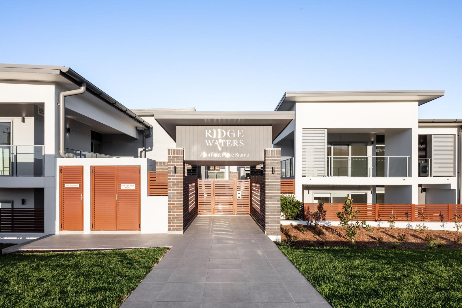
Surfleet Place is a short residential street off South Kiama Drive, surrounded by houses. Our photos show what you get on arrival: a gated pedestrian entrance with the Ridge Waters name on it, buildings that face a shared, landscaped lawn, and a central path between the rows with low path lights. Each apartment has garage parking for two cars, so the car is off the street.
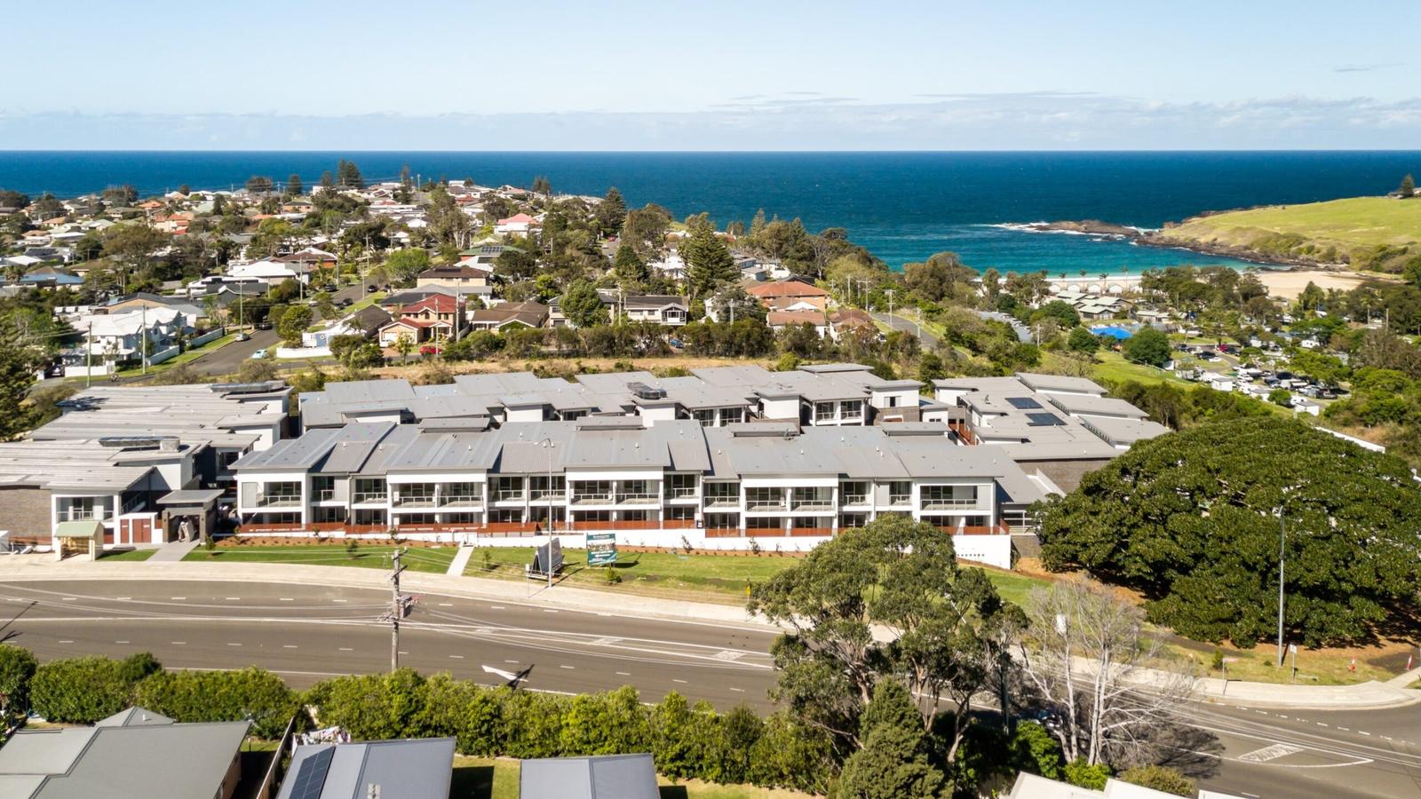
From the air you can see how the site sits on the ridge: houses all around, a band of trees and bush along one side, and the ocean in view to the east. It is a neighbourhood of homes rather than shops and bars, so evenings are quiet and the walk to the beach runs through residential streets.
Match the location to the way you live
- Families: Kiama High School is a 20-minute walk and Kiama Public School a 4-minute drive. Easts Beach, patrolled by council lifeguards over the Christmas school holidays, is 15 minutes on foot. See family accommodation in Kiama.
- Downsizers: the community health centre is a 14-minute walk, town is a 3-minute drive, and garage parking for two cars keeps things simple. The walks along the coast start a short stroll away.
- Commuters: the highway is a minute or two south and the northbound motorway about 4 minutes away. Wollongong is about 35 minutes by car, and the station is a 3-minute drive. See stays for work in Kiama.
- Holiday guests: the beaches are walkable, the Blowhole is 35 minutes on foot, and each apartment sleeps six with a full kitchen and laundry. Most of our apartments take pets on request. See our three-bedroom apartments in Kiama.
Take the next step to stay, rent or own
If the location suits you, here is where to go next.
- Stay a few nights: see the apartments and check availability and book. Check-in is from 3pm and check-out is by 10am.
- Rent long term: tell us what you need on the long-term rentals page. NSW Fair Trading explains your rights and responsibilities as a renter.
- Own here: sales are handled by St Trinity Property Group. Walk through the 3D floor plans, then register interest on own in Kiama. Before you buy, read NSW Fair Trading's guide to buying property and check planning information on the NSW Planning Portal.
This guide describes the location only. It is not financial, legal or tax advice. Before you buy or sign a lease, get independent legal and financial advice.
Quick answers
Where is Kiama Ridge Waters?
Kiama Ridge Waters is at 2 Surfleet Place, Kiama NSW 2533, off South Kiama Drive on the south side of town. It sits on a ridge between the hills and the coast. Easts Beach is a 15-minute walk, and the town centre is about 27 minutes on foot.
Is Kiama Ridge Waters on the beach?
No. It is a short walk from the beach rather than on it. Easts Beach is 1.3 km away, about 15 minutes on foot, and Kendalls Beach is 16 minutes. The Little Blowhole is a 20-minute walk.
How far is Kiama Ridge Waters from Kiama station?
Kiama station is about a 27-minute walk (2.2 km) or a 3-minute drive (2.3 km). Intercity South Coast Line trains run from Sydney to Kiama about every hour. For Bomaderry (Nowra), change at Kiama. Check current times on the Transport NSW trip planner before you travel.
Which schools are close to Surfleet Place, Kiama?
Kiama High School on Saddleback Mountain Road is a 20-minute walk (1.4 km). Kiama Public School on Bong Bong Street is a 4-minute drive or 35-minute walk. Enrolment depends on each school's local area, so check the address with the NSW Department of Education School Finder.
Where is the nearest hospital emergency department?
The nearest emergency service is Shellharbour Hospital at Mount Warrigal, about 20 minutes (21 km) by car. Wollongong Hospital is about 32 minutes. The health centre on Bonaira Street, a 14-minute walk, offers community clinics only. In an emergency, always call 000.
How long is the drive from Kiama Ridge Waters to Sydney and Wollongong?
Sydney CBD is about 1 hour 45 minutes (134 km) by car, and Wollongong about 35 minutes (44 km). Heading south, you join the Princes Highway a minute or two from the door. Heading north, the motorway is about 4 minutes away through town. Allow extra time in traffic.
Is living near Easts Beach in Kiama quiet?
Surfleet Place is a residential street of homes, not shops or bars, so it is generally quiet in the evenings. Easts Beach is a 15-minute walk through residential streets, and town is a 3-minute drive when you want restaurants, the pub or the Leagues Club.
Sources and useful links
- Visit NSW: Ridgewaters Kiama listing
- Destination Kiama: Getting here
- Transport NSW trip planner
- Kiama High School: Contact us
- Kiama Public School: Contact us
- NSW Department of Education: School Finder
- Illawarra Shoalhaven Local Health District: Kiama Integrated Primary and Community Health Centre
- Illawarra Shoalhaven Local Health District: Shellharbour Hospital
- Visit NSW: Kiama Leagues Club
- Woolworths Kiama store page
- Destination Kiama: Saddleback Mountain
- BeachSafe (Surf Life Saving Australia): Easts Beach
- NSW Fair Trading: Renting
- NSW Fair Trading: Buying and selling property
- Walking and driving times: Valhalla routing on OpenStreetMap data, measured 17 Oct 2026