
Find Kiama maps and guides for every part of your trip
Kiama maps and guides in one place: our interactive map of every place we write about, the 2027 visitor guide flip-book, live tides, the events calendar and the official maps from Destination Kiama and the Council for the Coast Walk and towns.
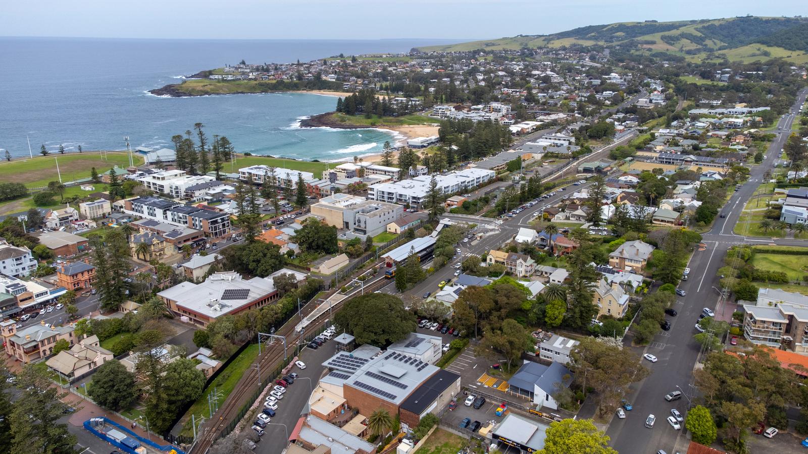
Use our maps and planning guides
Free, made for phones, and checked against official sources.
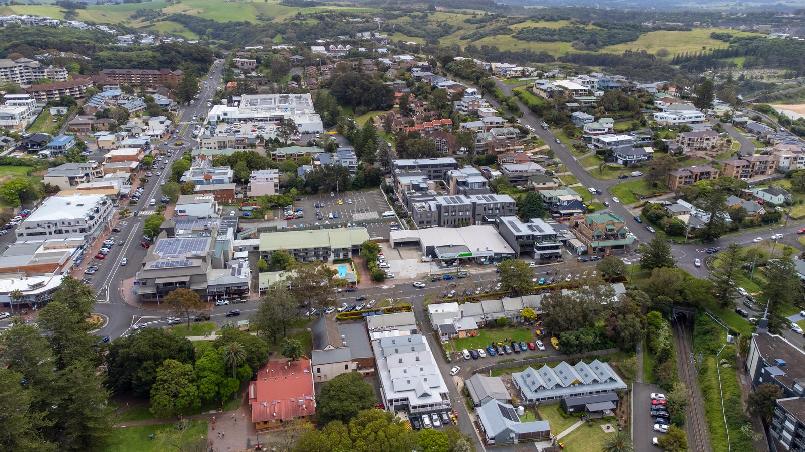
Interactive Kiama map
Beaches, lookouts, cafes and towns as pins, with photos and walking or driving times.
Kiama visitor guide 2027
A 24-page flip-book to read here, print or save as a PDF.
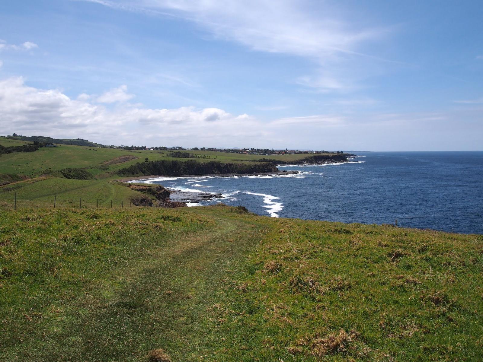
Kiama Coast Walk
Sections, distances, times, dog rules and trains back.
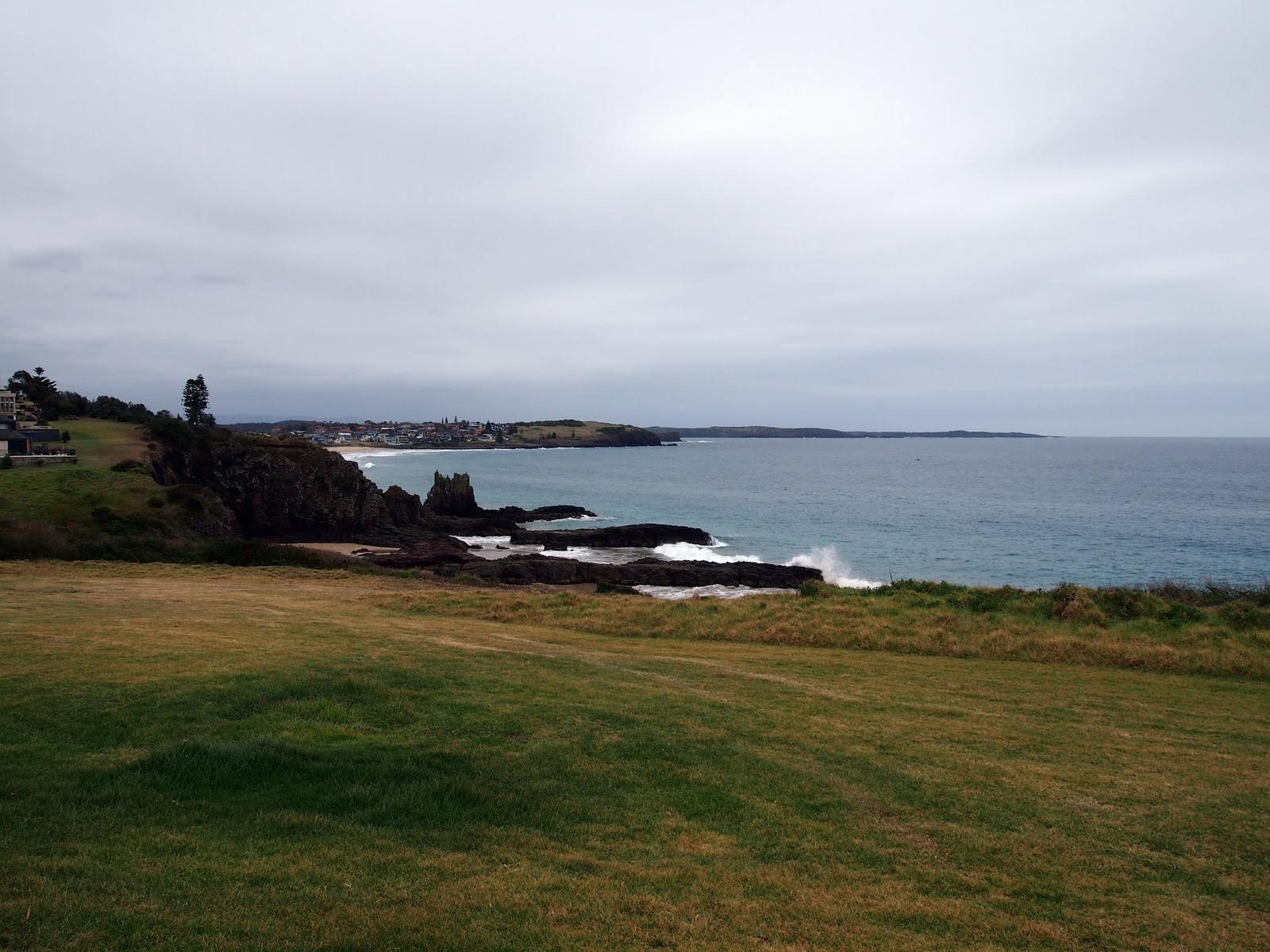
Kiama tides and swell
Swell, the Blowhole call and sunrise times for three days.
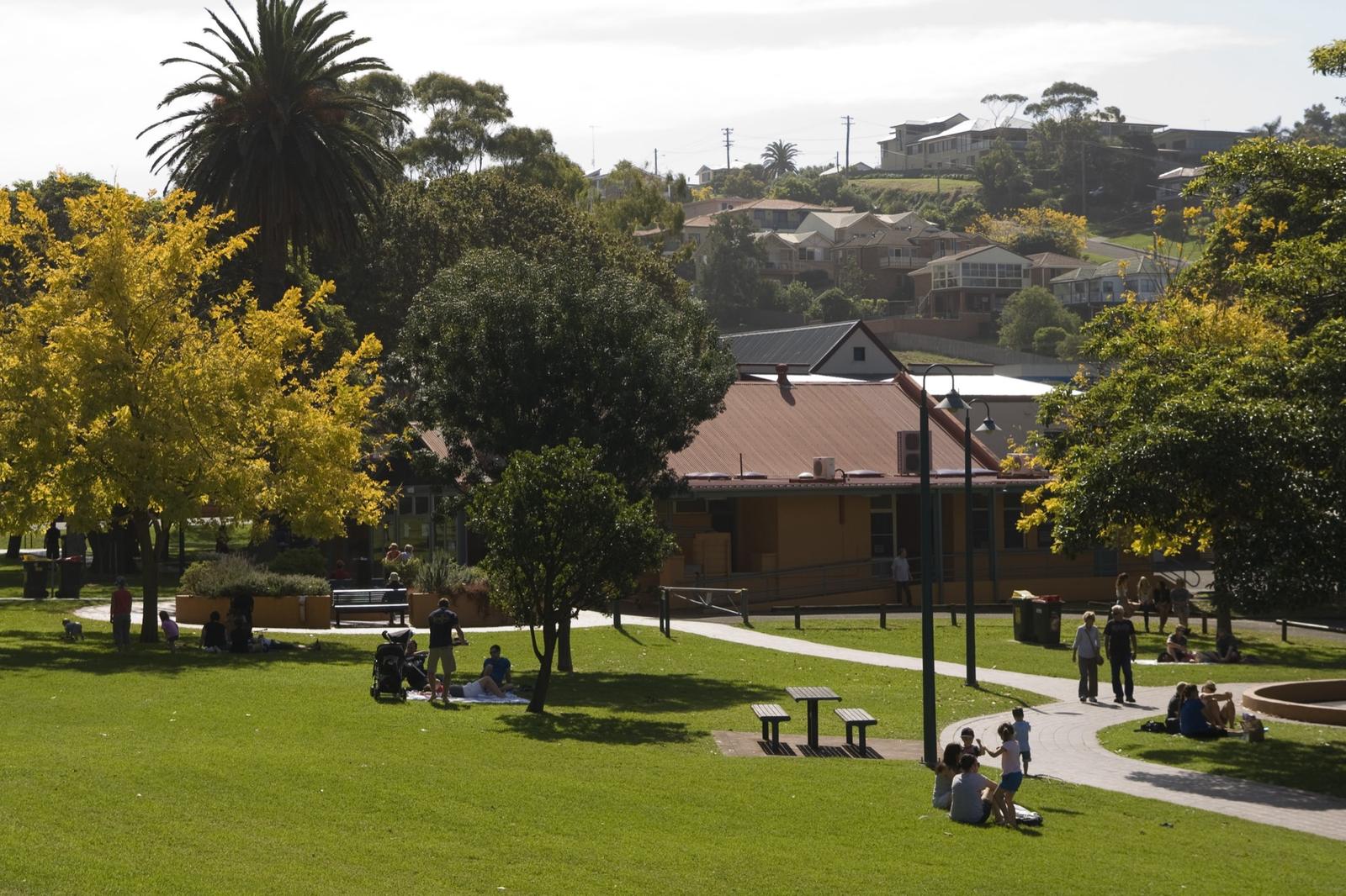
What's on in Kiama
Events by date, town and type, updated every week.
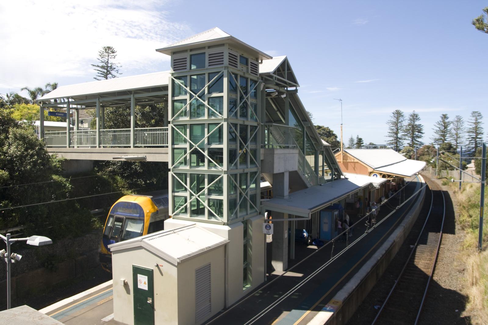
Getting from Sydney to Kiama
Train, car and coach times, fares and parking.
Download the official maps
For printed maps of the towns and the region, use the official sources. Destination Kiama's maps and guides page has downloadable township and regional maps, and the official Kiama Area Visitor Guide. Printed copies are free at the Kiama Visitor Information Centre on Blowhole Point. For walking tracks in the national parks, use the NSW National Parks park pages, and for trains and buses the Transport NSW trip planner.