
Read the Kiama map in four parts
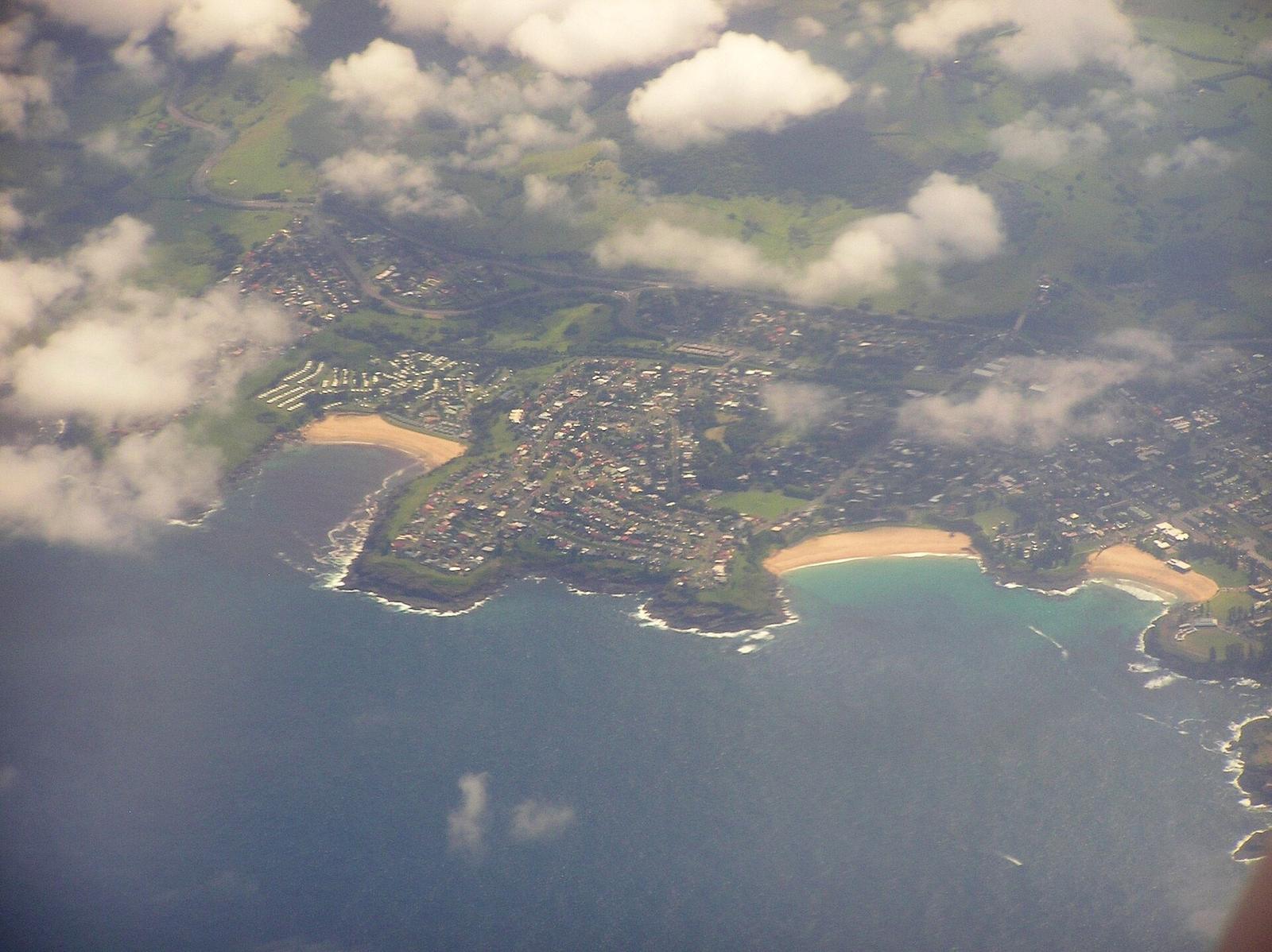
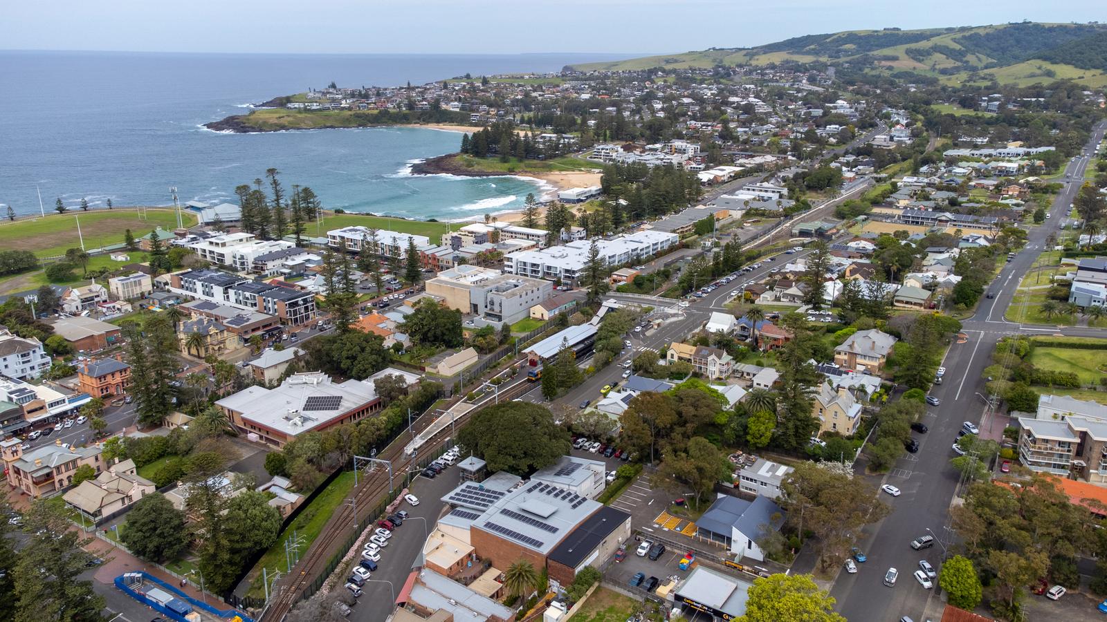
Kiama is compact. Think of the map in four parts: Blowhole Point and the harbour on the headland, the town centre just west of it, a string of beaches running north and south along the coast, and green hills rising to the west.
| Where | Kiama NSW 2533, on the coast south of Wollongong |
|---|---|
| From Sydney | About 1 hour 45 minutes by car, or just over two hours by train, according to Visit NSW |
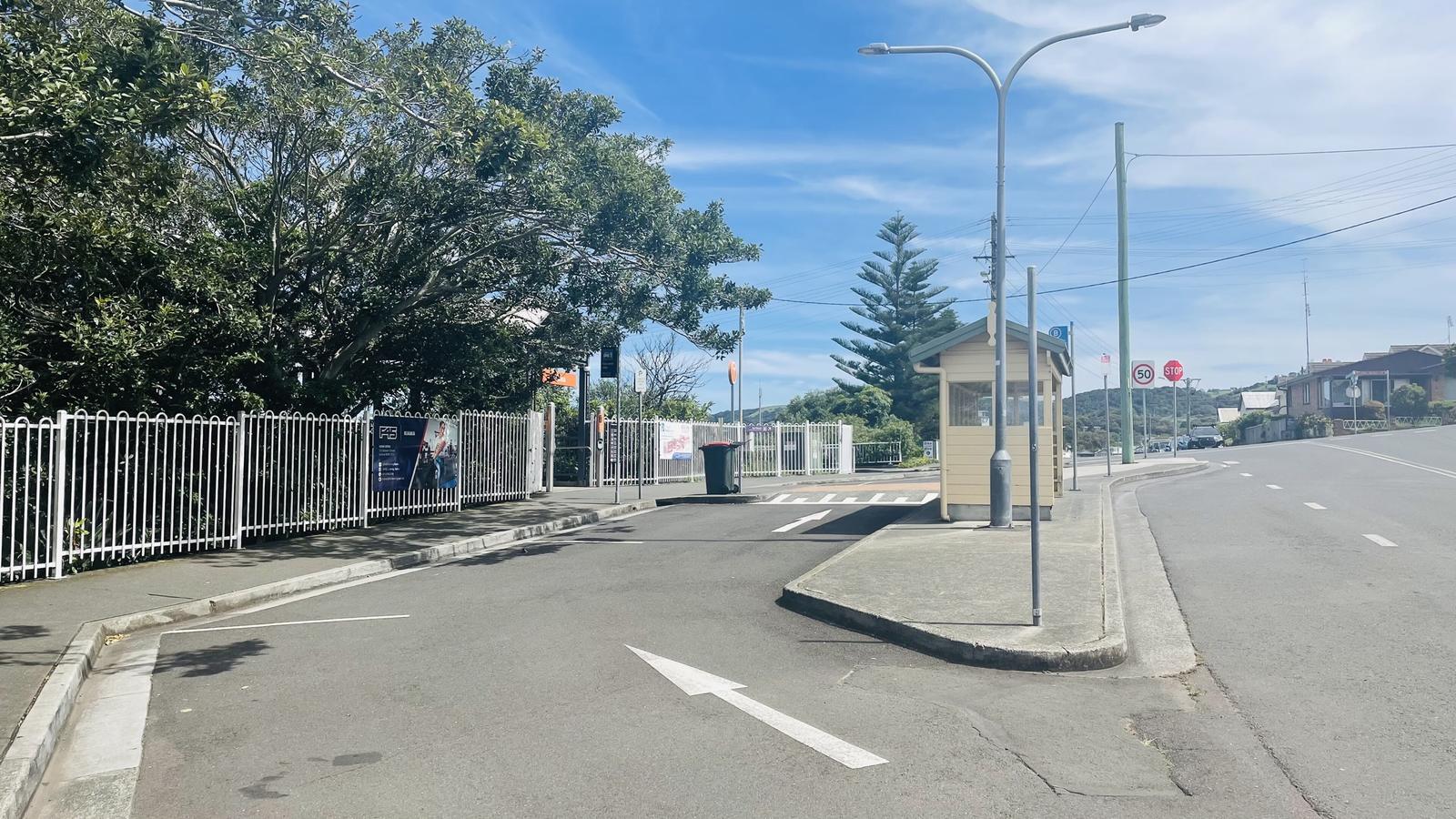
| Train | Kiama station, Railway Parade, on the South Coast Line |
| Free paper maps | Kiama Visitor Information Centre, Blowhole Point Road |
| Coast path | Kiama Coast Walk, about 20 km from Minnamurra to Werri Beach |
| Kiama Ridge Waters | 2 Surfleet Place, south Kiama, 15 minutes' walk from Easts Beach |
Kiama Ridge Waters sits in the south of town, between the town centre and Easts Beach. That puts the quieter southern beaches on your doorstep and Blowhole Point a short drive away.
Check walking and driving times from the apartments
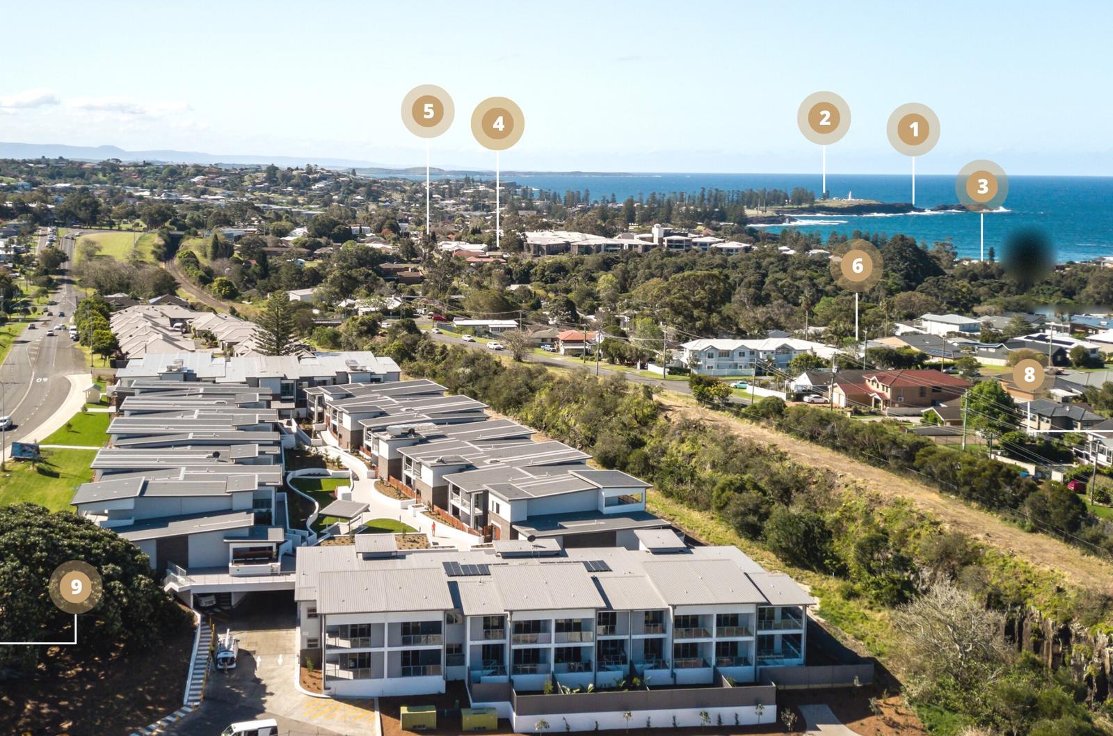
Each time is from 2 Surfleet Place along real streets and paths. Times are rounded and assume an easy walking pace, so allow extra for hills, prams and photo stops.
| Place | Area | Walk | Drive |
|---|---|---|---|
| Easts Beach | South | 15 min (1.3 km) | 3 min |
| Kendalls Beach | South | 16 min (1.4 km) | 3 min |
| Little Blowhole | South | 20 min (1.6 km) | 3 min |
| Surf Beach | Town | 24 min (2 km) | 3 min |
| Kiama station and town centre | Town | 27 min (2.2 km) | 4 min |
| Black Beach and Continental Pool | Harbour | 31 min (2.6 km) | 4 min |
| Kiama Harbour | Harbour | 33 min (2.7 km) | 5 min |
| Hindmarsh Park | Town | 34 min (2.9 km) | 5 min |
| Visitor Information Centre | Blowhole Point | 34 min (2.9 km) | 4 min |
| Kiama Blowhole and Lighthouse | Blowhole Point | 35 min (2.9 km) | 5 min |
| Bombo Beach, south end | North | 43 min (3.6 km) | 4 min |
| Cathedral Rocks | North | Over an hour | 9 min (7.6 km) |
| Saddleback Mountain Lookout | Hinterland | Drive | 9 min (6.8 km) |
| Gerringong | South coast | Drive | 10 min (8 km) |
| Jamberoo village | Hinterland | Drive | 14 min (11 km) |
| Minnamurra Rainforest | Hinterland | Drive | 25 min (18 km) |
If you are short on time, walk south to the beaches and drive to Blowhole Point, where the car park is close to everything. Parking fills on sunny weekends, so read our Kiama parking guide first.
Start at Blowhole Point and the harbour
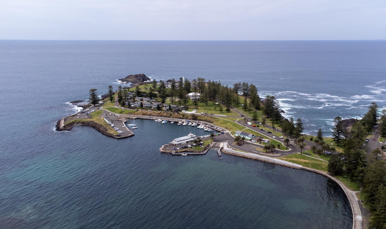
Blowhole Point is the rocky headland that pokes out east of the town centre. Most of Kiama's postcard sights sit on it, close enough to see on one walk.
- Kiama Blowhole: at the tip of the point, free and open around the clock. It sprays highest in a south-east swell. See our Kiama Blowhole guide.
- Kiama Lighthouse: right beside the Blowhole. Read about the Kiama Lighthouse.
- Kiama Visitor Information Centre: on Blowhole Point Road, with free maps and brochures. Kiama Council lists it as open daily, 10am to 4pm, except Christmas Day. Check before you go.
- Blowhole Point rock pool: on the north side of the point, with a natural rock floor.
- Kiama Harbour: the stone-walled Robertson Basin on the town side of the point, with fishing boats and the boat ramp. See our Kiama Harbour guide.
- Black Beach: just north of the harbour, home to the 50-metre Continental Pool. See Kiama's rock pools.
Walk the town centre on Terralong and Manning streets
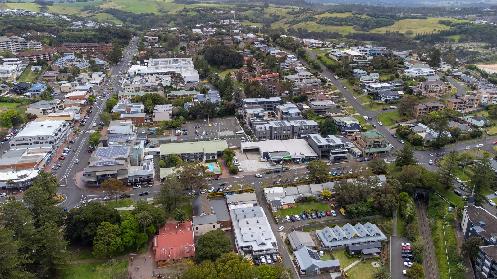
The town centre sits between the harbour and Surf Beach, a few minutes' walk from both. Two streets do most of the work. Terralong Street runs west from the harbour and holds most of the shops and cafes. Manning Street crosses it near the station and runs south past Surf Beach.
Hindmarsh Park at 107 Terralong Street is the town park, with a playground, barbecues, shade, toilets and a stage, according to Kiama Council. The council offices are at 11 Manning Street. The Kiama Farmers' Market runs every Wednesday at Coronation Park on Manning Street, beside Surf Beach: 3pm to 6pm in daylight saving time, 2pm to 5pm the rest of the year. In wet weather it moves to Kiama Uniting Church.
Kiama station is on Railway Parade, a short walk from both streets. For coffee and meals near these streets, see Kiama cafes and where to eat in Kiama.
Head south for the beaches closest to the apartments
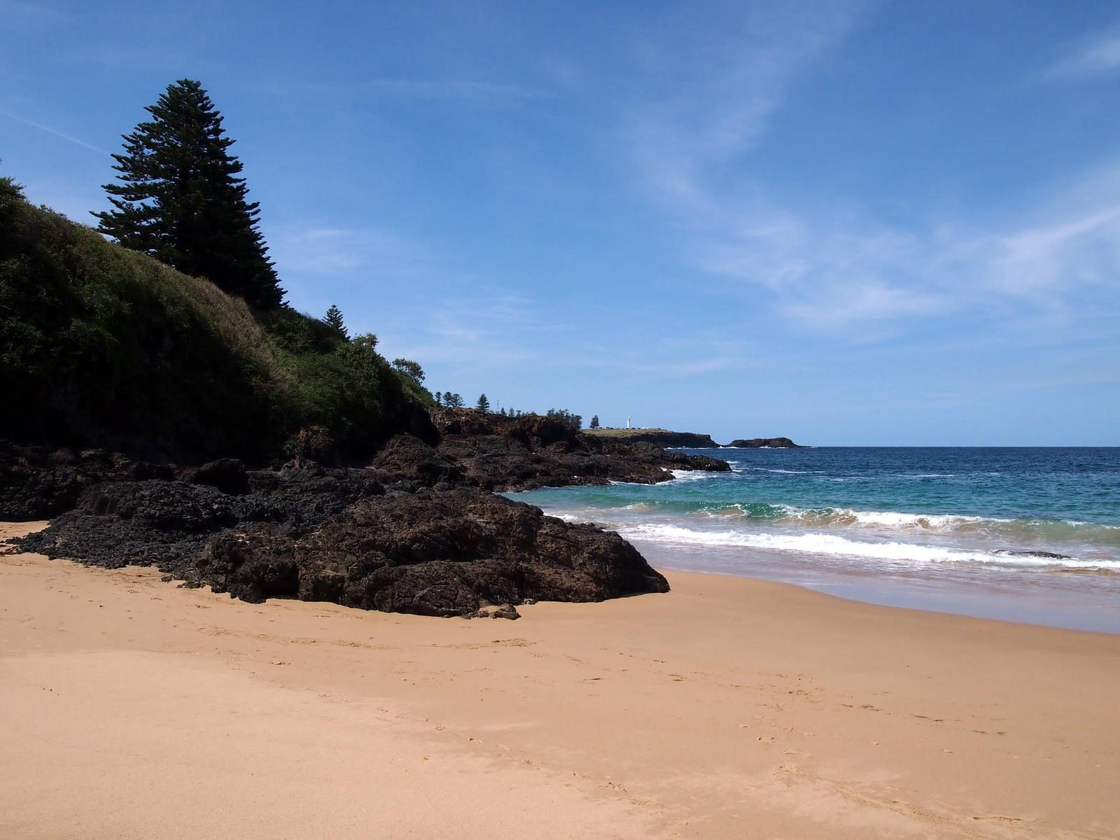
South of the town centre the coast breaks into small beaches between basalt headlands. This is the quieter end of Kiama, and where Kiama Ridge Waters sits.
- Surf Beach: right below Manning Street, with a park and playground. Read our Kiama surf guide for the breaks.
- Kendalls Beach: Visit NSW describes shallow water and gentle waves.
- Little Blowhole: off Tingira Crescent, and it works hardest in a north-east swell. See our Little Blowhole guide.
- Easts Beach: the southernmost Kiama beach, sheltered between two headlands. See Easts Beach.
Beaches are only patrolled at certain times. Check Beachsafe before you swim, and browse all Kiama beaches.
Go north to Bombo and Cathedral Rocks
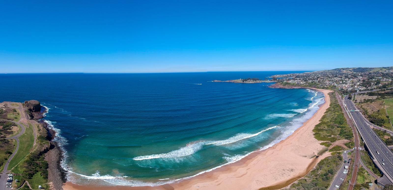
North of Black Beach the map opens into longer stretches of sand. Bombo Beach is over a kilometre long and popular with surfers and dog walkers, according to Visit NSW. Past it, Bombo Headland has the old quarry and its columns of basalt rock. Read our Bombo guide.
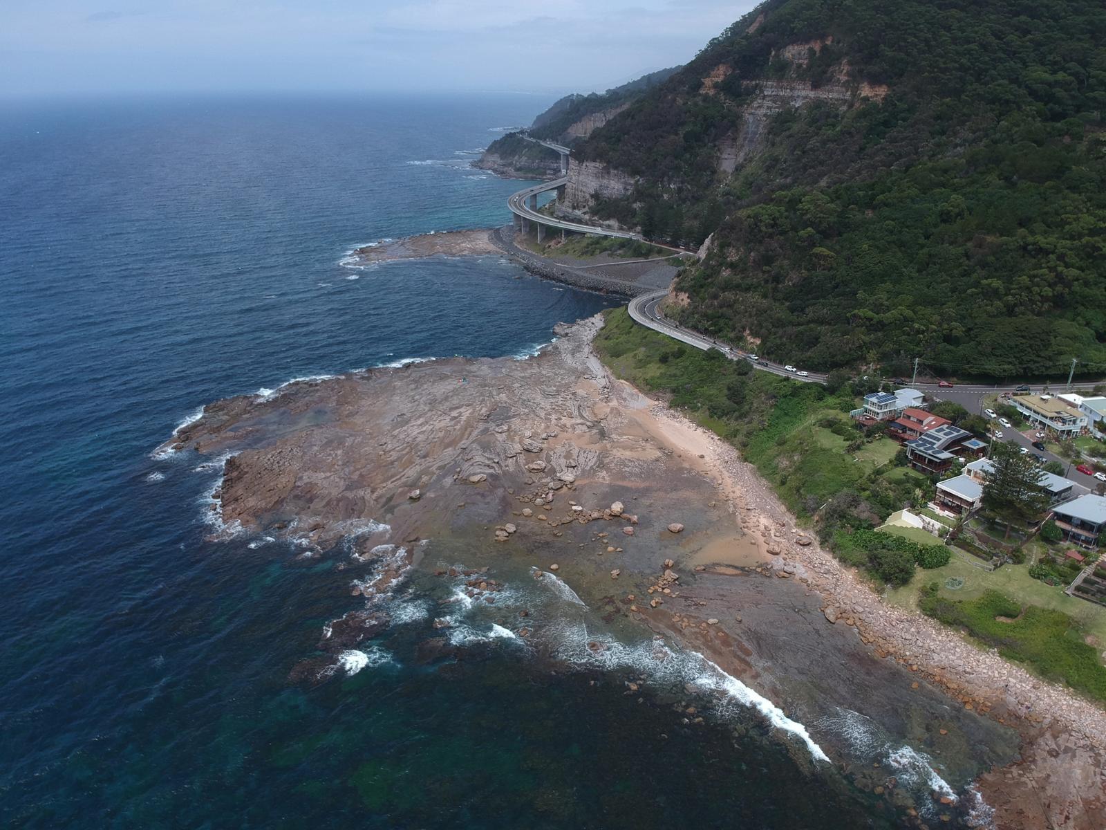
Further on, in Kiama Downs, Cathedral Rocks rise off the end of Jones Beach. They are about 9 minutes' drive from the apartments. See Cathedral Rocks and Kiama Downs. Keep going and you reach Minnamurra, where the Kiama Coast Walk begins.
Drive west into the hinterland
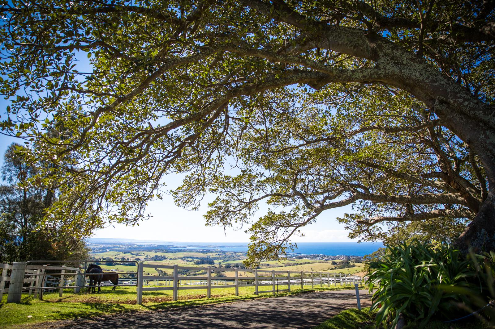
Turn your back on the sea and the map fills with farmland, ridges and rainforest. You will want a car.
- Saddleback Mountain Lookout: about 9 minutes' drive, with views along the coast. See Saddleback Mountain.
- Jamberoo: a small village in the valley about 14 minutes away. Visit NSW notes a lookout over Kiama nearby. See Jamberoo.
- Minnamurra Rainforest: in Budderoo National Park, about 25 minutes' drive. See Minnamurra Rainforest.
Down the coast, Gerringong is about 10 minutes south. Our day trips from Kiama guide covers the wider region.
Trace the Kiama Coast Walk on the map
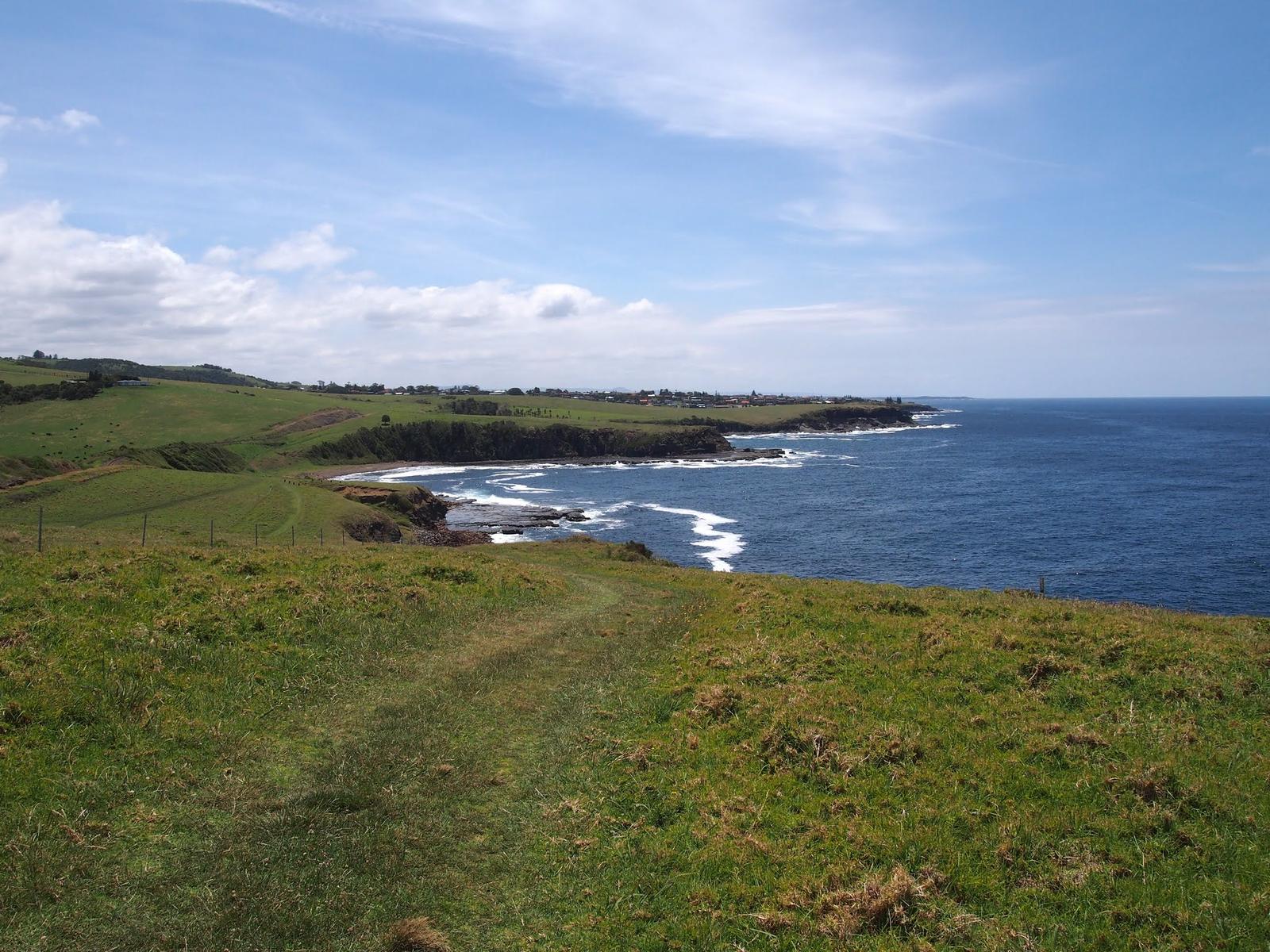
The Kiama Coast Walk links most of the places above. It runs about 20 km from Minnamurra in the north to Werri Beach in Gerringong, mixing sealed paths, grass tracks and beaches, according to Visit NSW. The walk is split into three sections, and the Blowhole marks the start of the middle one.
From the apartments, you can join it at Easts Beach or the Little Blowhole without getting in the car. Walk north to reach town and Blowhole Point, or south towards Gerringong. Read our Kiama Coast Walk guide for each section.
Pick up the official Kiama maps
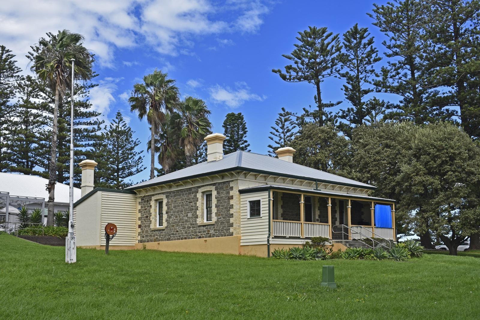
Destination Kiama publishes free maps and guides you can download from its Maps + Guides page, or pick up in print at the Visitor Information Centre on Blowhole Point. They include:
- Kiama Townships Map: Kiama, Jamberoo, Gerringong and Gerroa.
- Regional Map: the Kiama town centre and the wider region from Windang to Fitzroy Falls and Berry.
- Kiama Mobility Map: public toilets and seats in the town centre, with useful services on the back.
- Kiama Coast Walk map: a pocket guide with directions for each section.
- Kiama Walks Guide: nature walks from Carrington Falls to Seven Mile Beach National Park.
- Kiama Visitor Guide: attractions, dining, shopping and accommodation.
Get around Kiama without a car
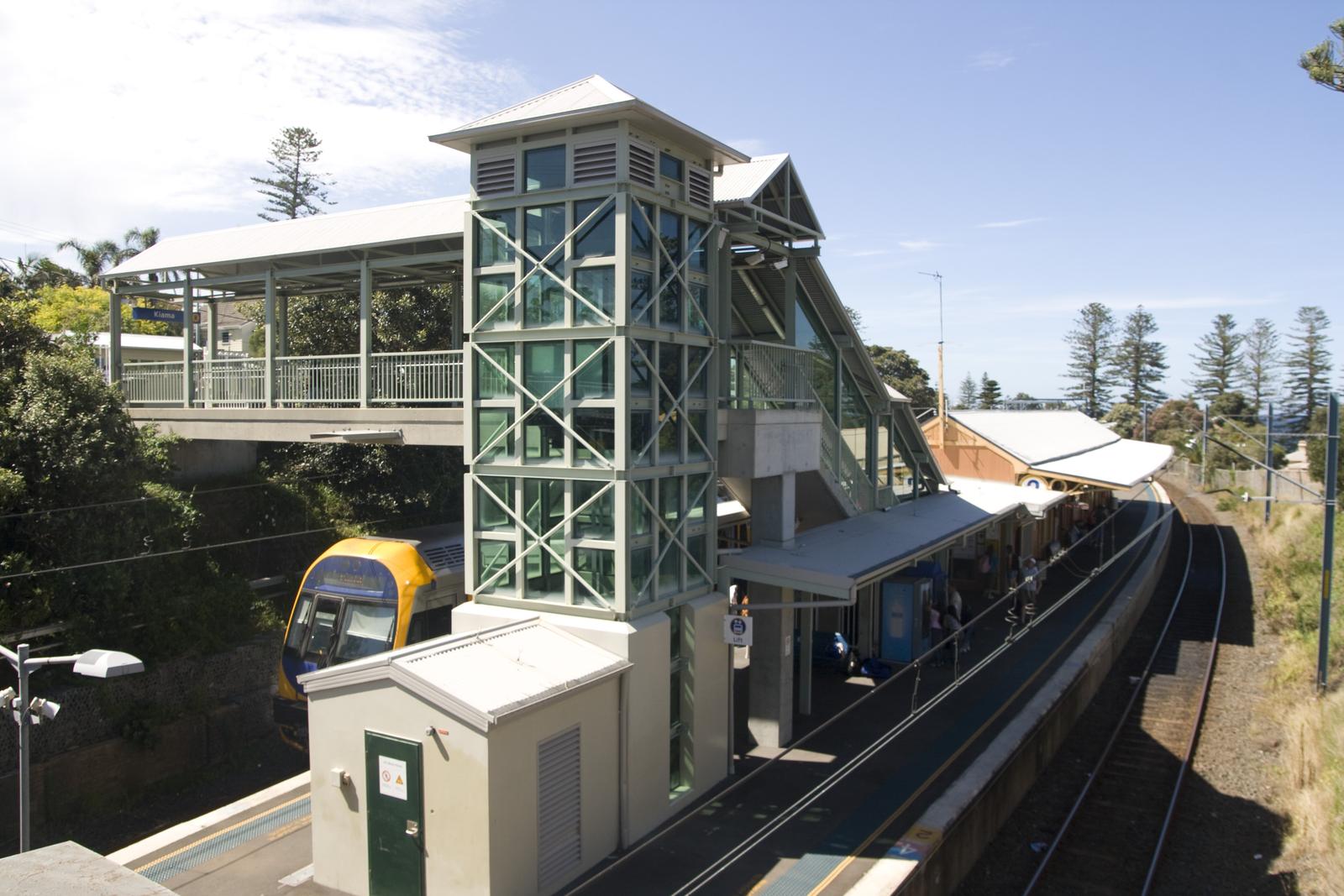
Destination Kiama says trains arrive and depart Kiama hourly. Kiama Coachlines runs local buses to Jamberoo, Gerringong and Gerroa on weekdays only, and Premier Illawarra links Kiama with Kiama Downs, Shellharbour and Wollongong. Plan trips on Transport NSW. For the trip down from the city, read Sydney to Kiama.
Stay in south Kiama, close to the beaches
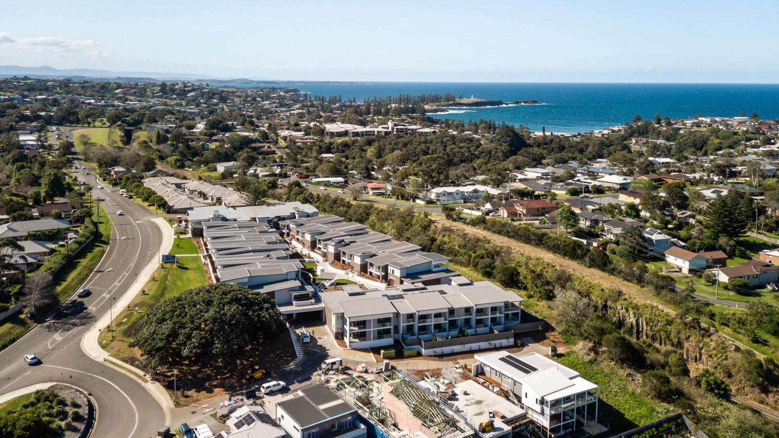
Base yourself at Kiama Ridge Waters and you can walk to a southern beach every morning. Easts Beach is 15 minutes on foot and the Little Blowhole 20 minutes, with town about 27 minutes' walk away. Each of our three-bedroom apartments at 2 Surfleet Place sleeps six, with two bathrooms, a full kitchen, a laundry and garage parking for two cars.
Most of our apartments welcome pets on request ($200 cleaning fee), and groups can book several together. See our three-bedroom apartments in Kiama, group accommodation or check availability.
Quick answers
Where can I get a map of Kiama?
Destination Kiama offers free downloadable maps, including the Kiama Townships Map, a Regional Map, a Mobility Map and a Kiama Coast Walk map. Printed copies are at the Kiama Visitor Information Centre on Blowhole Point Road, which Kiama Council lists as open daily, 10am to 4pm. Check before you go.
Is Kiama easy to walk around?
Yes, the centre is compact. The harbour, Terralong Street, Kiama station and Surf Beach are all a few minutes apart on foot. From Kiama Ridge Waters, the town centre is about 27 minutes' walk and Blowhole Point about 35 minutes, so many visitors walk one way and drive back.
How far is the Kiama Blowhole from the town centre?
Not far. The Blowhole sits at the tip of Blowhole Point, just east of the harbour and town centre, with the Lighthouse and Visitor Information Centre beside it. From Kiama Ridge Waters it is about a 35-minute walk (2.9 km) or a 5-minute drive. Read the Blowhole guide.
Which Kiama beaches are closest to Kiama Ridge Waters?
The southern beaches. Easts Beach is about 15 minutes' walk (1.3 km), Kendalls Beach about 16 minutes and Surf Beach about 24 minutes. The Little Blowhole is about 20 minutes on foot. All are about 3 minutes by car if you would rather drive.
Where is the main street in Kiama?
Terralong Street is the main shopping street, running west from the harbour through the town centre. Manning Street crosses it near the station and runs south past Surf Beach. Hindmarsh Park sits at 107 Terralong Street, and the Wednesday farmers' market is at Coronation Park on Manning Street.
Can I get around Kiama without a car?
Mostly, yes. South Coast Line trains run hourly between Sydney and Kiama, Kiama Coachlines runs weekday buses to Jamberoo, Gerringong and Gerroa, and Premier Illawarra links Kiama Downs and Shellharbour. For Saddleback Mountain or Minnamurra Rainforest, a car makes life much easier.
Sources and useful links
- Destination Kiama: Maps + Guides
- Destination Kiama: Getting here and getting around
- Visit NSW: Kiama
- Kiama Council: Visitor Information Centre
- Kiama Council: Hindmarsh Park
- Kiama Council: Plans of Management (council office address)
- Destination Kiama: Kiama Farmers' Market
- Destination Kiama: Blowholes
- Kiama Council: Blowhole Point rock pool
- Visit NSW: Kiama Coast Walk
- Beachsafe: Easts Beach
- Destination Kiama: Kiama Harbour
- Kiama Council: Bombo Headland
- Kiama Council: Saddleback Mountain
- NSW National Parks: Minnamurra Rainforest Centre
- Transport NSW trip planner
- OpenStreetMap (routes measured with FOSSGIS routing)