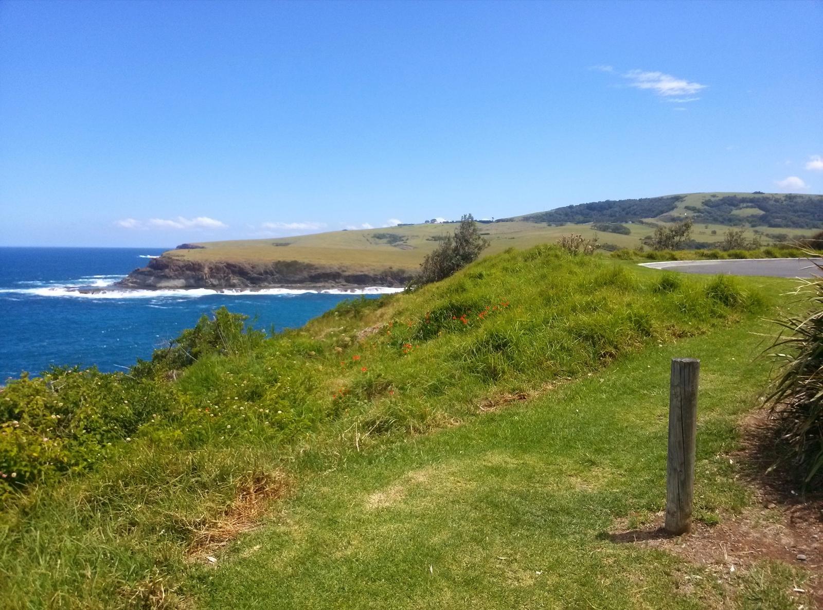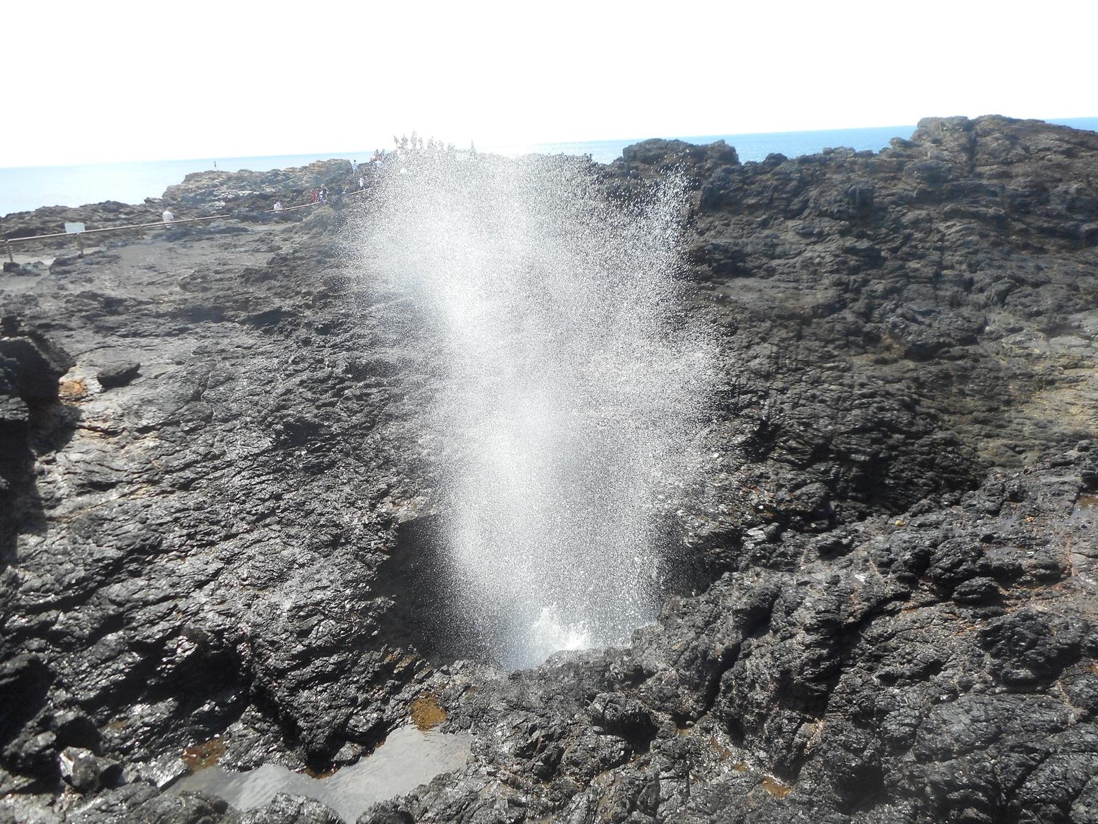

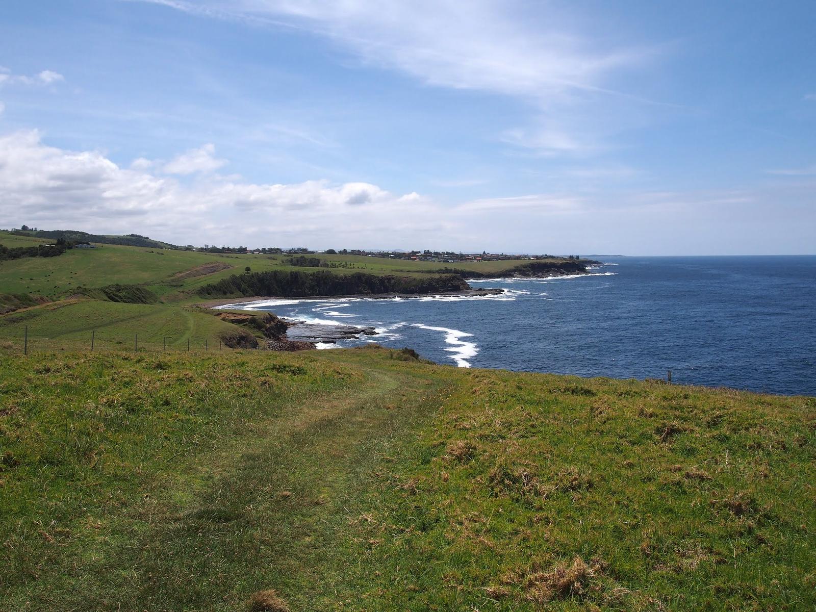
Know the Kiama Coast Walk at a glance
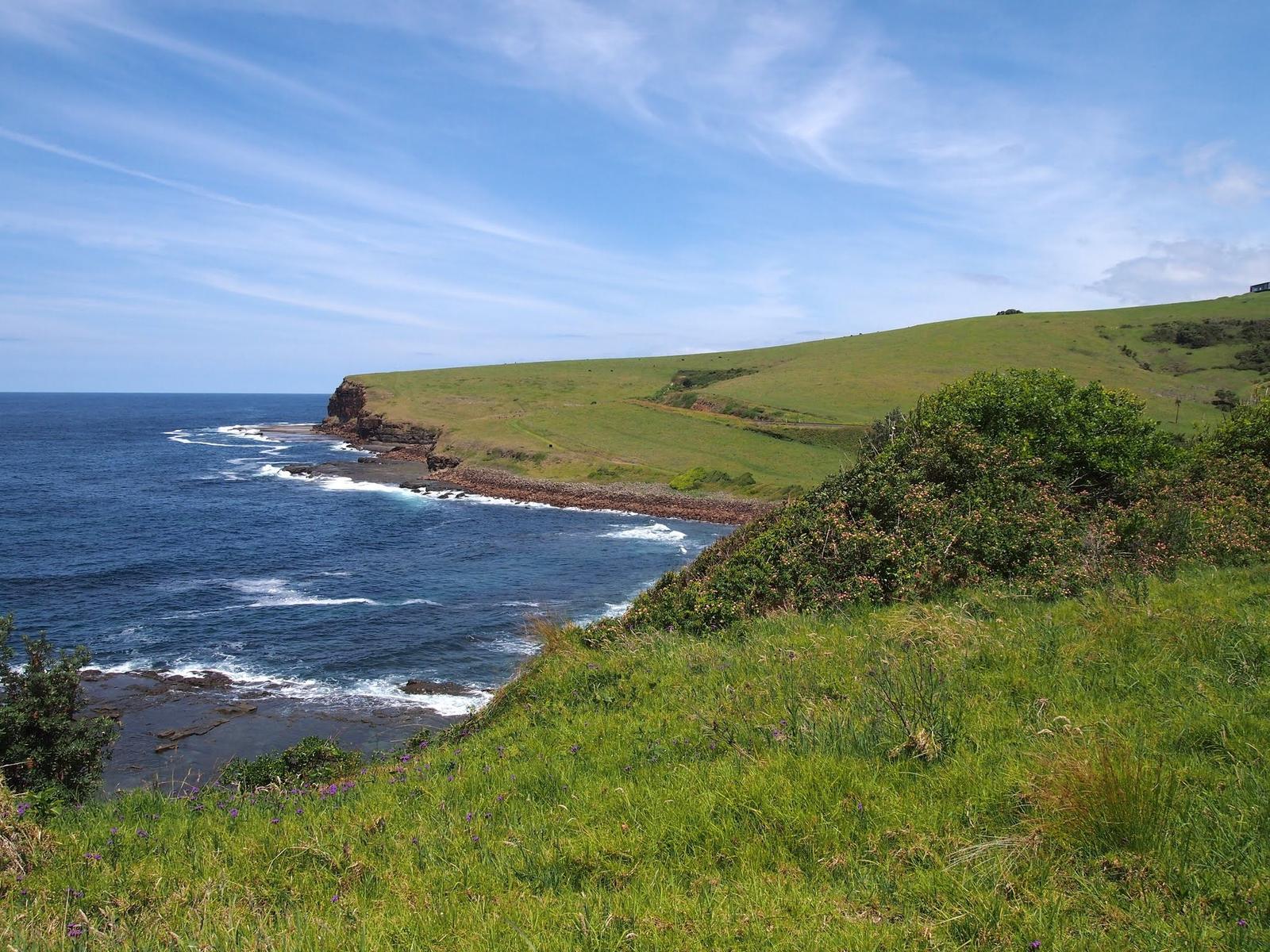
The Kiama Coast Walk is a chain of shorter walks and shared paths that follows the coast south from the mouth of the Minnamurra River, through Kiama town, to Werri Beach at Gerringong. It mixes sealed paths, grassy tracks and beach walking. Destination Kiama describes the hills as gentle enough for most fitness levels, although the southern section has plenty of climbs.
| Distance | About 20 km one way (Visit NSW also quotes 22 km) |
|---|---|
| Time | 6 to 7 hours end to end |
| Grade | Destination Kiama rates the North section medium and the Mid and South sections medium/hard |
| Surface | Sealed paths, grass tracks and sand; no formed track on the southern clifftops |
| Start | Minnamurra station and the Minnamurra River mouth |
| Finish | Werri Beach, Gerringong (Gerringong station is 1.4 km up Belinda Street) |
| Dogs | On leash for most of the walk, not on some beach sections |
| Facilities | Toilets, drinking fountains and barbecues at many points along the walk; no toilets between Loves Bay and Werri Lagoon |
| Cost | Free |
Sources differ on a few numbers. Destination Kiama gives the Mid section as 6 km and Visit NSW gives 5 km, so allow for either.
Choose the section that suits your day
| Section | Route | Distance | Time | Grade | Good for |
|---|---|---|---|---|---|
| North | Minnamurra River to Kiama Blowhole | 8.5 km | 3 hours | Medium | Rock formations, beaches, a swim |
| Mid | Kiama Blowhole to Loves Bay | 5 to 6 km | 1.5 hours | Medium/hard | Town beaches, the Little Blowhole, a shorter walk |
| South | Loves Bay to Werri Beach, Gerringong | 6 km | 2 hours | Medium/hard | Quiet clifftops, railway tunnels, a bigger walk |
Times are one way at a steady pace, as given by Destination Kiama. Add time for swims, photos and lunch.
Walk the North section from Minnamurra to the Blowhole
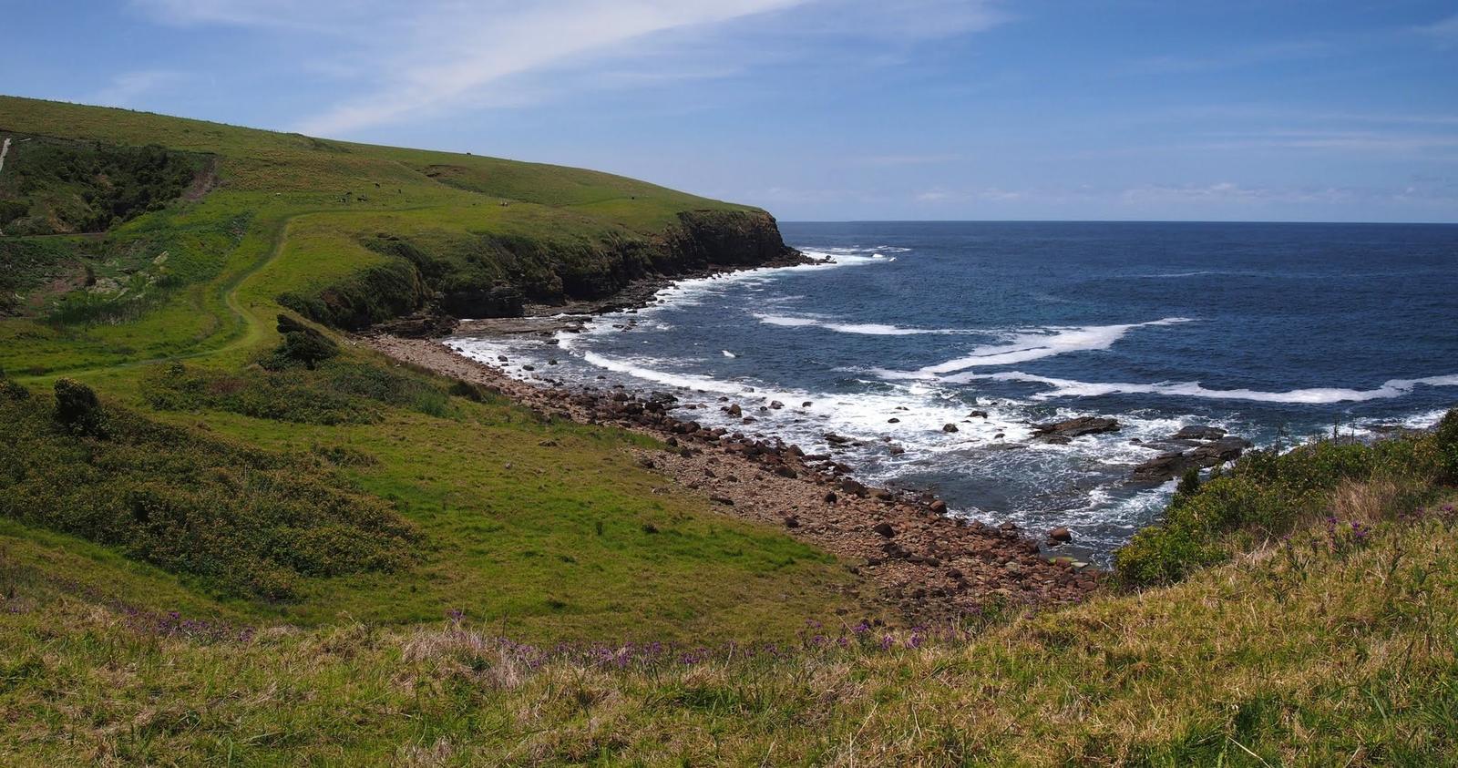
Start at Minnamurra station, where a Coast Walk map board helps you get your bearings, then head to James Oates Reserve and the river mouth. The Minnamurra whale-watching platform on the headland looks north over Mystics and Killalea beaches and out to Rangoon Island, named after a shipwreck in 1870.
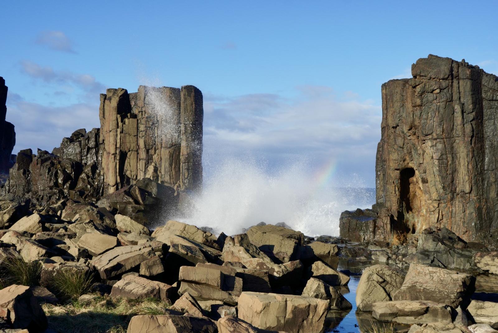
Markers lead you down the long curve of Jones Beach to Cathedral Rocks and the Boneyard, a secluded spot for a rest. Next come the basalt columns of Bombo Headland. North Bombo Beach, popular with surfers all year round, gives you your first view of Kiama.
At the southern end of Bombo Beach you can turn west under the highway towards the Spring Creek wetland, or keep going along the beach. The section ends at Kiama Harbour, the Kiama Blowhole and Kiama Lighthouse on Blowhole Point. Read more in our guides to Cathedral Rocks and Bombo.
Walk the Mid section from the Blowhole to Loves Bay
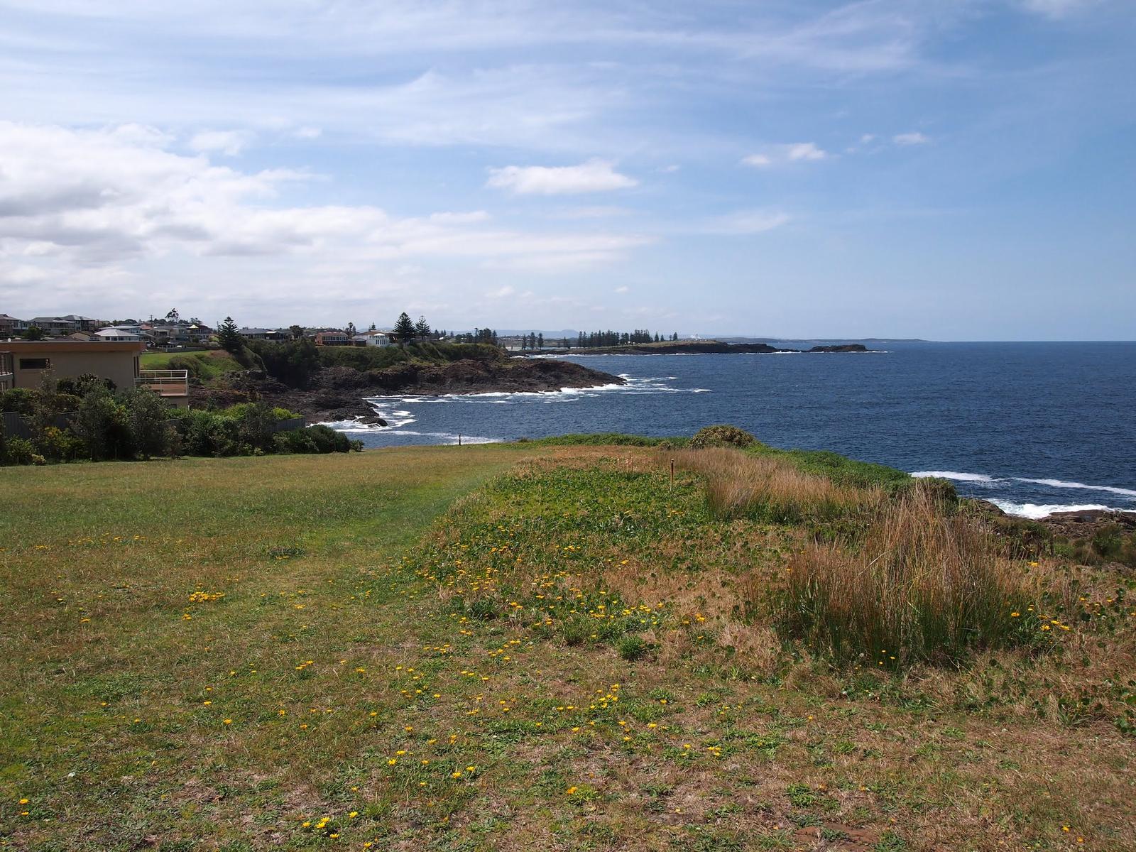
This is the town stretch, a string of waterfront reserves joined by headlands. The Kiama Visitor Information Centre and the Pilot's Cottage are both at Blowhole Point, where the section starts.
From Storm Bay the path passes the Showground and drops to Surf Beach, patrolled from October to April. Around the headland is the golden sand of Kendalls Beach, with steps at its southern end leading up a grassy track to the Little Blowhole on Tingira Crescent. It performs in a north-easterly, which is more common than the south-easterly swell that suits the main Blowhole.
The path carries on over grass to sheltered Easts Beach, then climbs to Kiama Heights and around the end of Attunga Avenue to Loves Bay. Look back from the headland for views over Kiama and the lighthouse. It is the shortest of the three sections and stays close to town and patrolled Surf Beach, though there are steps and headland climbs. See Kiama beaches and rock pools and ocean pools for where to cool off.
Walk the South section from Loves Bay to Gerringong
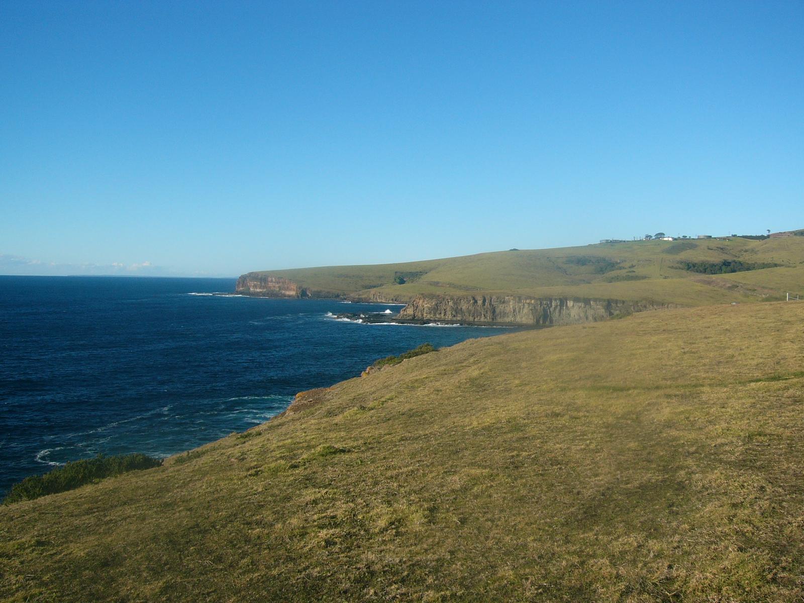
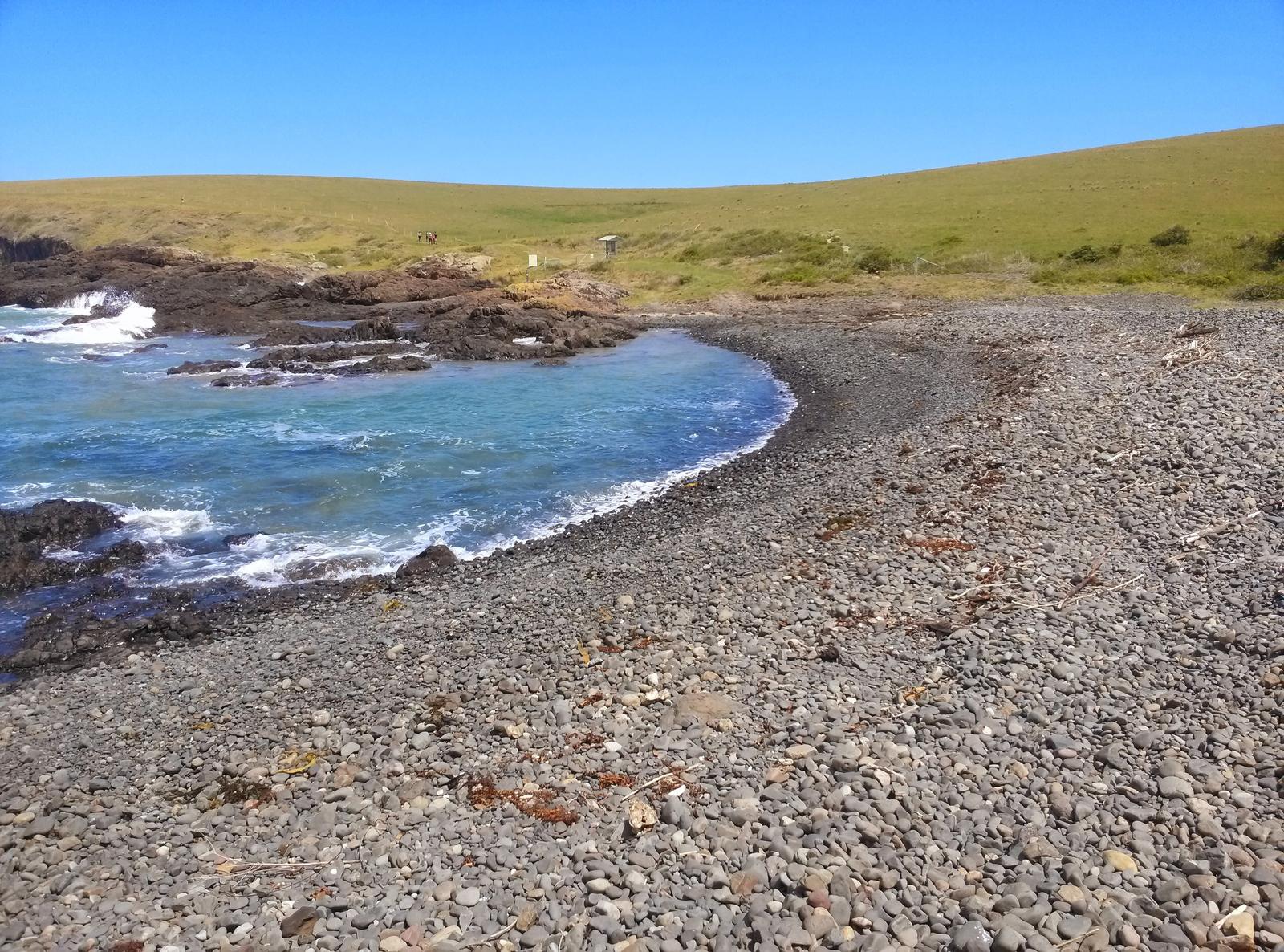
The South section is the quietest and the most exposed. It zig-zags over coastal farmland from Kiama Heights to Werri Beach, with the South Coast railway dipping in and out of tunnels cut more than 120 years ago. Kilometre markers along the way share the history and geology of the area.
Kiama Council's heritage plaque for the walk describes the Werri Lagoon to Loves Bay walk as 12 km return, about 5 hours and moderate (Class 4). There is no formed track, no toilets and the creek water is not safe to drink. The clifftops are steep and very exposed to strong winds, so keep children close at all times.
The track drops through rocky bays to tidal Werri Lagoon, then on to Werri Beach. From there, follow Belinda Street 1.4 km to Gerringong station past cafes and shops, or carry on over the headland to Boat Harbour. If you still have legs, Gerroa and the start of Seven Mile Beach are about 45 minutes further on foot.
Check Werri Lagoon before you set off
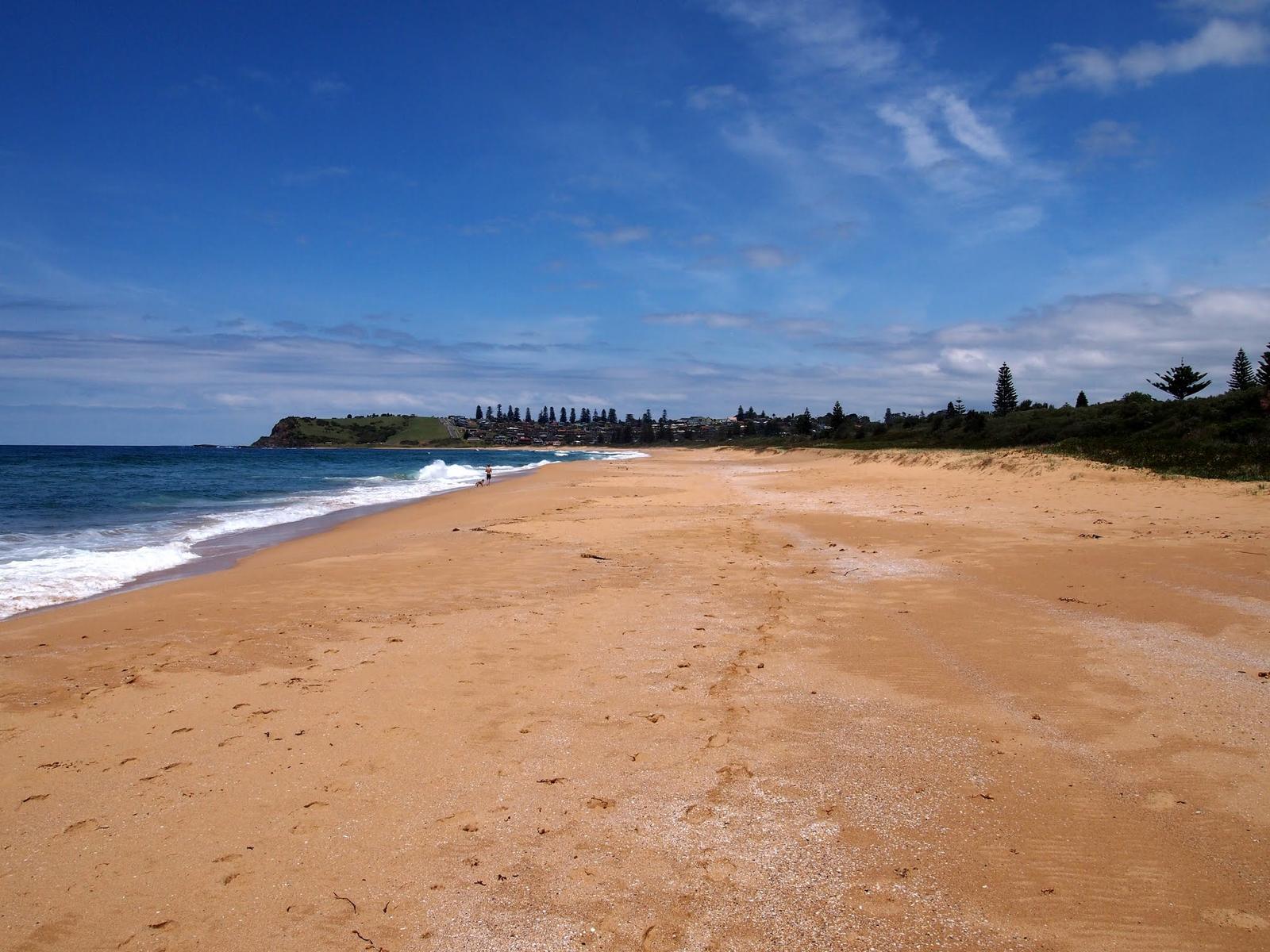
After heavy rain, Werri Lagoon can open to the ocean. When it does, the Coast Walk is closed at the lagoon and you can't cross to Werri Beach. Phone the Kiama Visitor Information Centre on 1300 654 262 before you start the South section, especially if you are planning to catch the train home from Gerringong.
Kiama Visitor Information Centre
Blowhole Point Road, Kiama
Ask here about Werri Lagoon, conditions and maps. It sits at the start of the Mid section.
WebsiteGoogle MapsDirections: Google Maps · Waze
Get back to the start by train, taxi or the Bowlo
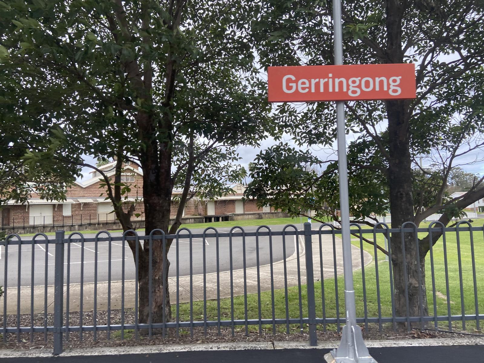
Minnamurra, Kiama and Gerringong are all on the South Coast Line, so you can walk one way and ride back. Check times on Transport NSW or the TripView app before you leave. For a taxi to or from either end, Destination Kiama lists (02) 4237 7505.
Gerringong Bowling Club runs a Walk + Eat + Ride lunch offer: spend at least $20 at the club and they give you a lift back to Kiama. Book on (02) 4234 1414, and check the offer is still running before you go.
If you are walking with a dog or a group, leaving a car at each end is the simplest plan. By car, Minnamurra station is about 12 minutes from Kiama Ridge Waters and Gerringong station about 9 minutes. See Kiama parking for the town stretch.
Gerringong Bowlo
Pacific Avenue, Werri Beach
The Walk + Eat + Ride lunch includes a lift back to Kiama with a $20 minimum spend. Bookings on (02) 4234 1414.
WebsiteGoogle MapsDirections: Google Maps · Waze
Bring your dog on a lead
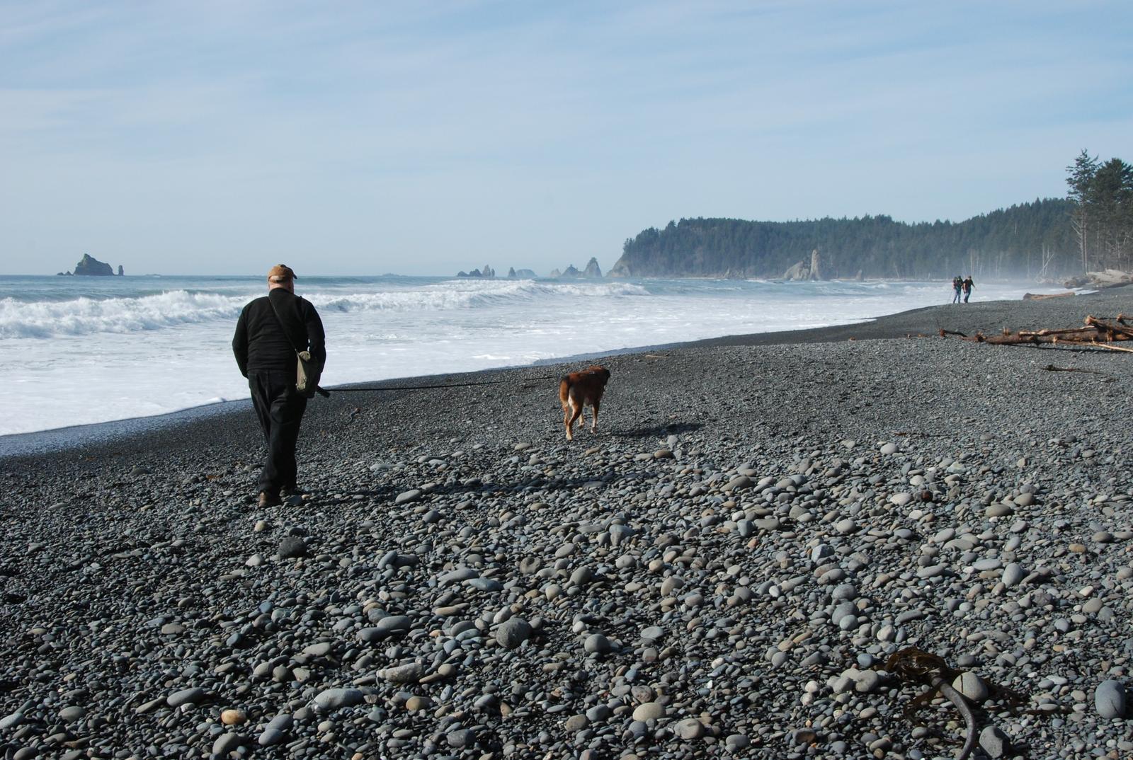
Visit NSW says dogs are welcome on leash for most of the Kiama Coast Walk, but not on some beach sections, so follow the signs as you go. Council's plaque for the southern clifftops says dogs must be on a leash there too. There are several off-leash areas along the way, and Kiama Council maps them on its off-leash areas page.
Carry water for your dog on the South section, where there is little shade and no safe drinking water. Most of our apartments take pets, so the dog can come for the whole weekend. See pet-friendly accommodation in Kiama.
Pack water, sun protection and swimmers
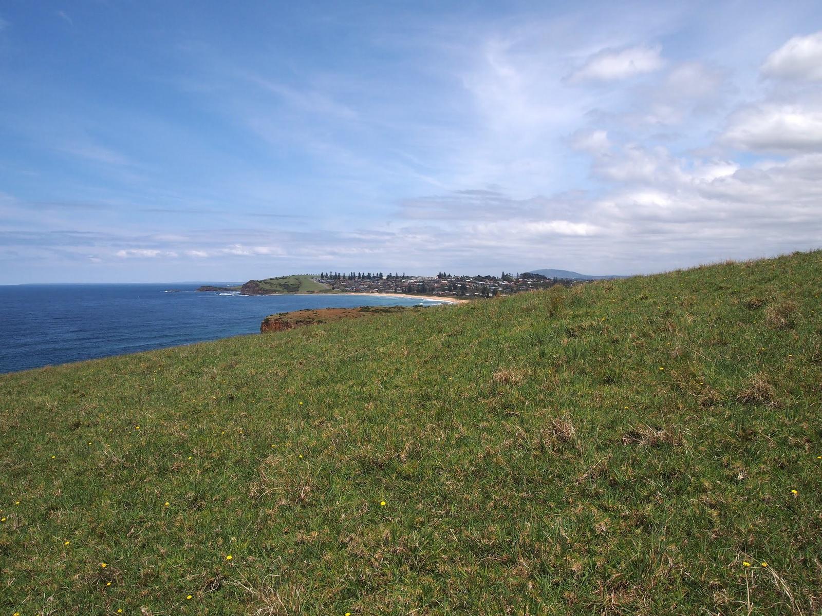
- Water: there are free refill stations along the Coast Walk and around town, but the creek water on the southern clifftops is not safe to drink. Bring plenty of water and food for the South section.
- Sun and wind: there is almost no tree cover on the southern half. Wear a hat and sunscreen, and pack a layer for the wind.
- Shoes: sturdy walking shoes for grass, sand and steps.
- Phone: carry a charged phone for maps, train times and emergencies.
- Swimmers: there are beaches and ocean pools along every section.
- Rubbish bag: Destination Kiama asks walkers to "take 3 for the sea" and carry out three pieces of rubbish.
Some of the walk runs along unfenced cliff tops, so don't leave children unattended.
Time your walk for the weather and the whales
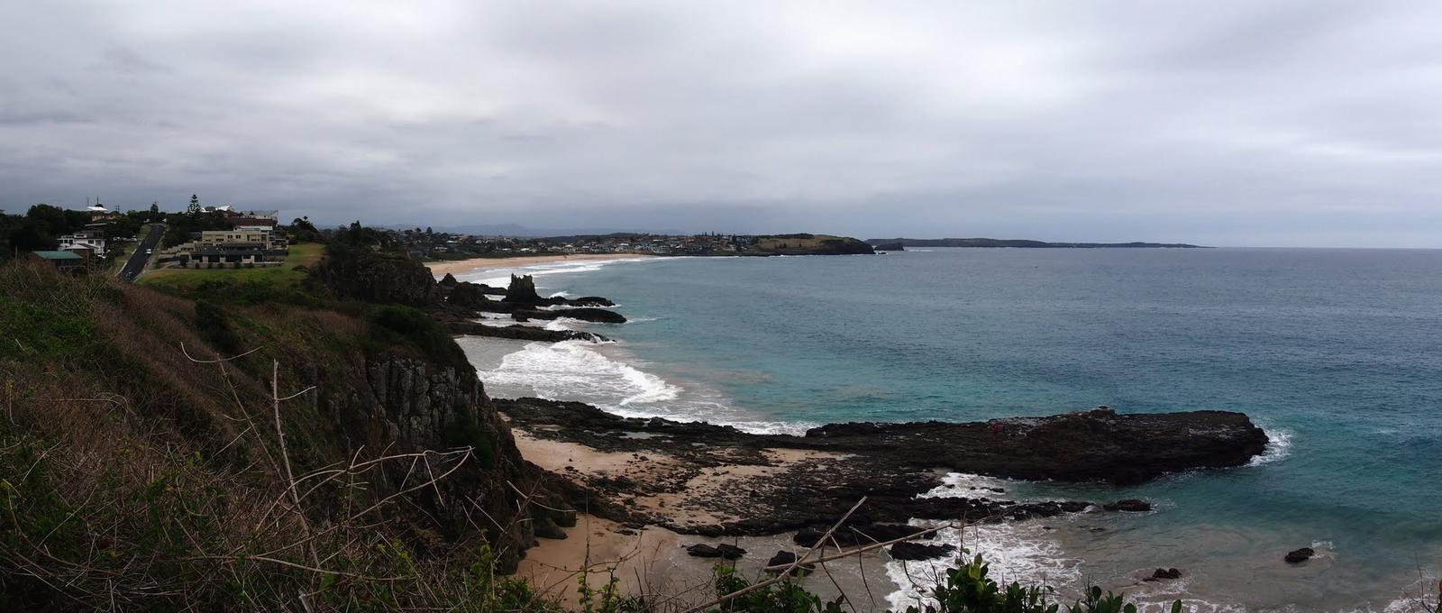
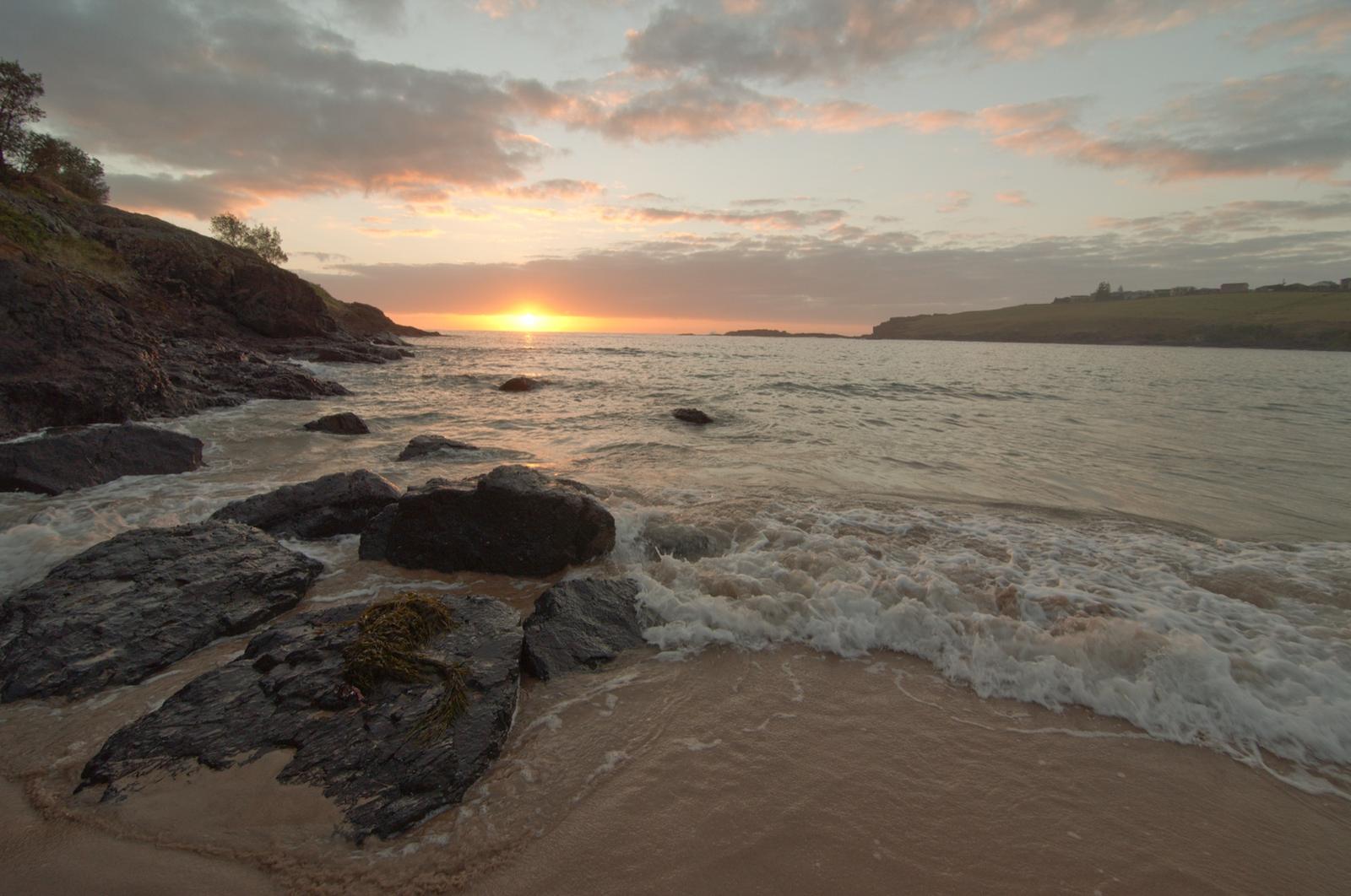
In summer, start early in the morning, and check the forecast before the South section, which is very exposed to strong winds. In whale season, the Minnamurra whale-watching platform at the start of the walk is a good place to stop and watch, and you may spot a dolphin or two around Kendalls Beach. Plan more with our guides to whale watching in Kiama, Kiama weather and sunrise spots on the coast.
Use the official Kiama Coast Walk map
Destination Kiama publishes a printable Kiama Coast Walk map (PDF, about 12 MB) and an interactive digital map. Download the PDF before you go.
Handy pins for planning: Minnamurra station (North start), Blowhole Point (Mid start), Loves Bay at Kiama Heights (South start) and Werri Beach (finish).
Join the walk on foot from Kiama Ridge Waters
Kiama Ridge Waters sits in the quieter southern part of Kiama, close to the Mid section. These times are measured on foot from the apartments:
- Easts Beach: 15 minutes (1.3 km)
- Kendalls Beach: 16 minutes (1.4 km)
- Little Blowhole: about 20 minutes (1.6 km)
- Loves Bay, start of the South section: about 30 minutes (2.2 km)
- Kiama Blowhole and Lighthouse: about 35 minutes (2.8 to 2.9 km)
Four ways to use the walk from the apartments:
- An easy hour: walk to Easts Beach, turn north to the Little Blowhole and Kendalls Beach, then head home.
- Into town: follow the Mid section north past Kendalls and Surf Beach to the Blowhole, have lunch in town, and walk back.
- Half to full day: walk south from Loves Bay to Gerringong, then take the train back to Kiama station, about 27 minutes on foot from the apartments.
- The whole walk: drive or take the train to Minnamurra and walk south. You'll pass the apartments' end of town in the afternoon, so you can stop there or push on to Gerringong.
Afterwards, see where to eat in Kiama or more walks in Kiama. If you are walking with friends or a club, our group stays put everyone in apartments on the same site at 2 Surfleet Place.
Quick answers
How long does it take to do the Kiama Coast Walk?
The full Kiama Coast Walk takes 6 to 7 hours one way. The sections take about 3 hours (North, Minnamurra to the Blowhole), 1.5 hours (Mid, Blowhole to Loves Bay) and 2 hours (South, Loves Bay to Gerringong). Allow extra time for swims, lunch and whale stops.
How long is the Kiama Coast Walk in km?
About 20 km from the Minnamurra River to Werri Beach, Gerringong, although Visit NSW also quotes 22 km. The North section is 8.5 km, the Mid section 5 to 6 km and the South section 6 km. Gerroa is about 45 minutes' walk beyond Werri Beach.
Where does the Kiama Coast Walk start and finish?
It starts at Minnamurra station and the Minnamurra River mouth in the north and finishes at Werri Beach in Gerringong. You can also start at Blowhole Point in Kiama or Loves Bay at Kiama Heights and walk just one section.
Is the Kiama Coast Walk hard?
Destination Kiama calls the hills gentle enough for most fitness levels, but rates the North section medium and the Mid and South sections medium/hard. The South section is hilly and exposed, with no formed track and no toilets. Council rates the Werri Lagoon to Loves Bay walk as moderate (Class 4).
Can you take dogs on the Kiama Coast Walk?
Yes. Dogs are allowed on leash for most of the walk, but not on some beach sections, so follow the signs. There are off-leash areas along the way. Bring water for your dog on the South section, where there is little shade and no drinking water.
Can you catch the train back from Gerringong to Kiama?
Yes. Gerringong station is 1.4 km up Belinda Street from Werri Beach, on the same South Coast Line as Kiama and Minnamurra. Check times on Transport NSW or the TripView app before you set off, or leave a car at each end if you are walking with a dog.
Are there toilets on the Kiama Coast Walk?
Yes. Visit NSW says toilets, drinking fountains and barbecues are available at many points along the walk. There are no toilets on the South section between Loves Bay and Werri Lagoon, so plan a stop before you leave Kiama Heights.
What happens if Werri Lagoon is open?
When Werri Lagoon is open to the sea, usually after heavy rain, the Coast Walk is closed at the lagoon and you can't cross to Werri Beach. Phone the Kiama Visitor Information Centre on 1300 654 262 before starting the South section.