
Pick a walk by time and terrain
Kiama gives you three kinds of walking within 40 minutes of each other: clifftops and beaches on the coast, rainforest in the valley behind Jamberoo, and open heath on top of the escarpment. Here is how the main walks compare. Distances and grades come from Destination Kiama and NSW National Parks; travel times are from Kiama Ridge Waters.
| Walk | Distance | Time | Grade | From the apartments |
|---|---|---|---|---|
| Kiama Coast Walk, Mid section | 6 km one way | 1.5 hours | Medium/hard | 15 min on foot to Easts Beach |
| Kiama Coast Walk, North section | 8.5 km one way | 3 hours | Medium | 12 min by car to Minnamurra station |
| Kiama Coast Walk, South section | 6 km one way | 2 hours | Medium/hard | 31 min on foot (2.2 km) to Loves Bay |
| Bonaira Native Gardens | Garden path | About 30 min | Family friendly | 16 min on foot (1.3 km) |
| Lyrebird Loop, Minnamurra Rainforest | 1.6 km loop | 30 min to 1 hour | Grade 3 | 25 min by car |
| Minnamurra Falls walk | 4.2 km return | 1 to 2 hours | Grade 4 | 25 min by car |
| Illawarra Lookout, Barren Grounds | 2 km return | 30 min to 1 hour | Grade 3 | 31 min by car |
| Griffiths walking track, Barren Grounds | 8 km loop | 2.5 to 3.5 hours | Grade 3 | 31 min by car |
| Cooks Nose walking track, Barren Grounds | 8 km return | 2.5 to 3.5 hours | Grade 3 | 31 min by car |
| Sand track (south), Seven Mile Beach | 2 km one way | 1.5 to 2.5 hours | Grade 4 | 19 min by car |
| Sand track (north), Seven Mile Beach | 3 km one way | 2.5 to 3.5 hours | Grade 4 | 19 min by car |
Numbered grades are NSW National Parks' own track grades, the Coast Walk grades are Destination Kiama's, and times are as published. Add time for swims, photos and lunch.
Walk the Kiama Coast Walk in sections
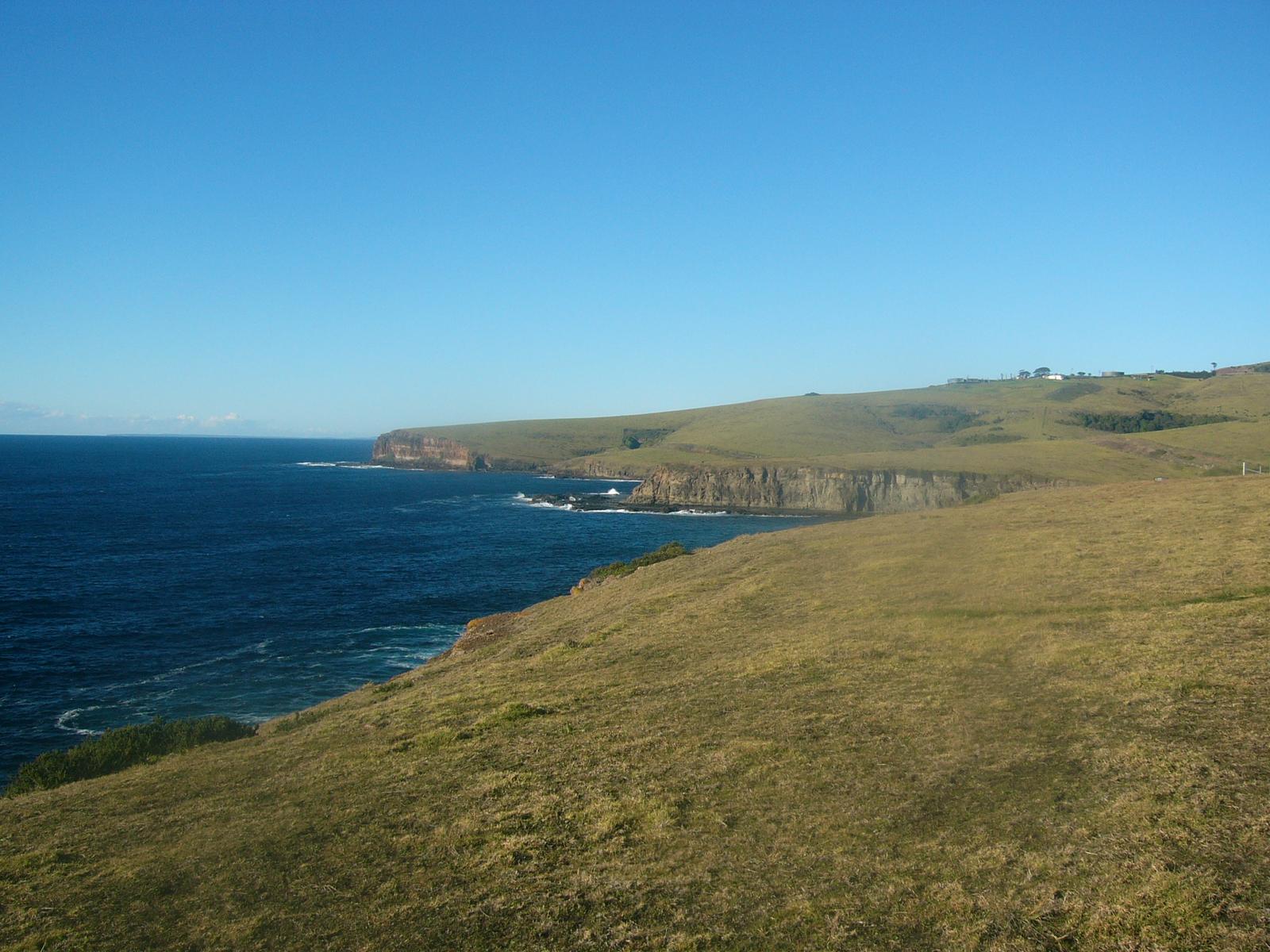
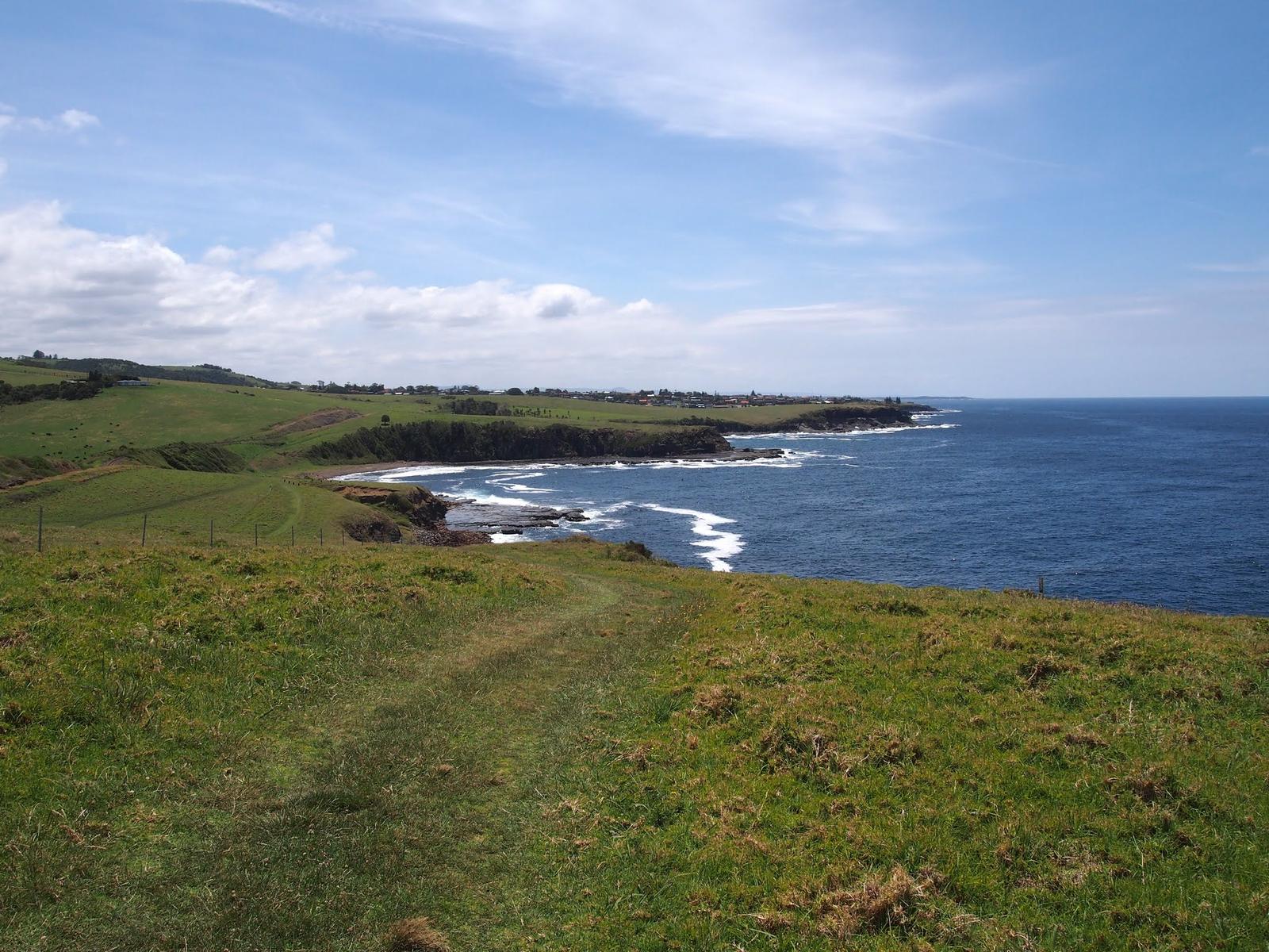
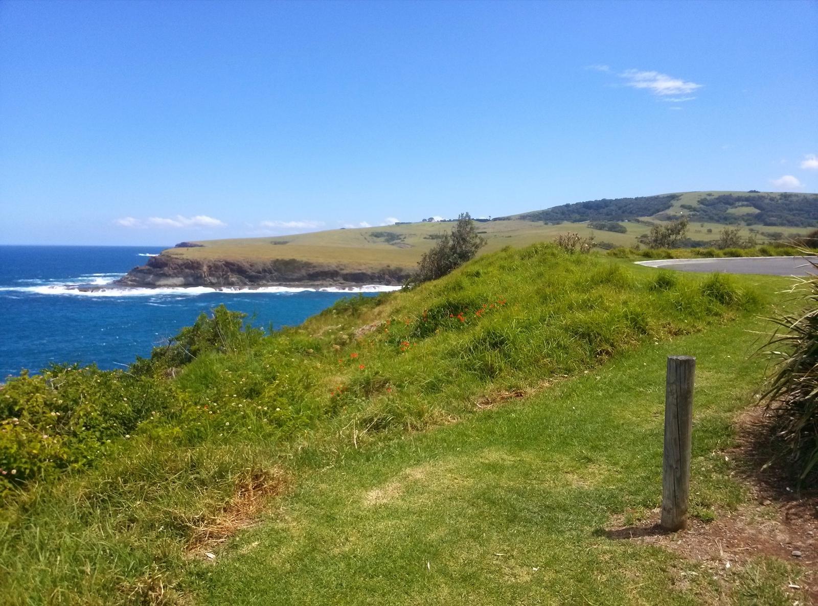
The Kiama Coast Walk is the walk most people come for. Kiama Council describes it as about 20 km in total, from the mouth of the Minnamurra River in the north, through Kiama town, to Werri Beach at Gerringong in the south. It mixes sealed paths, grassy tracks and beach walking.
Destination Kiama splits it into three sections, so you can do one a day or string them together:
- North, Minnamurra River to Kiama Blowhole: 8.5 km, about 3 hours, medium. Jones Beach, Cathedral Rocks, the Boneyard and the basalt columns of Bombo Headland.
- Mid, Kiama Blowhole to Loves Bay: 6 km, about 1.5 hours, medium/hard. The town stretch past Surf Beach, Kendalls Beach, the Little Blowhole and Easts Beach, with Visit NSW noting toilets, drinking fountains and barbecues at many points along the walk.
- South, Loves Bay to Gerringong: 6 km, about 2 hours, medium/hard. Quiet clifftops over farmland, with what Destination Kiama calls "a notable number of hills and climbs".
Destination Kiama asks walkers to bring a drink bottle and use the free water filling stations along the Coast Walk and around town. Fill up before you leave Kiama Heights for the South section, which runs through coastal pastures.
Werri Lagoon closure: when Werri Lagoon opens to the sea after heavy rain, Kiama Council closes the southern end of the walk at the lagoon. You can still walk out from Loves Bay and back. Check council alerts or call the Kiama Visitor Information Centre on 1300 654 262 before you set out.
Minnamurra, Kiama and Gerringong are all on the South Coast Line, so you can walk one way and catch the train back. Check times on Transport NSW. Our Kiama Coast Walk guide covers every section in detail, with the official map, the Gerringong Bowlo lift back and where to swim.
Kiama Visitor Information Centre
Blowhole Point, Kiama
Start of the Mid section. Ask here about Werri Lagoon, track conditions and the Heritage Walks brochure. Phone 1300 654 262.
WebsiteGoogle MapsDirections: Google Maps · Waze
Start walking from the apartments
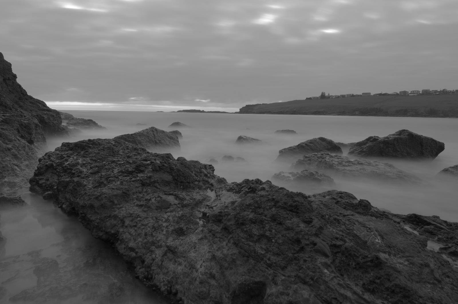
Kiama Ridge Waters is in the quieter southern part of Kiama, so you can leave the car at home for the shorter walks. Times on foot from the apartments:
- Easts Beach, on the Mid section: 15 minutes (1.3 km)
- Kendalls Beach: 16 minutes (1.4 km)
- Bonaira Native Gardens: 16 minutes (1.3 km)
- Kiama station and the town centre: about 27 minutes (2.2 to 2.3 km)
- Kiama Blowhole and Lighthouse: about 35 minutes (2.8 to 2.9 km)
For an easy first afternoon, walk down to Easts Beach, follow the Coast Walk north to Kendalls Beach and the Little Blowhole, and head home. For a longer morning, keep going north to the Blowhole and Lighthouse, have lunch in town and walk back.
Bonaira Native Gardens on Allambie Crescent is the quiet option. Destination Kiama describes a path that winds through the forest floor under tall trees and dense undergrowth, with plaques naming the local plants. It takes about 30 minutes, suits families and has a picnic area.
Bonaira Native Gardens
Allambie Crescent, Kiama
A pocket of native forest with a 30-minute path, plant plaques and a picnic area, 16 minutes on foot from the apartments.
WebsiteGoogle MapsDirections: Google Maps · Waze
Take a short walk at Bombo Headland or through old Kiama
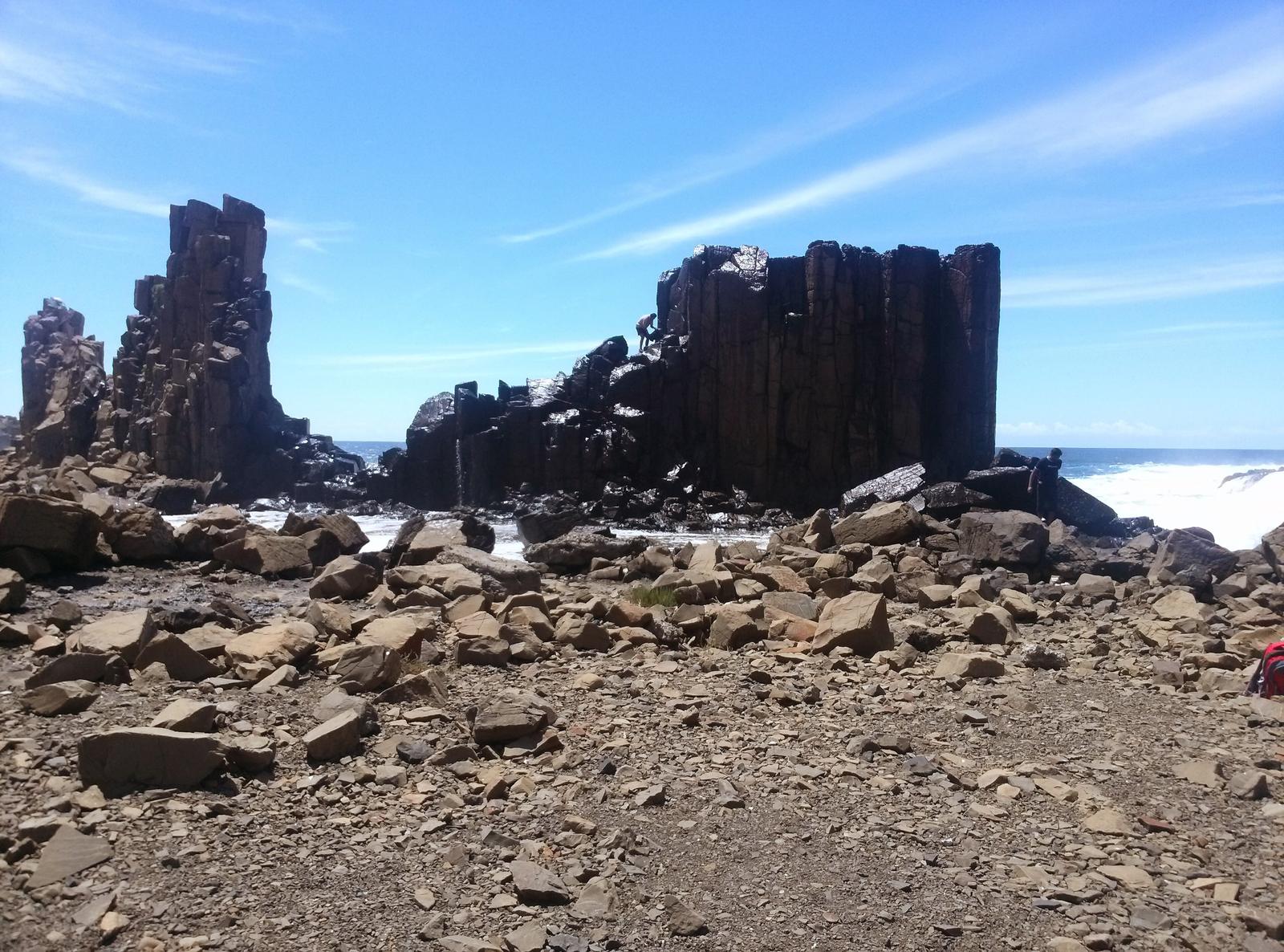
Bombo Headland is a short walk among hexagonal basalt columns left by blue metal quarrying in the 1880s and 1900s, then shaped by the ocean. Destination Kiama says it feels like walking on the moon, and suggests it for photography, especially at sunrise. It's on the North section of the Coast Walk and about 8 minutes' drive (7 km) from the apartments, to the north Bombo car park. Destination Kiama notes the site doesn't cater for people with access needs. Read more in our Bombo guide.
The Kiama Heritage Walk takes in the historic buildings of the town centre: the Lighthouse, the Pilot's Cottage, the Post Office, the terrace houses, the Masonic Temple, the Old Fire Station, early banks, pubs and churches. Pick up the free Heritage Walks brochure from the Visitor Information Centre. For an audio version, Kiama Library's My Place: A Digital Tour of Kiama app has 15 points of interest and six audio stops, and takes about 45 minutes.
Bombo Headland
Bombo, north Kiama
Basalt columns from the old blue metal quarry, on the North section of the Coast Walk. Not suitable for people with access needs.
WebsiteGoogle MapsDirections: Google Maps · Waze
Walk under the canopy at Minnamurra Rainforest
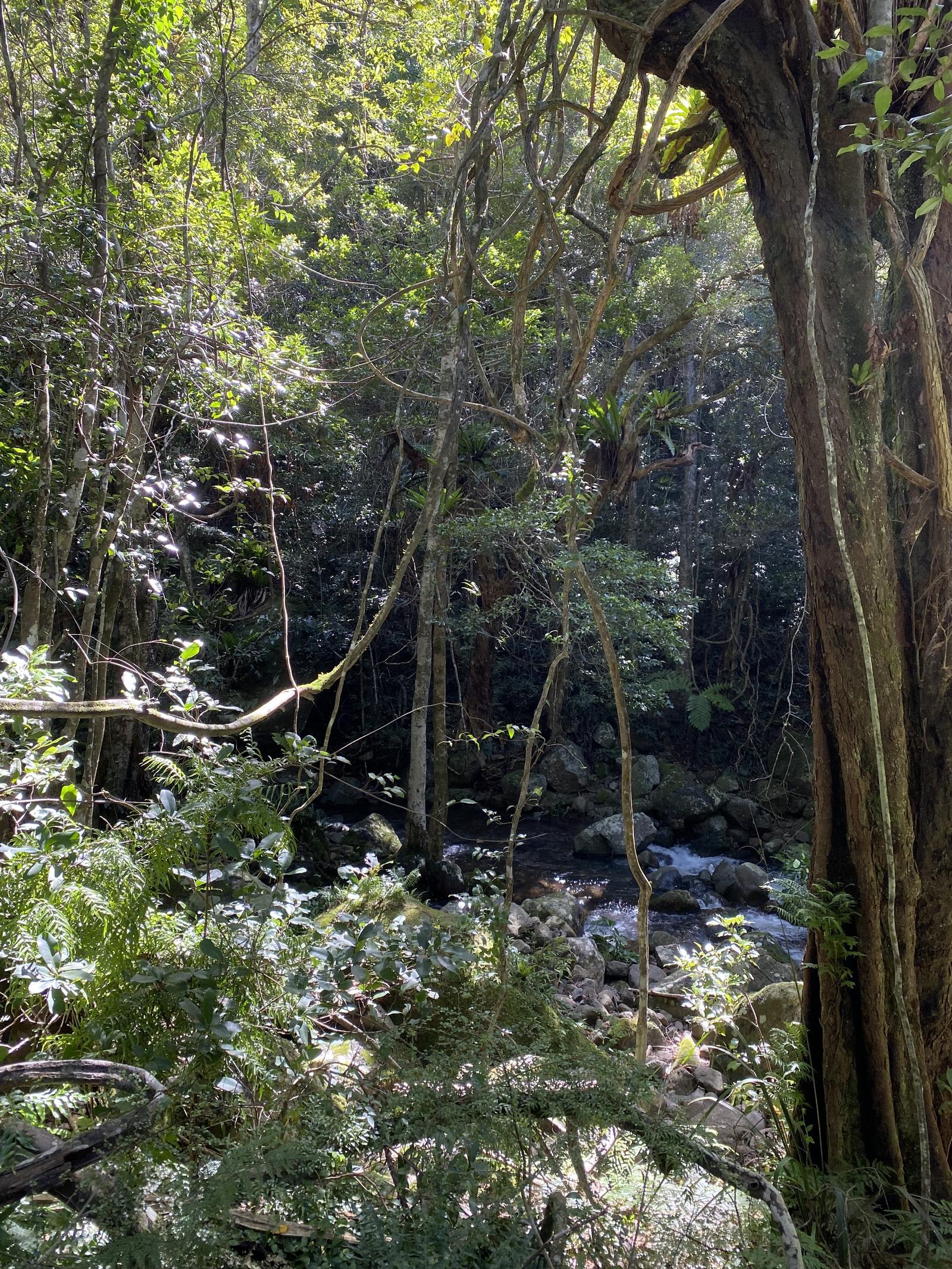
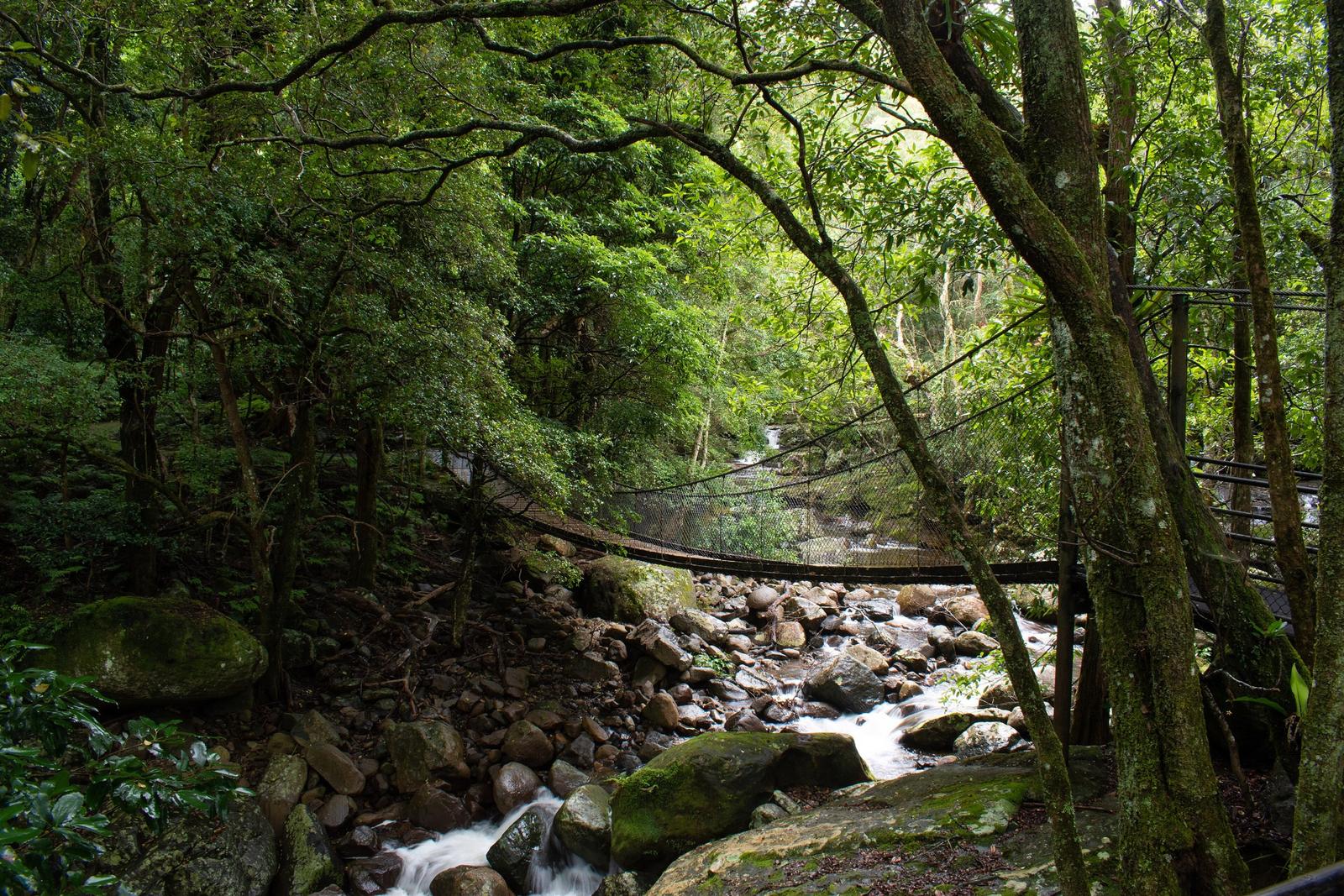
Minnamurra Rainforest, in Budderoo National Park past Jamberoo, is a 25-minute drive (18 km) from the apartments. Two walks start at the Rainforest Centre:
- Lyrebird Loop: 1.6 km on elevated walkway and suspension bridges, 30 minutes to an hour, grade 3. Last access 4pm.
- Minnamurra Falls walk: 4.2 km return, 1 to 2 hours, grade 4, with steep sections. It branches off the loop and climbs to lookouts over the lower and upper falls. Last access 3pm.
Park gates open 9am to 5pm and entry is $12 per vehicle per day, according to NSW National Parks. Prices and hours change, so check before you go. The centre can close at short notice when the car park fills, and NSW National Parks suggests arriving outside 11am to 2pm. Our Minnamurra Rainforest guide has the full detail.
Minnamurra Rainforest Centre
345 Minnamurra Falls Road, Jamberoo
Start of the Lyrebird Loop and Minnamurra Falls walk. Vehicle entry fee applies; check alerts before you drive out.
WebsiteGoogle MapsDirections: Google Maps · Waze
Head up the escarpment to Barren Grounds
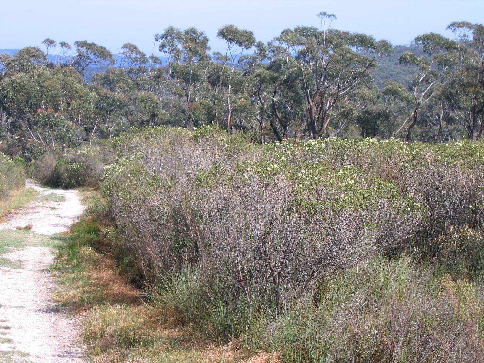
Barren Grounds Nature Reserve sits at the top of Jamberoo Pass, almost ringed by cliffs. From Kiama, take Jamberoo Road to Jamberoo, turn onto Jamberoo Mountain Road and follow it to the top of the escarpment; the entrance is signposted on your left. It's about 31 minutes' drive (22.5 km) from the apartments, and there's no public transport.
All three main walks start at the Barren Grounds picnic area, where there are toilets and picnic tables:
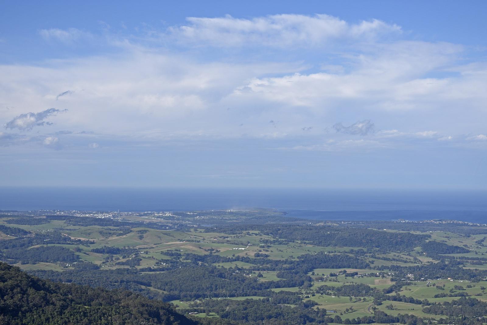
- Illawarra Lookout walking track: 2 km return, 30 minutes to an hour, grade 3. An undulating path through woodland and heath to a lookout on the edge of the escarpment, with views over green hills to the coast. You might see an echidna.
- Griffiths walking track: 8 km loop, 2.5 to 3.5 hours, grade 3. It passes Illawarra Lookout, crosses the cliffs above Kangaroo Valley, climbs to Saddleback Trig and returns via a natural stone bridge over Lamonds Creek. NSW National Parks says it suits experienced, self-reliant bushwalkers.
- Cooks Nose walking track: 8 km return, 2.5 to 3.5 hours, grade 3. Well marked and steep in places, across open heath to an escarpment overlooking Kangaroo Valley. Spring wildflowers colour the heath, and red and yellow Christmas bells are a highlight.
Destination Kiama says about 180 bird species have been recorded in the reserve, including honeyeaters, southern emu-wrens and crimson rosellas. It's also home to the threatened eastern bristlebird and ground parrot, so bring binoculars. Wildflowers peak in spring, and swamp banksias flower in winter.
There's no drinking water and little or no mobile reception, so carry water and tell someone your plans. The reserve is always open but can close in poor weather or fire danger. Pets and bicycles aren't allowed, and NSW National Parks is running a 1080 fox baiting program here until 13 January 2027.
Barren Grounds Nature Reserve
Jamberoo Mountain Road, top of Jamberoo Pass
Heath and escarpment walks from 2 km to 8 km, starting at the picnic area with toilets. No pets, no drinking water.
WebsiteGoogle MapsDirections: Google Maps · Waze
Add Carrington Falls to an escarpment day
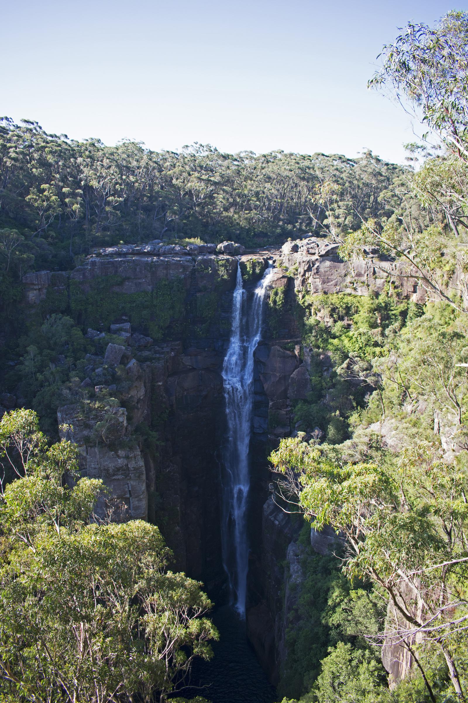
Carrington Falls, in Budderoo National Park near Robertson, is about 40 minutes' drive (32.6 km) from the apartments. The walking track is a 0.6 km loop from the Carrington Falls picnic area, 30 to 45 minutes, grade 3. It passes Falls View lookout, drops down a steep metal stairway into a shady rainforest gully, then climbs back up past Valley View lookout. The falls drop more than 50 m, and waratahs flower here in spring and summer.
NSW National Parks lists alerts for this area, such as 1080 fox baiting at the Carrington Falls picnic area and walking track until 13 January 2027, and night closures from Monday to Thursday on the powerlines trail east of the falls until 17 December 2026. The daytime walk isn't listed as closed, but check the Budderoo alerts on the day.
Carrington Falls walking track
Budderoo National Park, near Robertson
A 0.6 km loop to two lookouts over a waterfall of more than 50 m, with a steep metal stairway. No wheelchair access.
WebsiteGoogle MapsDirections: Google Maps · Waze
Check Hoddles Track before you plan on it
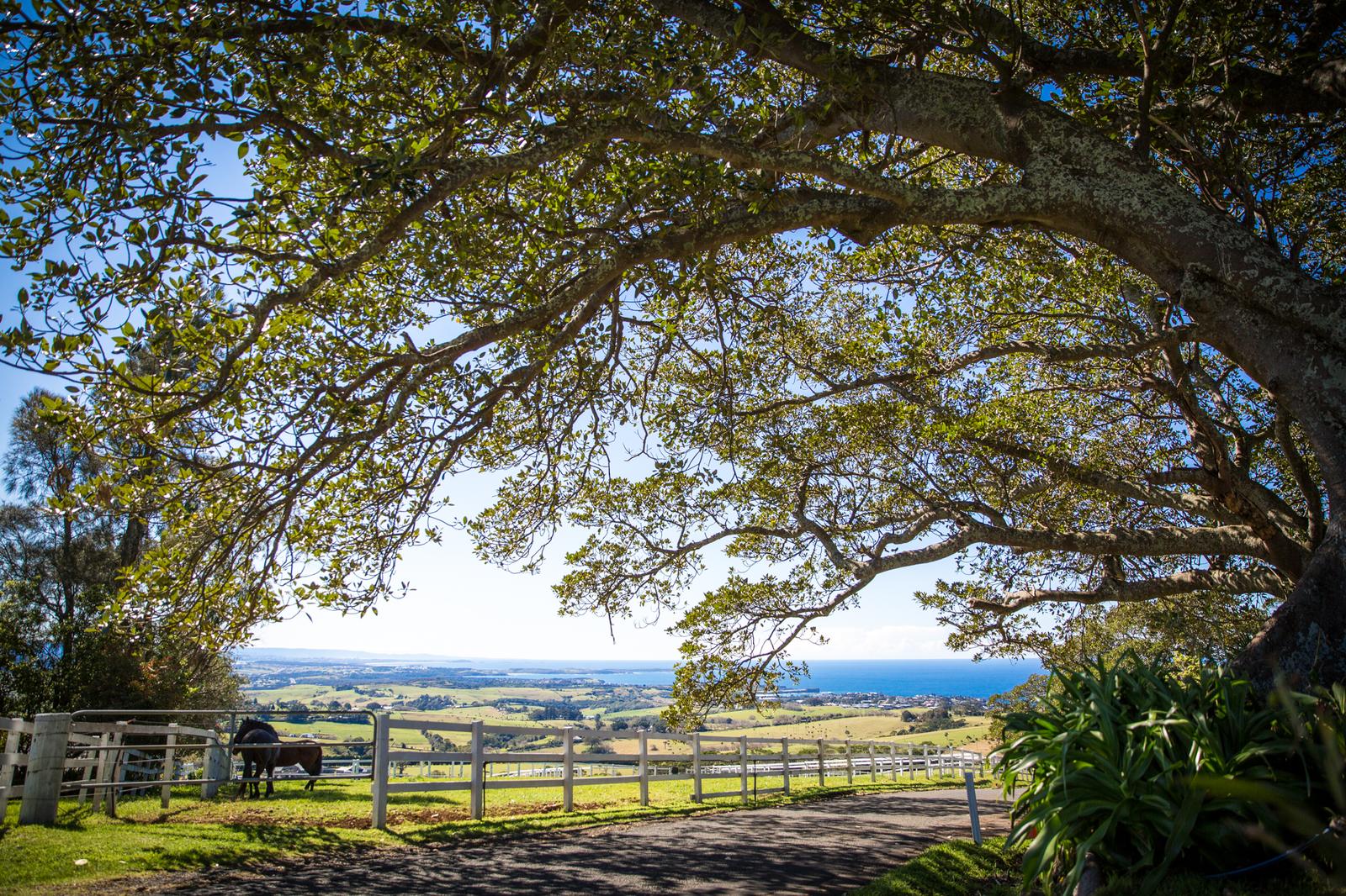
Hoddles Track starts at a fire trail near the western lookout on Saddleback Mountain, 9 minutes' drive from the apartments, and climbs to Mount Noorinan through remnant rainforest. It follows an 1830s route that linked the Southern Highlands to Kiama Harbour. Destination Kiama lists it as 7 km return, about two hours, steep and slippery in places.
Destination Kiama lists it as closed because of fallen trees and track maintenance. Call the Visitor Information Centre on 1300 654 262 before you go, and don't walk past a closure sign.
Walk the sand tracks at Seven Mile Beach
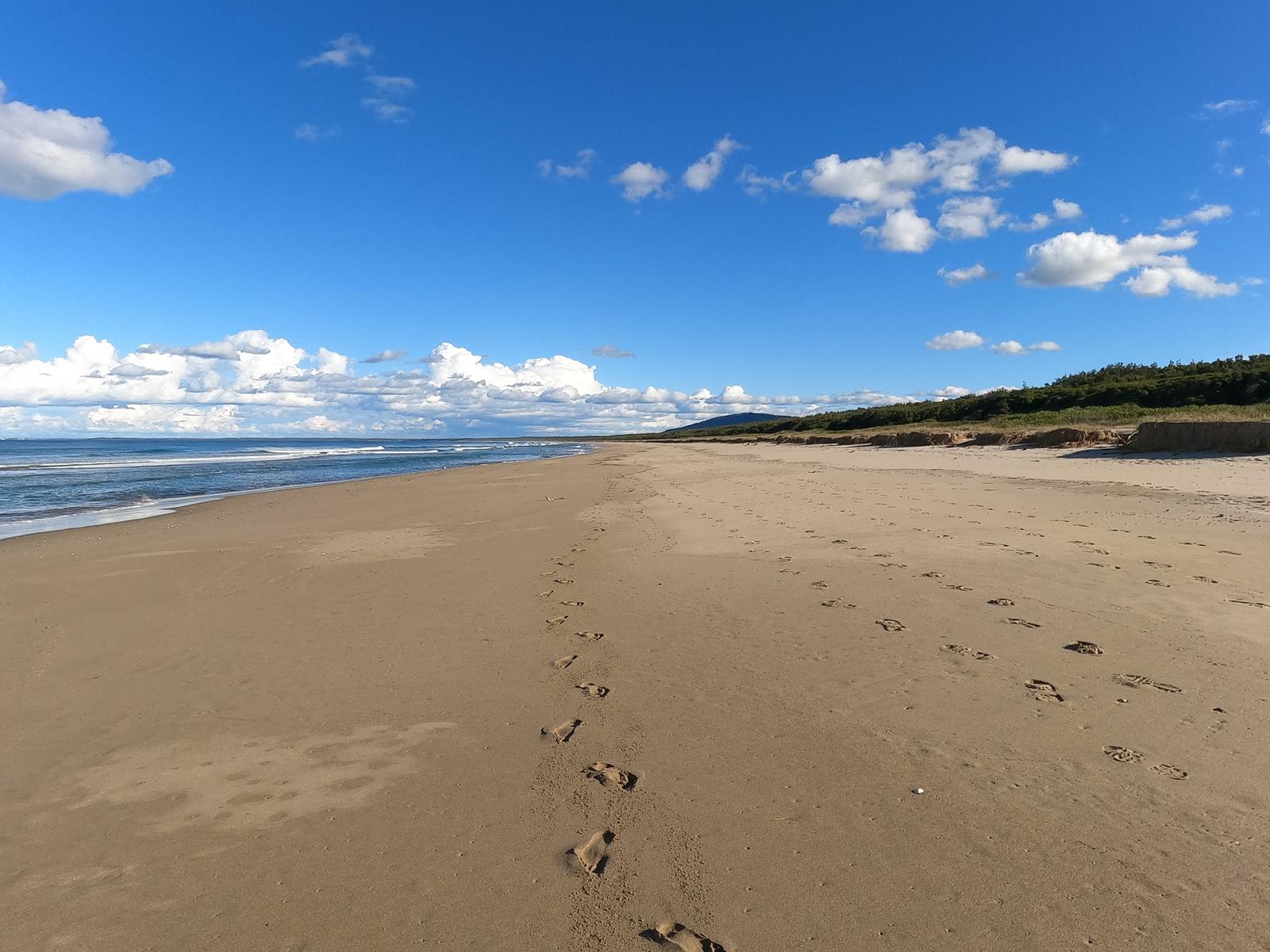
Seven Mile Beach National Park runs south from Gerroa, and its two sand tracks start at the Beach Road picnic area, about 19 minutes' drive (15.8 km) from the apartments. The road in is sealed and suits 2WD cars.
- Sand track (south): 2 km one way, 1.5 to 2.5 hours, grade 4. NSW National Parks calls it a level walk easy enough for the whole family. It runs through the hind dunes past tall blackbutts, bangalay sand forest and littoral rainforest to the middle of Seven Mile Beach. Walk back the same way or along the sand.
- Sand track (north): 3 km one way, 2.5 to 3.5 hours, grade 4. Through dune forest and littoral rainforest to the Gerroa picnic area, with thornbills, wrens, honeyeaters and brown cuckoo-doves along the way.
Beach Road picnic area has toilets, showers, picnic tables, barbecues and drinking water. Gerroa picnic area has toilets, showers and water but no barbecue. Dogs aren't allowed anywhere in the park. Mobile reception is limited, so NSW National Parks suggests downloading the Emergency+ app before you visit. See our Seven Mile Beach guide and Gerroa guide for swimming and lunch.
Beach Road picnic area
Seven Mile Beach National Park
Start of both sand tracks, with toilets, showers, barbecues, drinking water and accessible parking.
WebsiteGoogle MapsDirections: Google Maps · Waze
Bring the dog on the coast, not into the national parks
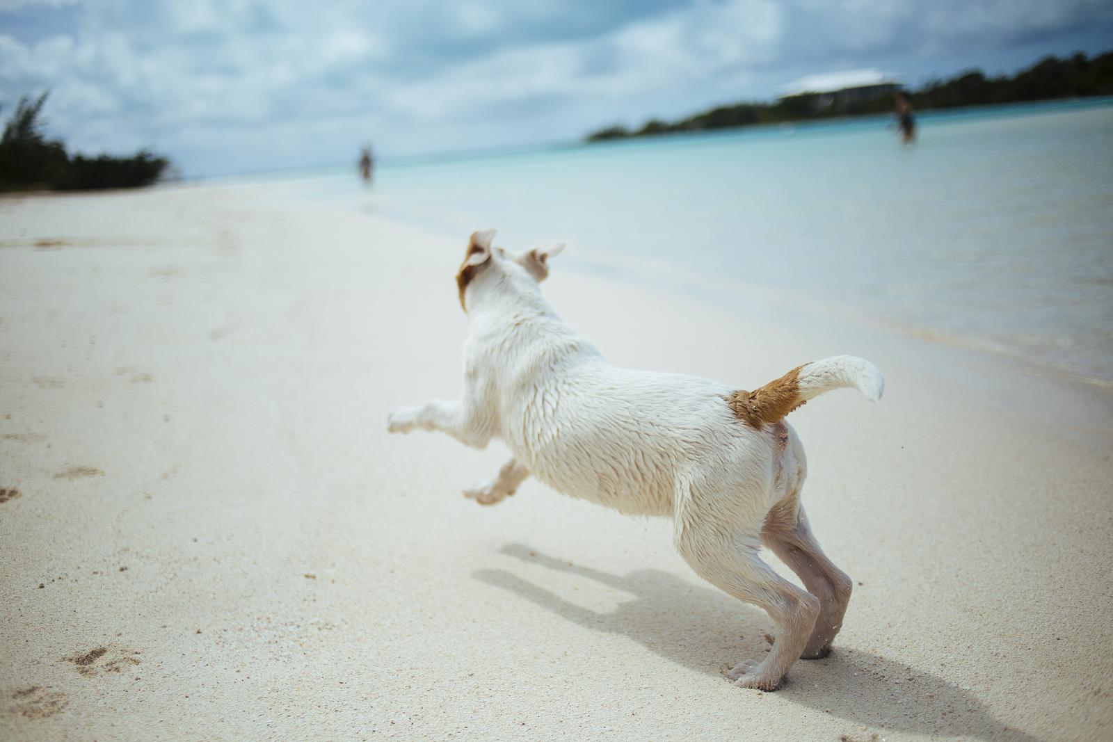
The Kiama Coast Walk is your dog-friendly option. Visit NSW says dogs are allowed on leash for most of it, excluding some sections of beach, and there are several off-leash areas along the way. Follow the signs as you go. Destination Kiama's general rule for local walks is to keep pets at home unless a sign says otherwise.
Pets aren't permitted in Barren Grounds Nature Reserve, Seven Mile Beach National Park or Budderoo National Park, which takes in Minnamurra Rainforest and Carrington Falls, other than certified assistance animals. NSW National Parks has 1080 fox baits laid around Carrington Falls, the Budderoo Plateau and Barren Grounds until 13 January 2027, and in Seven Mile Beach National Park until 21 December 2026. The 1080 bait is lethal to dogs, so keep them well away.
Most of our apartments take pets, with a $200 cleaning fee. See pet-friendly accommodation in Kiama.
Pack for the conditions
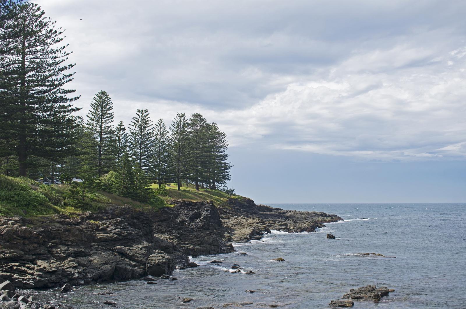
Destination Kiama's checklist for every walk in the area:
- Check the weather and tides before you set out.
- Take enough water, food and clothing for the weather.
- Keep to formed tracks and use the car parks provided.
- Take your rubbish with you or use the bins.
- No fires on any walk, and camp only in designated areas.
NSW National Parks warns that the weather on the escarpment can change quickly, so pack a layer for Barren Grounds even on a fine day. On the coast, Visit NSW suggests sunscreen, a hat and swimmers. For the season ahead, see Kiama weather. Visit NSW says to look out for humpback whales between May and November, with whale watching platforms at Minnamurra and Gerringong, so a headland walk can double as whale watching.
Quick answers
What are the main walks in Kiama?
The Kiama Coast Walk is the main one: about 20 km from Minnamurra to Gerringong, split into three sections. Inland, there's the Lyrebird Loop and Minnamurra Falls walk at Minnamurra Rainforest, the Illawarra Lookout, Griffiths and Cooks Nose tracks at Barren Grounds, and the Seven Mile Beach sand tracks.
How long is the Kiama Coast Walk?
About 20 km from the Minnamurra River to Werri Beach in Gerringong. Destination Kiama gives the sections as North 8.5 km (3 hours), Mid 6 km (1.5 hours) and South 6 km (2 hours). You can walk one section and catch the train back from Minnamurra, Kiama or Gerringong.
What is an easy walk in Kiama?
The stretch of the Coast Walk between Easts Beach and Kendalls Beach is short, and Easts Beach is 15 minutes on foot from the apartments. Bonaira Native Gardens takes about 30 minutes. Further out, the 1.6 km Lyrebird Loop at Minnamurra Rainforest and the 2 km Illawarra Lookout track at Barren Grounds are both short, grade 3 walks.
Can I take my dog on walks in Kiama?
Yes, on the Kiama Coast Walk, where dogs are allowed on leash for most of the route but not on some beaches. Pets aren't allowed in Barren Grounds, Seven Mile Beach National Park or Budderoo National Park, which includes Minnamurra Rainforest. Fox baits are laid around Barren Grounds and Carrington Falls until January 2027.
Is Hoddles Track open?
No. Destination Kiama lists Hoddles Track as closed because of fallen trees and track maintenance. When open, it's a steep 7 km return walk from Saddleback Mountain to Mount Noorinan. Call the Kiama Visitor Information Centre on 1300 654 262 before you go.
Is the Kiama Coast Walk open to Gerringong?
It depends on Werri Lagoon. When it opens to the sea after heavy rain, Kiama Council closes the southern end of the walk at the lagoon. You can still walk out from Loves Bay and back. Check council alerts or call 1300 654 262 before you set out.
Sources and useful links
- Destination Kiama: Walking
- Destination Kiama: Kiama Coast Walk
- Kiama Council: Kiama Coast Walk
- Destination Kiama: Barren Grounds Nature Reserve
- NSW National Parks: Barren Grounds visitor info
- NSW National Parks: Illawarra Lookout walking track
- NSW National Parks: Griffiths walking track
- NSW National Parks: Cooks Nose walking track
- NSW National Parks: Lyrebird Loop walk
- NSW National Parks: Minnamurra Falls walk
- NSW National Parks: Carrington Falls walking track
- NSW National Parks: Budderoo National Park local alerts
- NSW National Parks: Sand track walk (north)
- NSW National Parks: Sand track walk (south)
- NSW National Parks: Seven Mile Beach visitor info
- Destination Kiama: Hoddles Track
- Destination Kiama: Bombo Headland
- Destination Kiama: Bonaira Native Gardens
- Destination Kiama: Kiama Heritage Walk
- Visit NSW: Kiama Coast Walk
- NSW National Parks: Budderoo National Park visitor info
- Transport NSW trip planner