
Expect mild, coastal weather all year
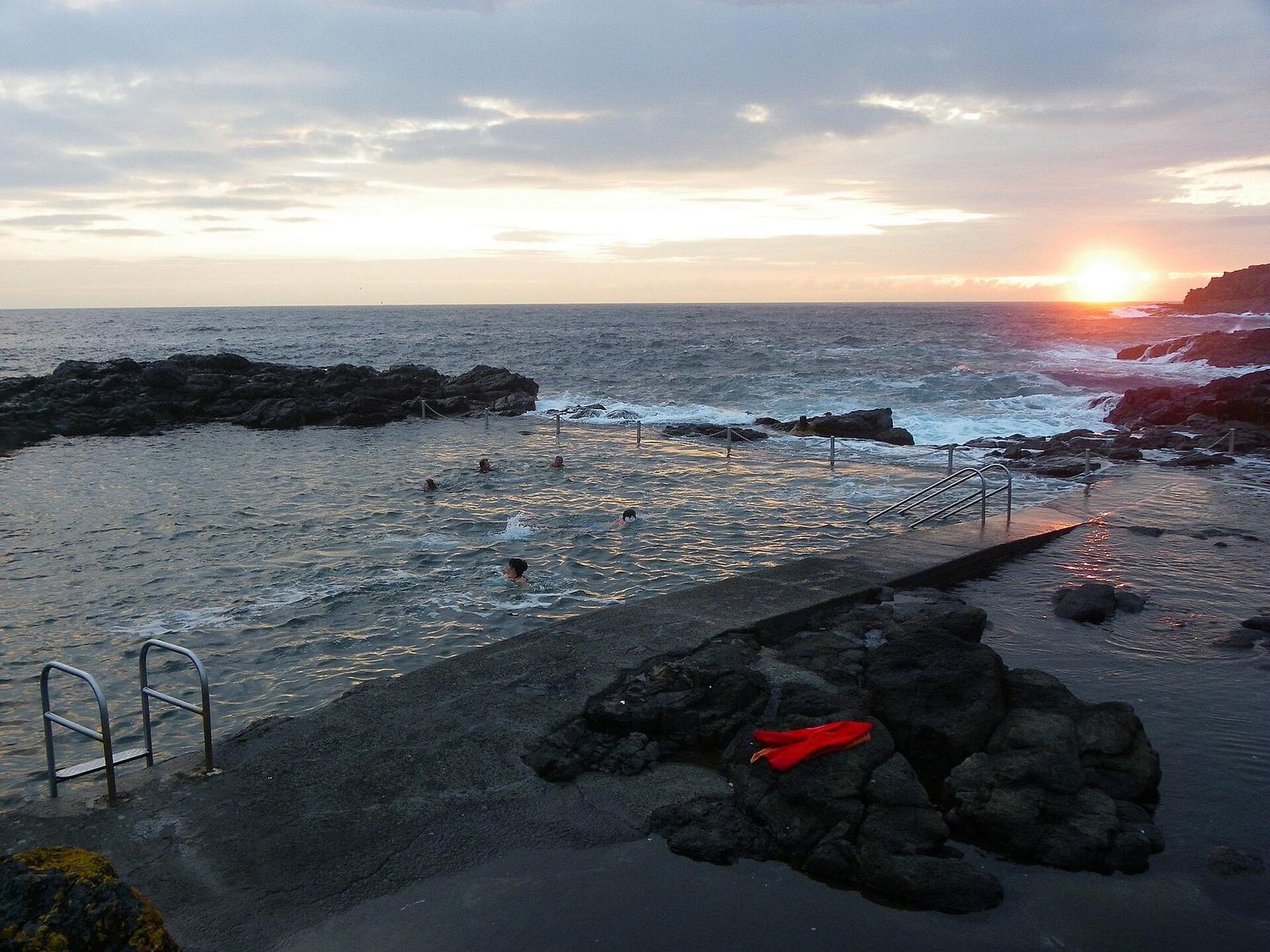
Kiama sits right on the ocean, and the sea keeps the town from getting very hot or very cold. The Bureau of Meteorology (BOM) weather station on Bombo Headland, just north of town, has recorded an average maximum of 21.4°C and an average minimum of 14.7°C across the year since it opened in 2001.
The figures in this guide come from that station, Kiama (Bombo Headland), site 068242. It is about 4 km north of Kiama Ridge Waters and sits 16 m above sea level, so it reads much like the coast around town. Where the Bombo records are short, we have added figures from the old Kiama Bowling Club station, which kept records from 1897 to 2011.
A few numbers sum it up:
- Hot days are rare: Bombo averages about 8 days a year at 30°C or more, and fewer than 2 days at 35°C or more.
- Frost does not happen: the station has never recorded 2°C or below.
- Rain is spread out: about 95 days a year bring 1 mm or more, roughly one day in four, and annual rain averages about 1,220 mm.
- Extremes do happen: the hottest day on record at Bombo was 45.0°C on 18 January 2013, and the strongest gust was 115 km/h.
Check the monthly averages
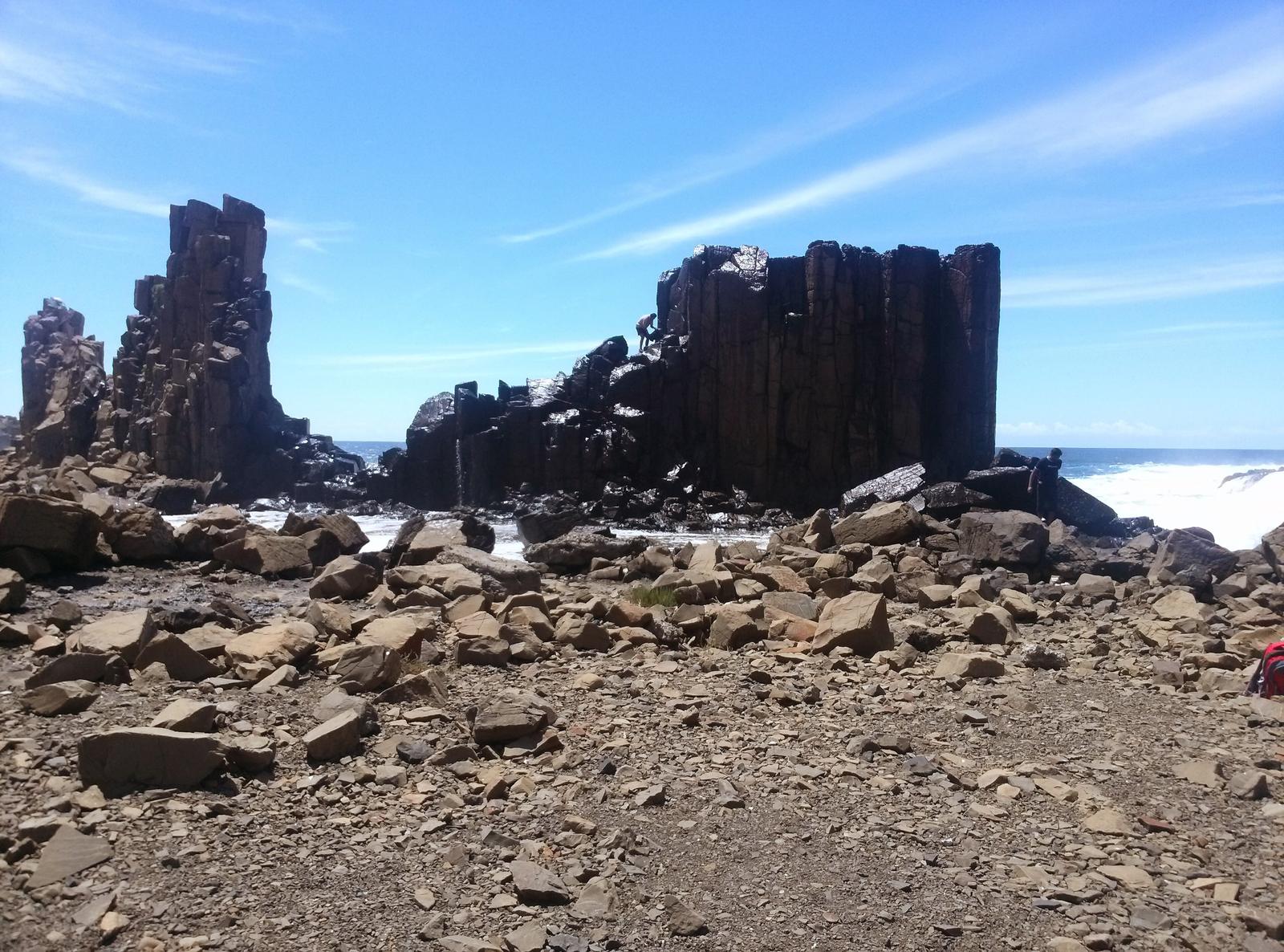
These are BOM averages for Kiama (Bombo Headland), 2001 to 2026. Highs and lows are the average daily maximum and minimum for the month.
| Month | Average high | Average low | Median rain | Rain days (1 mm or more) |
|---|---|---|---|---|
| January | 25.0°C | 19.0°C | 94 mm | 8.6 |
| February | 24.7°C | 18.9°C | 116 mm | 10.3 |
| March | 24.0°C | 18.0°C | 137 mm | 11.1 |
| April | 22.2°C | 15.6°C | 77 mm | 8.9 |
| May | 19.8°C | 13.2°C | 56 mm | 6.4 |
| June | 17.7°C | 11.4°C | 71 mm | 7.4 |
| July | 17.3°C | 10.3°C | 59 mm | 6.1 |
| August | 18.1°C | 10.8°C | 46 mm | 5.6 |
| September | 20.4°C | 12.3°C | 53 mm | 6.4 |
| October | 21.6°C | 14.0°C | 67 mm | 8.0 |
| November | 22.7°C | 15.8°C | 57 mm | 7.6 |
| December | 23.9°C | 17.3°C | 81 mm | 8.2 |
We show the median (the middle year) for rain because a few very wet years pull the average up. March 2022 alone brought 828.6 mm at Bombo, so March's average of 183 mm is well above what a typical March delivers. In a normal year, February and March are the wettest months, and August and September the driest.
Rain here often arrives in short, heavy bursts. Bombo averages about 32 days a year with 10 mm or more, and its wettest single day on record was 170.4 mm on 25 August 2015.
Plan around the four seasons
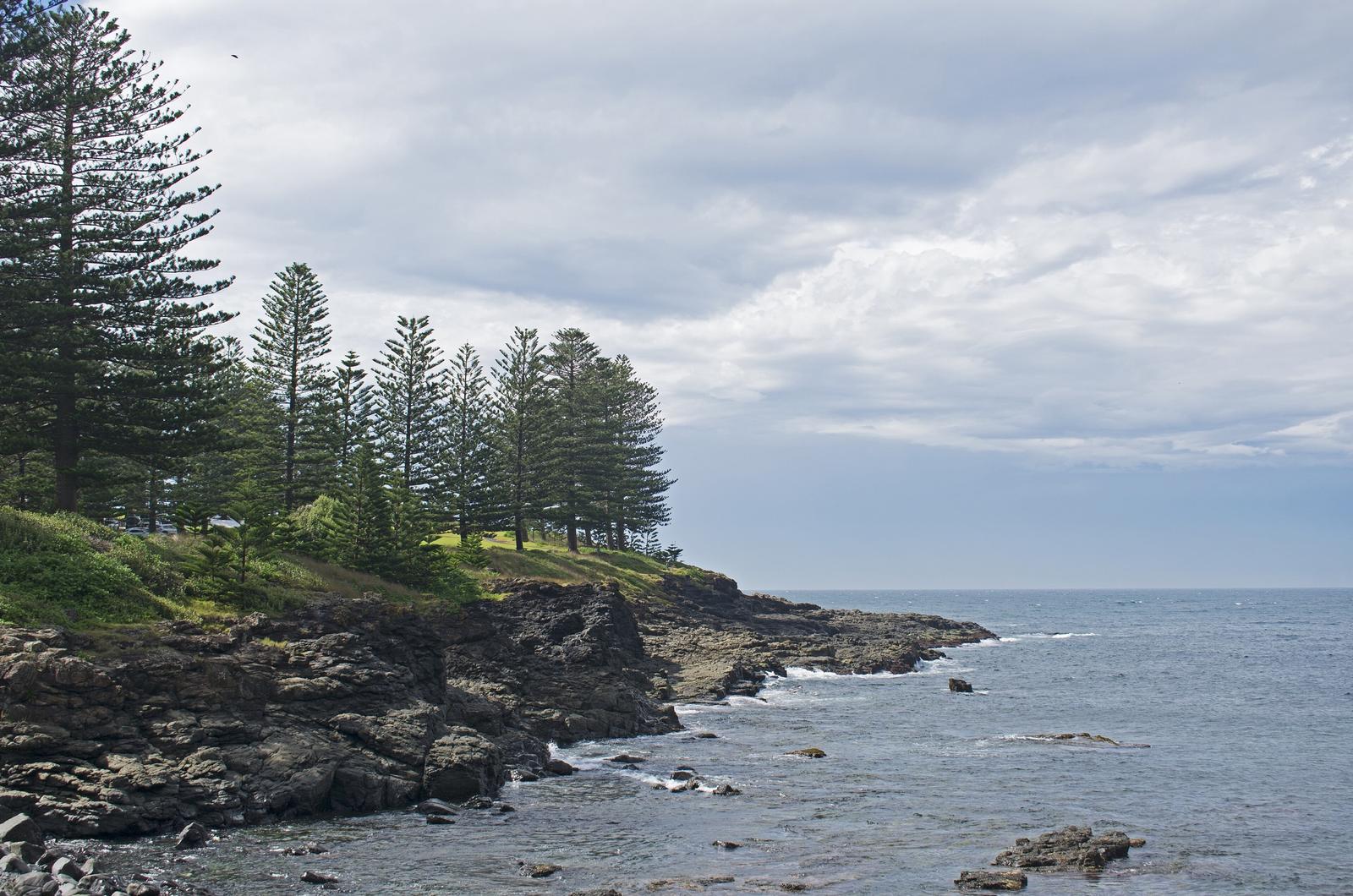
Summer, December to February
Warm days of 24 to 25°C and mild nights of 17 to 19°C. One day in ten in January tops about 27°C. February is a little more humid and wetter than December. This is the swimming season: council lifeguards patrol Easts Beach every day from 21 December to 31 January in 2026 to 2027, then on weekends in February. Kendalls Beach is patrolled every day from 22 December to 30 January. See our Kiama beaches guide for the rest.
Autumn, March to May
March is still warm at 24°C, but it is also the wettest month of the year on average. By May, highs drop below 20°C and the rain eases. Destination Kiama's seasonal page suggests autumn for the Kiama Coast Walk. Kiama Surf Beach stays patrolled until 23 April on weekdays and 25 April on weekends and public holidays.
Winter, June to August
Cool, clear and drier. Days reach about 17 to 18°C and nights 10 to 11°C. The old Bowling Club records show August had the most clear days of any month, and July and August the lowest afternoon humidity. Mornings are a little windier than in summer. Destination Kiama suggests rugging up with a coffee and going whale watching, with land-based platforms at Minnamurra and Gerringong. Whales head north past Kiama from May to July. Our winter guide has more ideas.
Spring, September to November
Days warm from 20°C in September to almost 23°C in November, and September is the driest month by average rainfall. Humpbacks swim back south with their calves from September to November. Kiama Surf Beach patrols start on 26 September for the 2026 to 2027 season. Spring also has a few surprise hot days: October at Bombo has reached 38.1°C.
Match the month to what you want to do
| If you want to | Go in | Why |
|---|---|---|
| Swim at patrolled beaches | Late December to January | Warmest nights, and the most beaches have lifeguards |
| Swim after the school holidays | February to March | Highs of 24 to 25°C, and Surf Beach is patrolled every day |
| Walk the Coast Walk | April to May, or September to October | Mild days and fewer rain days than late summer |
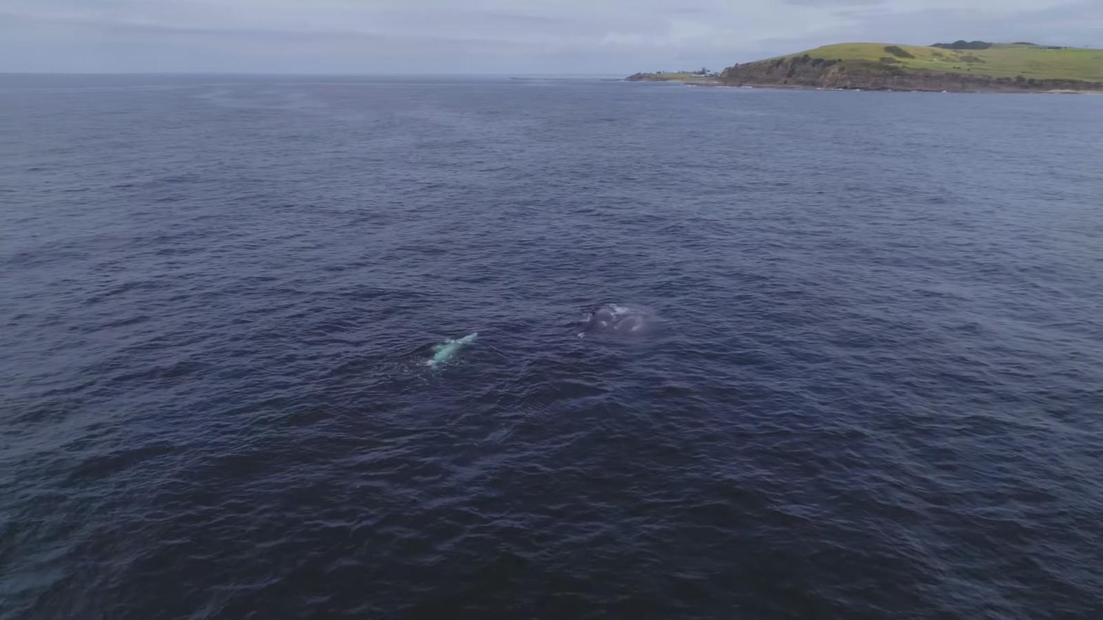
| Watch whales | May to November | Northbound May to July, mothers and calves southbound September to November |
| See clear skies | July to August | Most clear days in the long-term record |
| Catch a big blowhole | Any month with a south-east swell | Swell direction matters more than the season |
For dawn and dusk times by month, see our Kiama sunrise and sunset guide. For whale lookouts, read whale watching in Kiama.
Read the swell before you visit the blowholes
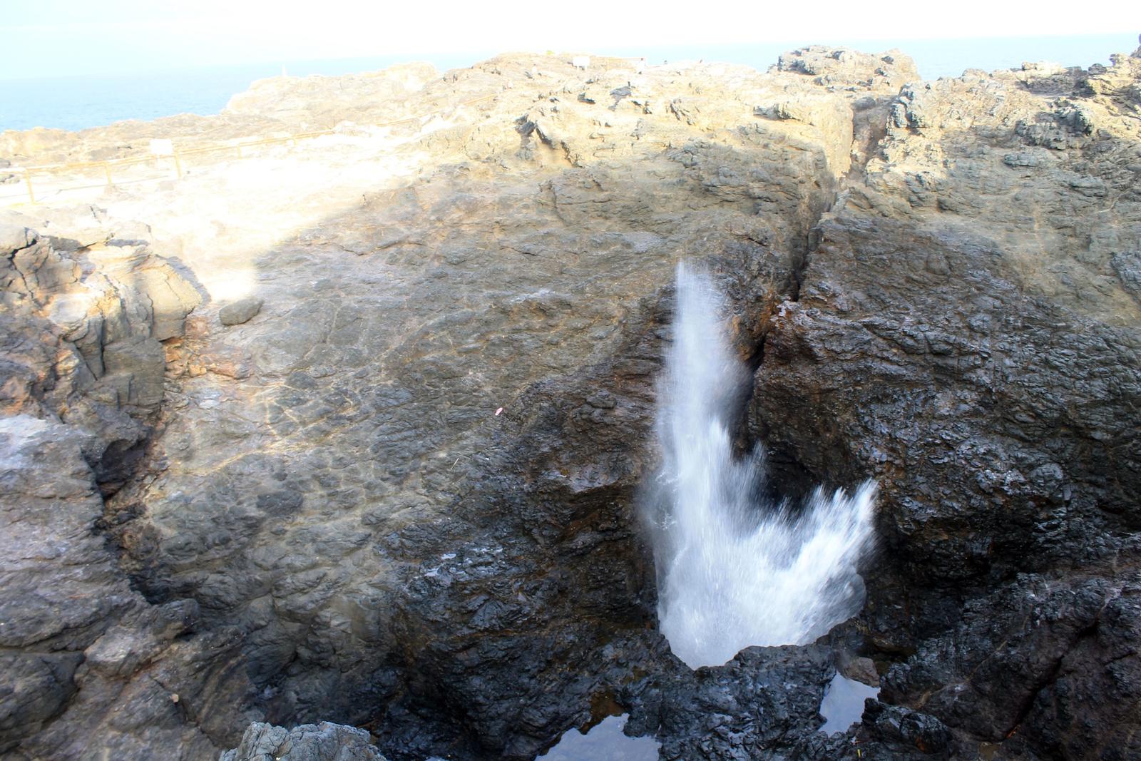
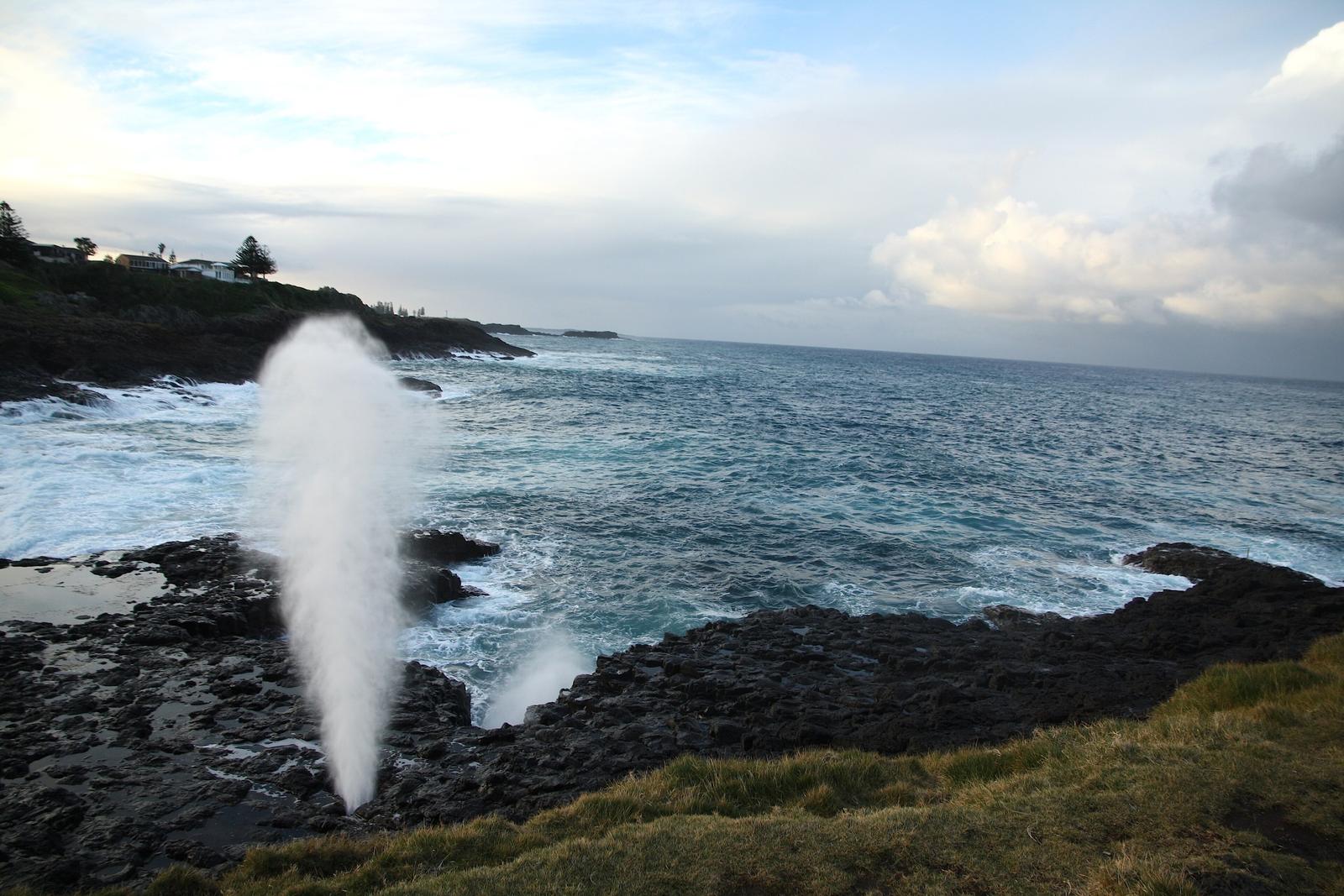
The weather on land is only half the story in Kiama. Destination Kiama says the Kiama Blowhole, the bigger of the two, is most active in a south-east swell, and the Little Blowhole is most active in a north-east swell. A calm, flat day can leave both quiet, even in perfect sunshine.
To check the swell, open the BOM Illawarra Coastal Waters Forecast (Port Hacking to Ulladulla). It lists the wind, sea and swell direction and height for today and the next few days. A south-easterly swell is a good sign for the main Blowhole. If the swell is from the north-east, head to the Little Blowhole instead.
Big swell days also bring waves over the rock platforms. Stay on the paths and behind any barriers, and keep well back from the rock edge, especially with children.
Check the live forecast before you head out
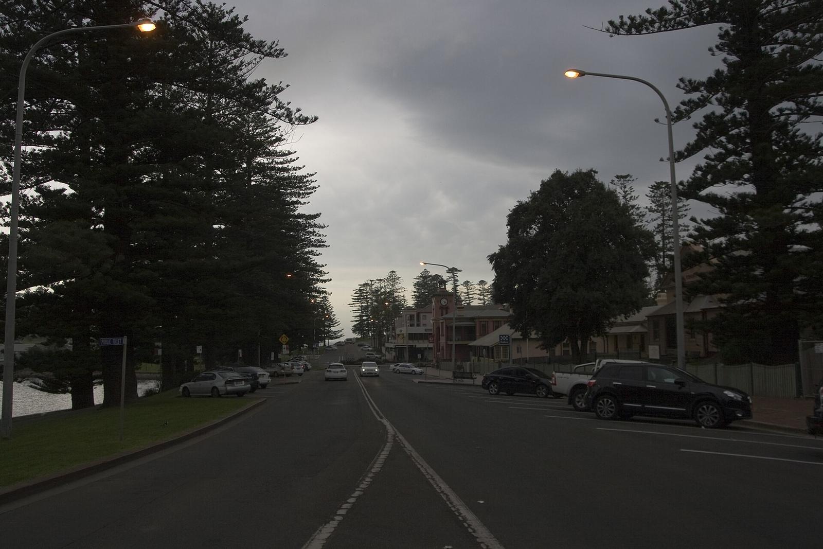
For the day of your trip, use the official sources rather than any average:
- BOM Kiama forecast: seven days of highs, lows, chance of any rain and likely rainfall. Each day also lists the UV Index and sun protection times, which run from about 9:20am to 4pm in mid-October, and the fire danger rating for the Illawarra and Shoalhaven.
- Wollongong (Appin) radar: the nearest BOM radar, useful for timing a walk between showers.
- BOM NSW warnings: severe weather, hazardous surf and marine wind warnings.
- BeachSafe: beach conditions and patrol status from Surf Life Saving.
- Beachwatch NSW: water quality at Kiama Surf Beach, worth checking after heavy rain.
- NSW National Parks alerts: closures in Budderoo National Park and Minnamurra Rainforest, which can close in poor weather.
Pack for wind, sun and a passing shower
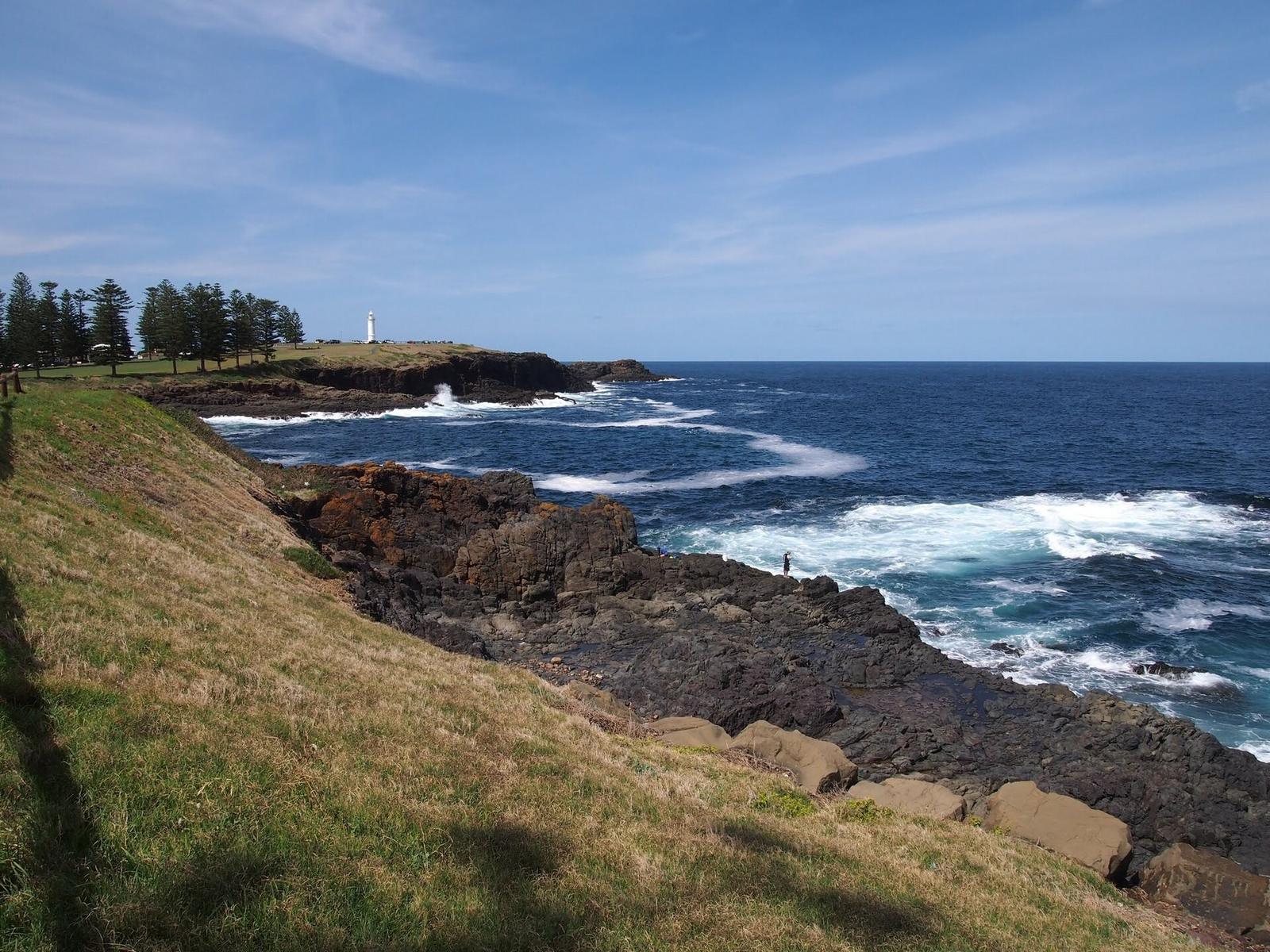
Kiama weather can change in an afternoon, so pack in layers whatever the month.
- All year: a light rain jacket, a warm layer for the headlands, sunscreen, a hat and sunglasses. In mid-October the BOM forecast already showed a UV Index of 7 to 8 on partly cloudy days, so check the sun protection times.
- Summer: swimmers, a rashie, a beach shade and a water bottle. Destination Kiama notes free water refill stations along the Coast Walk and around town.
- Winter: a beanie, a windproof jacket and a thermos for whale watching on the headlands. Nights drop to about 10°C.
- Walking: shoes with grip. Rock platforms and grassy headland tracks get slippery after rain.
Keep busy when the rain sets in
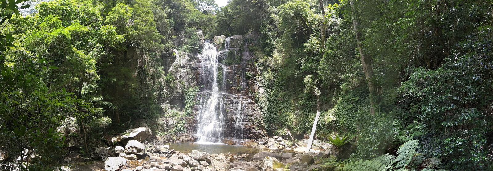
A wet day in Kiama is rarely a lost one. Destination Kiama suggests the Minnamurra Rainforest and the blowholes on rainy days, and the visitor centre can point you to other options. Destination Kiama also publishes a wet weather activities guide. For a full list, see our rainy day things to do in Kiama, or settle in at one of the Kiama cafes.
Kiama Visitor Information Centre
Blowhole Point, Kiama
Open daily except Christmas Day, with free maps, local tips, tickets and a cafe on site. About 4 minutes by car (2.7 km) from the apartments, beside the Blowhole. Phone 1300 654 262.
WebsiteGoogle MapsDirections: Google Maps · Waze
Minnamurra Rainforest Centre
Budderoo National Park, Jamberoo
The start of the Lyrebird Loop and Minnamurra Falls walks, open 9am to 4pm daily, with a $12 vehicle entry fee per day. NPWS says the park can close in poor weather, so check alerts first. About 25 minutes by car (17.8 km).
WebsiteGoogle MapsDirections: Google Maps · Waze
Jamberoo Action Park
Jamberoo
A water and action park for warm days. It opens on set days in its season, 10am to 5pm (Friday to Sunday through October). Open days change through the season, so check the calendar before you go. About 19 minutes by car (15.7 km).
WebsiteGoogle MapsDirections: Google Maps · Waze
Stay comfortable in any season at Kiama Ridge Waters
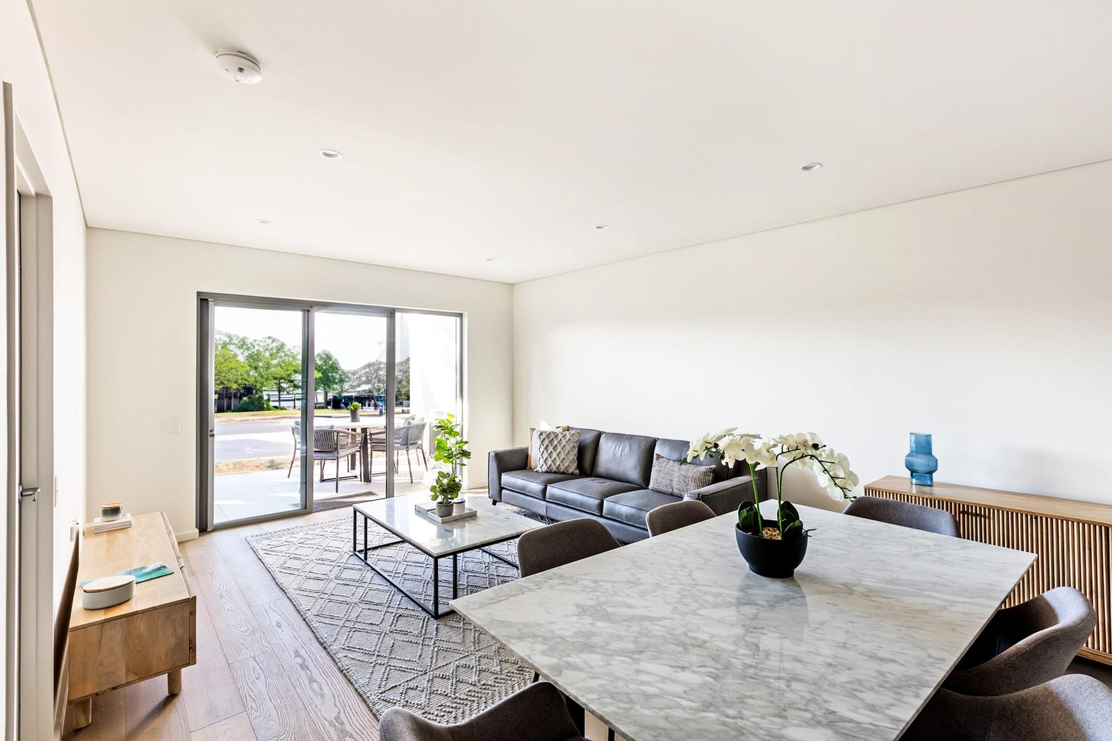
Whatever the forecast, you have a comfortable base at Kiama Ridge Waters, where our three-bedroom apartments at 2 Surfleet Place each sleep up to six guests. All of them have ducted air conditioning and heating, a laundry with a dryer for wet beach gear, and a covered balcony and BBQ for summer evenings. Each has secure garage parking for two cars, handy when the rain comes in and you would rather drive to the Blowhole than walk.
Easts Beach is a 15-minute walk (1.3 km) and Kendalls Beach 16 minutes (1.4 km). The Blowhole and Lighthouse are about 35 minutes on foot, or about 4 minutes by car. Check-in is from 3pm and check-out is by 10am.
Pets are welcome on request in most of our apartments, with a $200 cleaning fee (see pet-friendly stays). Families can read about family stays, and groups can book several apartments together. Bookings can be cancelled for a full refund up to 2 days before check-in, less a 3% payment fee. Check availability for your dates.
Quick answers
What is the weather like in Kiama?
Kiama weather is mild all year. BOM records from Bombo Headland average highs of 25°C in January and 17°C in July, with lows of 19°C and 10°C. Hot days of 30°C or more happen about 8 times a year, and frost has never been recorded at the station.
When is the right time to visit Kiama?
December to March suits swimming, with highs of 24 to 25°C and patrolled beaches. May to November is whale season. Autumn and spring suit the Coast Walk, with mild days and less rain than late summer. Winter brings the clearest skies and cool days around 17°C.
What is the wettest month in Kiama?
March, on BOM records from Bombo Headland. It averages about 11 rain days and a median of 137 mm, followed by February. August and September are the driest months. Kiama rain often comes in short, heavy bursts, so a wet forecast rarely means a full day of rain.
How cold does Kiama get in winter?
Not very. July is the coolest month, with an average high of 17.3°C and an average low of 10.3°C at Bombo Headland. The lowest temperature recorded there since 2001 is 4.9°C. Wind on the headlands makes it feel colder, so pack a windproof jacket for whale watching.
When is the Kiama Blowhole most active?
Destination Kiama says the Kiama Blowhole is most active in a south-east swell, and the Little Blowhole in a north-east swell. Check the swell direction and height on the BOM Illawarra Coastal Waters Forecast before you go. Calm, flat days can leave both blowholes quiet.
Where can I get an accurate Kiama weather forecast?
Use the Bureau of Meteorology's Kiama forecast page for temperatures, rain chance, UV and fire danger, and the Wollongong (Appin) radar for showers. For swell and wind on the water, use the BOM Illawarra Coastal Waters Forecast, and BeachSafe for beach conditions and patrols.
Sources and useful links
- Bureau of Meteorology: Climate statistics for Kiama (Bombo Headland), 068242
- Bureau of Meteorology: Climate statistics for Kiama Bowling Club, 068038
- Bureau of Meteorology: Kiama forecast
- Bureau of Meteorology: Illawarra Coastal Waters Forecast
- Bureau of Meteorology: Wollongong (Appin) radar
- Destination Kiama: Iconic wonders (blowholes and swell)
- Destination Kiama: Weather and seasons
- Destination Kiama: Whale watching
- Destination Kiama: Kiama Visitor Information Centre
- Kiama Council: Beach patrol season 2026 to 2027
- NSW National Parks: Minnamurra Rainforest Centre
- Jamberoo Action Park